‘Digital Seamless Sky’: Russia’s Infrastructure of the Future
At the Archipelago 2025 intensive, the NTI Fund showcased services for the ‘Digital Seamless Sky’ concept, developed in partnership with the GLONASS system.
How It Works and Why It Matters
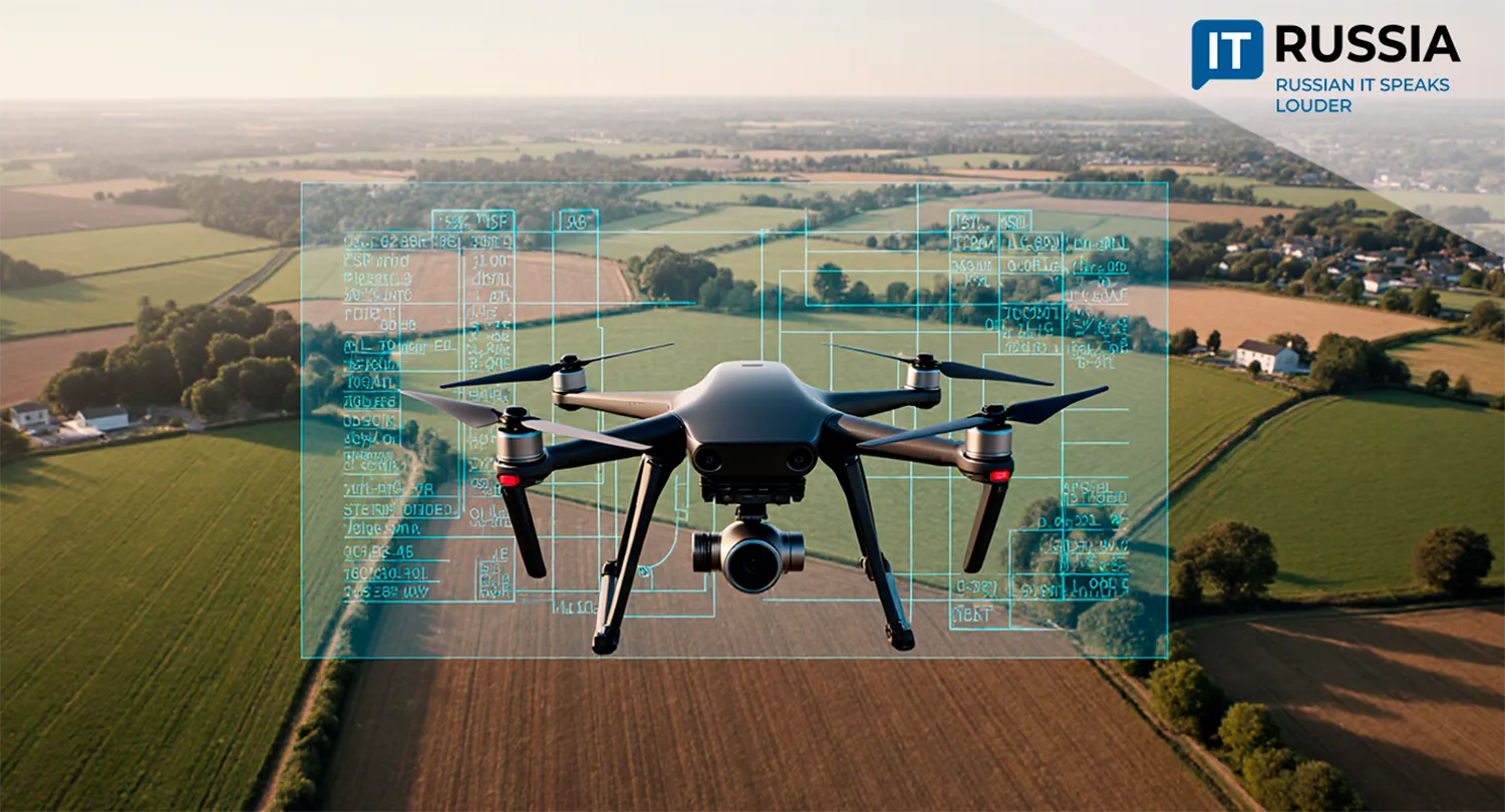
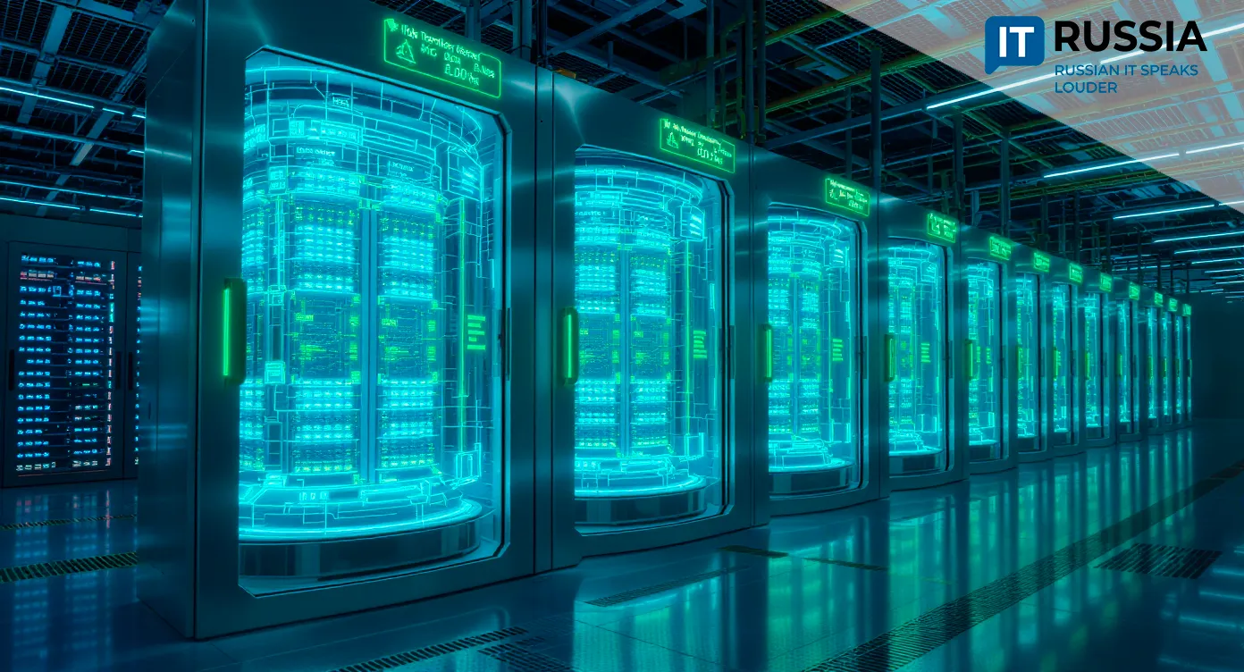
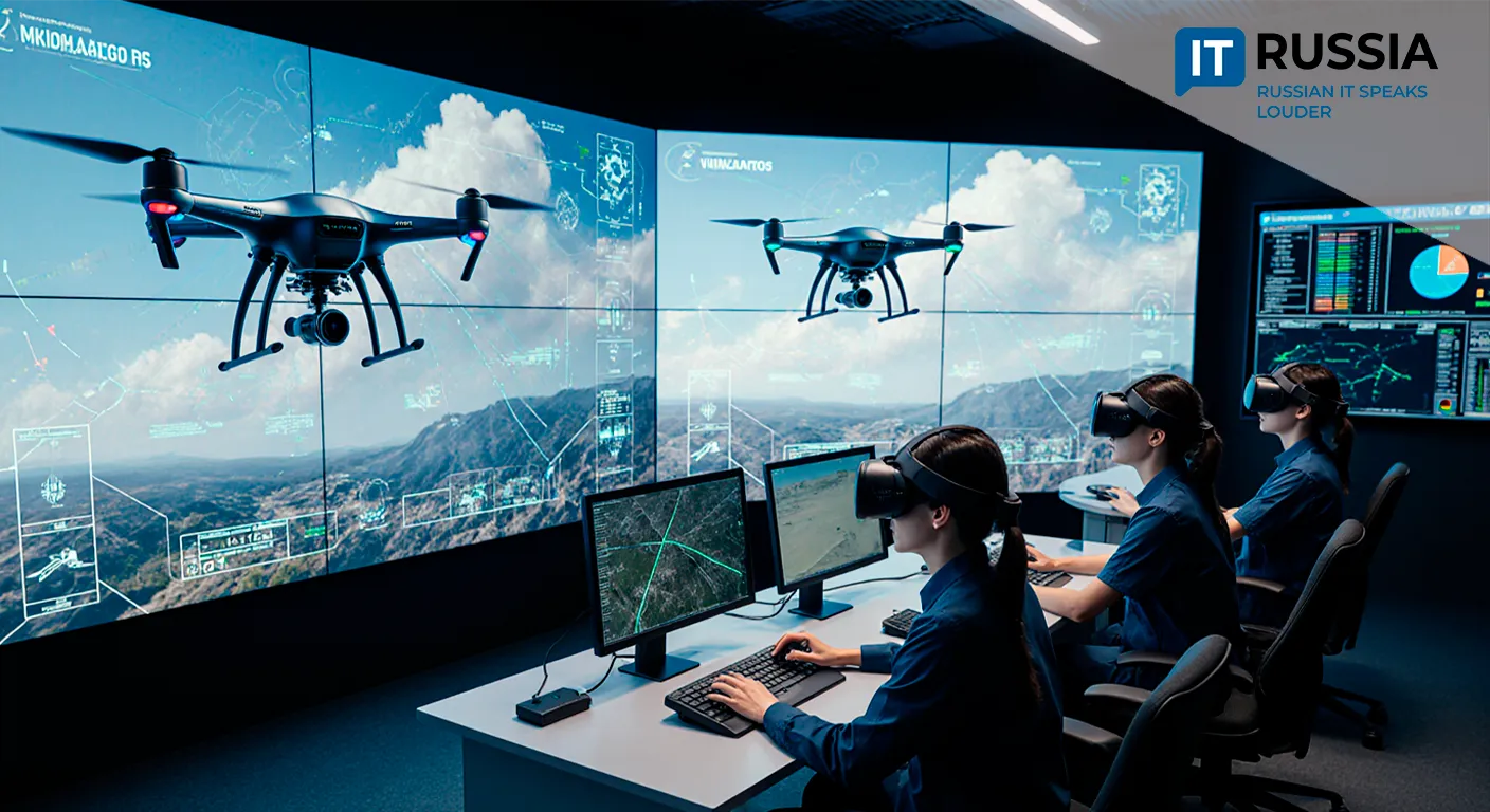
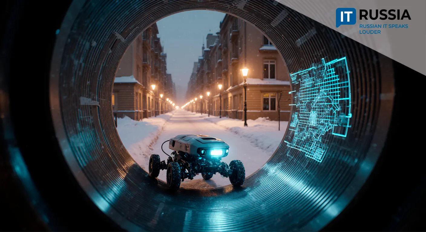
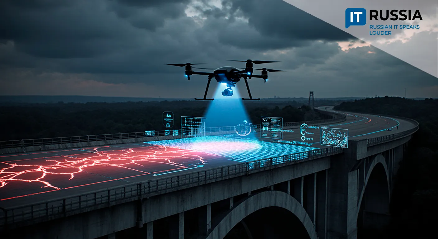
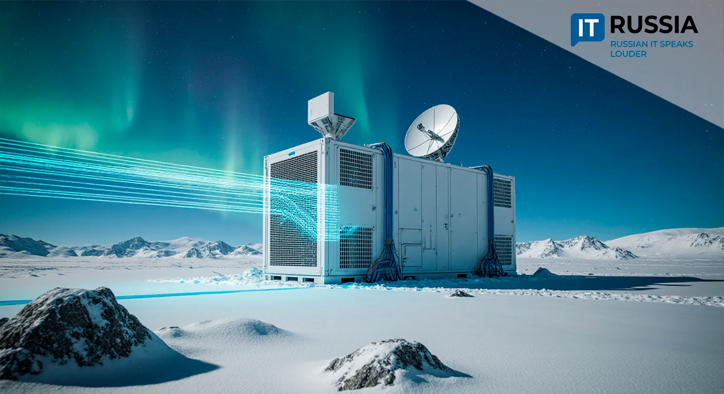
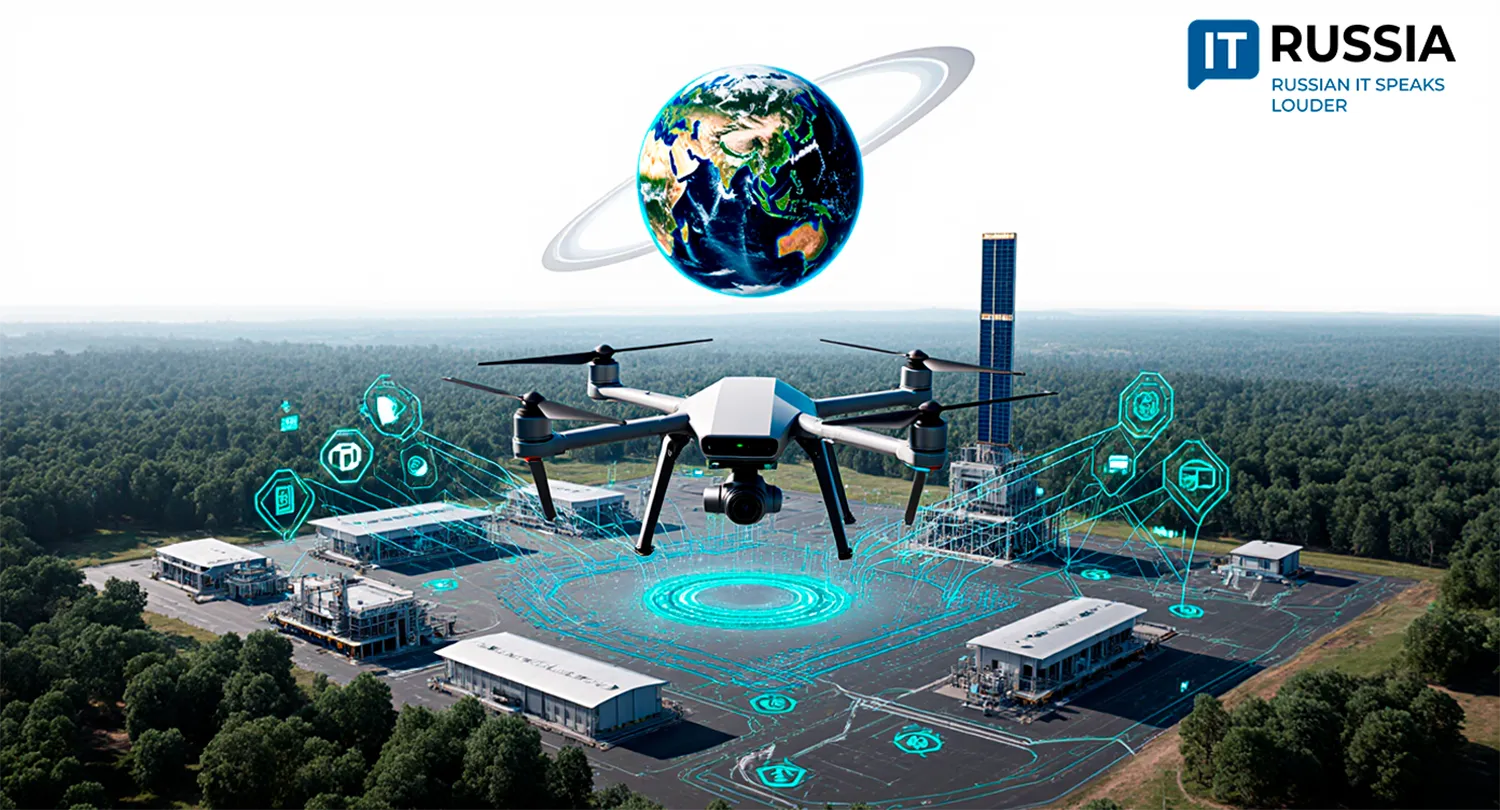
These solutions were developed jointly with the GLONASS system and are based on a radical shift in unmanned systems management in Russia. The main achievement was demonstrating integrated data coverage with ground infrastructure: during testing, a droneport received satellite data and automatically generated a task for drone deployment, operating through a ‘single window’ interface. The system is designed so operators can choose tailored solutions for specific tasks — scaling the droneport network or selecting drones for heavy payloads.
This marks the first time that infrastructure has united ‘earth’ and ‘space’ into a single digital environment. The single-window mode is a core feature, enabling centralized management of a drone fleet and optimal solution selection for each mission. Integrating drone data access is a critical factor in digitizing transport and logistics, boosting efficiency and management capabilities.
The primary focus is on the Russian market, with significant potential for scaling the technology to large industrial facilities and other industrial uses. The Digital Sky architecture is being designed to incorporate all possible technologies and platforms in the environment to ensure the safe operation of unmanned systems. The concept is being developed by GLONASS and the NTI Platform in collaboration with leading experts and market players.

From Logistics to Export Potential
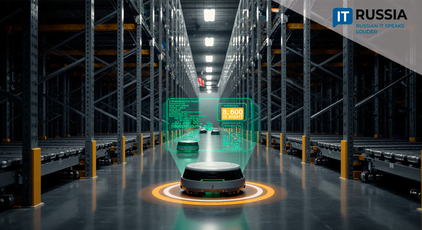
The new system will find applications in logistics and emergency operations in remote regions. Domestically, it resonates with infrastructure projects, energy grids, and emergency services. A reference library of drone-use cases within this framework already exists.
There is also export potential to countries with advanced logistics or challenging terrain, particularly after adapting to meet international standards. In the near future, this could lead to fully autonomous delivery networks integrated with AI for rapid decision-making.
External market solutions are part of the larger roadmap for implementing the concept and aligning strategic objectives.
Application Areas
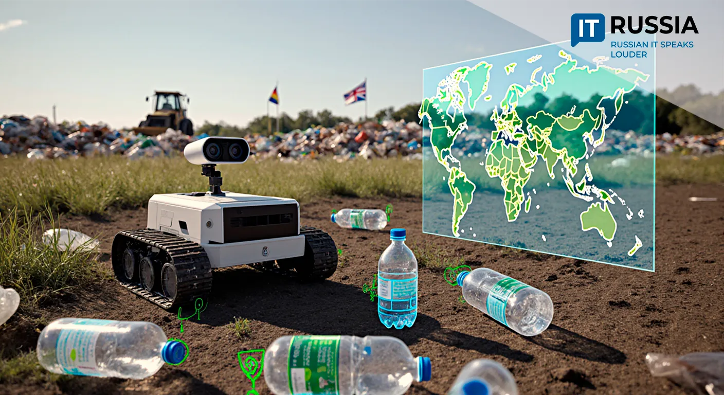
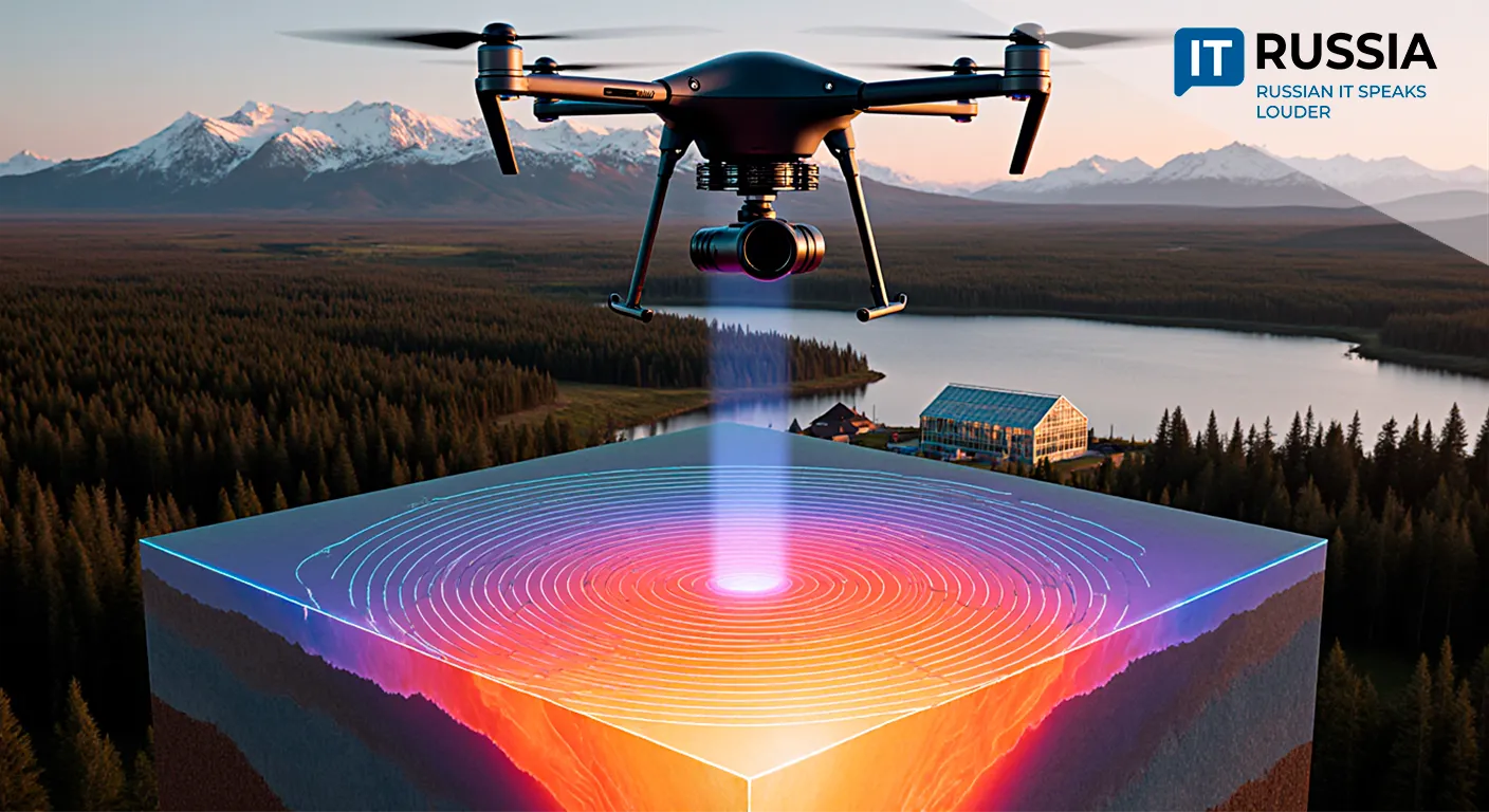
Forest monitoring: drones equipped with GLONASS receivers can be used to create precise maps of forested areas, track changes in forest cover, detect illegal logging, and assess wildfire damage.
Integration with forestry equipment: regulations require GLONASS equipment to be installed on logging machinery to monitor its movement and ensure safety.
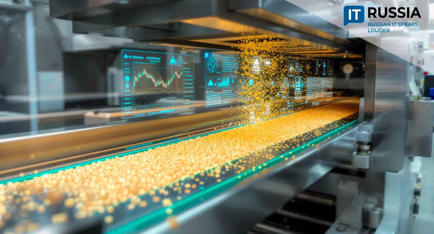
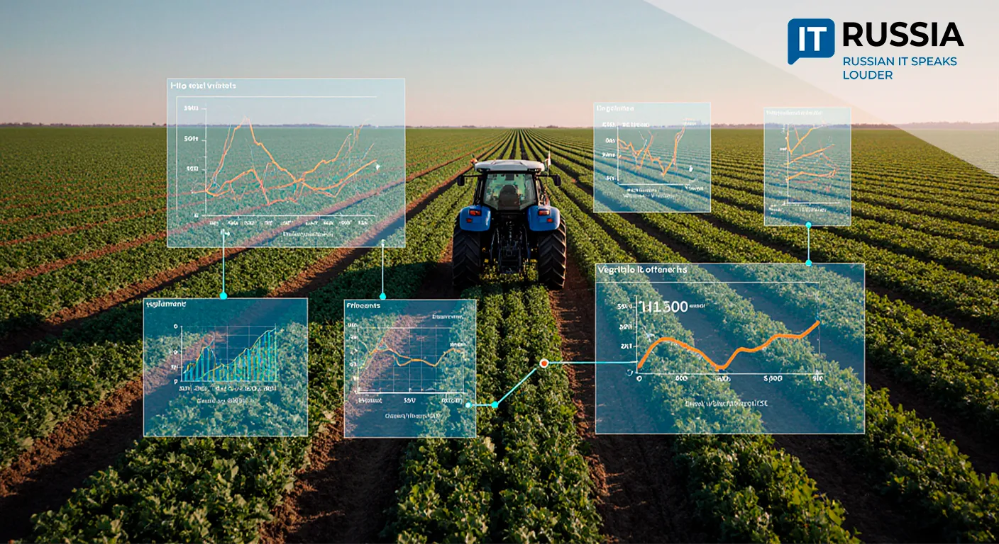
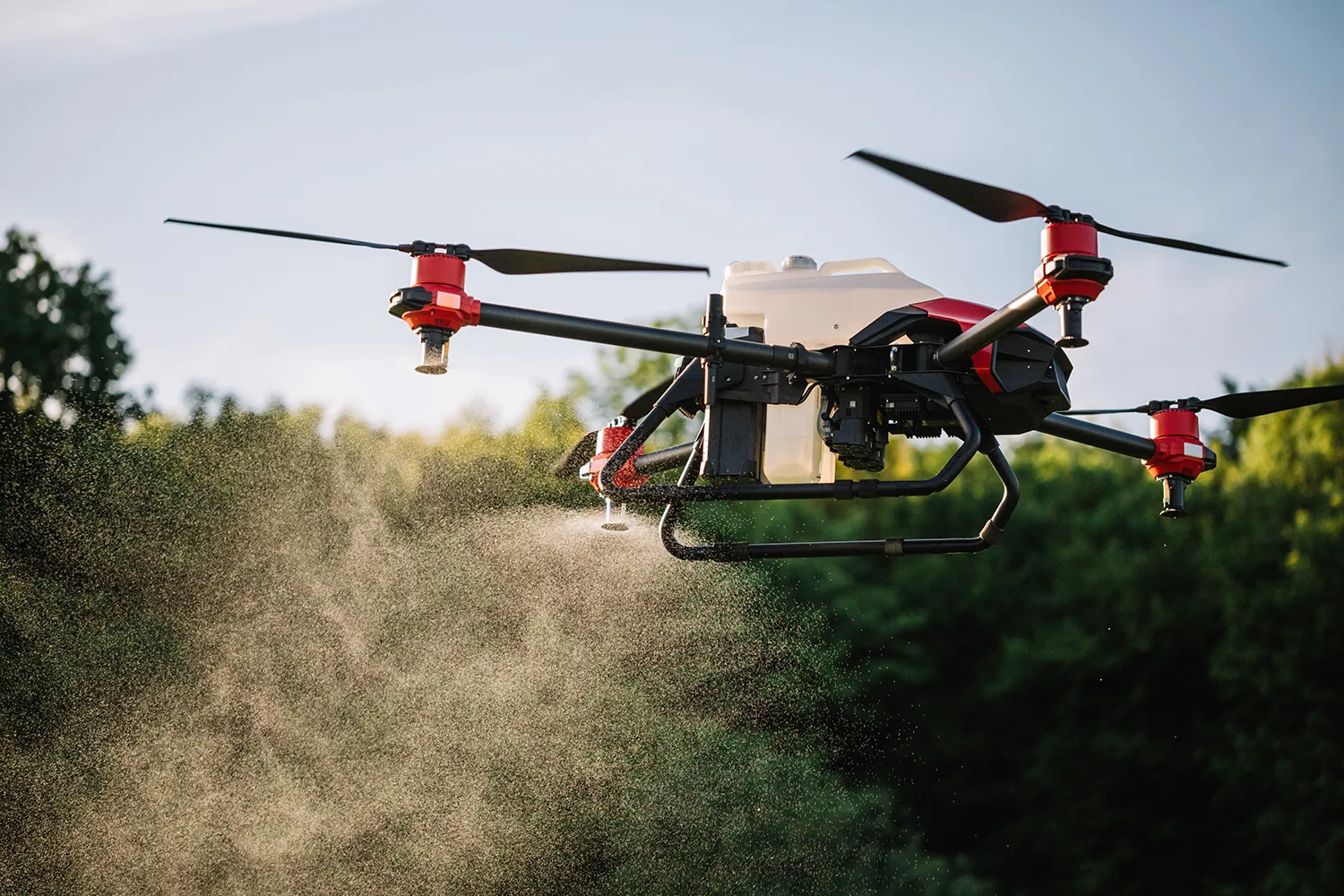
Agriculture: in farming, GLONASS-enabled drones are used to monitor crops, assess yields, identify problem areas, and optimize the use of resources such as water and fertilizers.
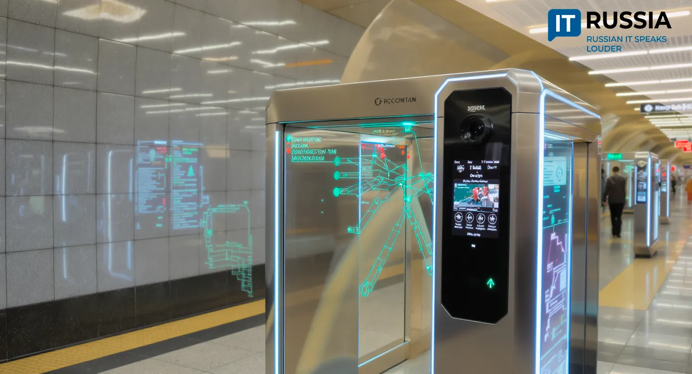
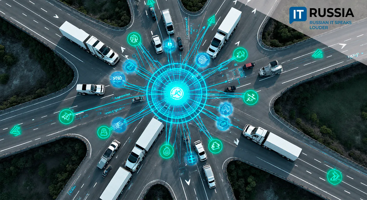
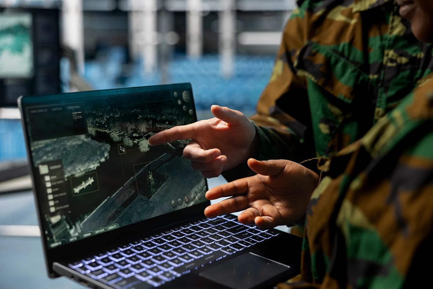
ERA-GLONASS: this system aims to improve road safety by ensuring rapid transmission of accident information to emergency services — an asset that can also enhance monitoring and emergency response capabilities.
Outlook
In the short term (1–2 years), pilot implementations are expected in logistics, security, and agriculture. In the medium term (3–5 years), the focus will shift to export and adaptation in CIS and Asia-Pacific markets. In five years and beyond, development is expected to move toward fully autonomous extraction and delivery networks, integrated with AI for real-time decision-making.
This system represents an important step toward the complete convergence of satellite data and ground-based unmanned infrastructure. Its advantages include speed, modularity, scalability, and centralized management. Integrating GLONASS with drones opens vast possibilities for automation, efficiency improvements across monitoring operations, and enhanced safety in multiple sectors.