Sergey Lebedev: “The market does not need gadgets – it needs resilient navigation systems that actually work in real-world conditions”
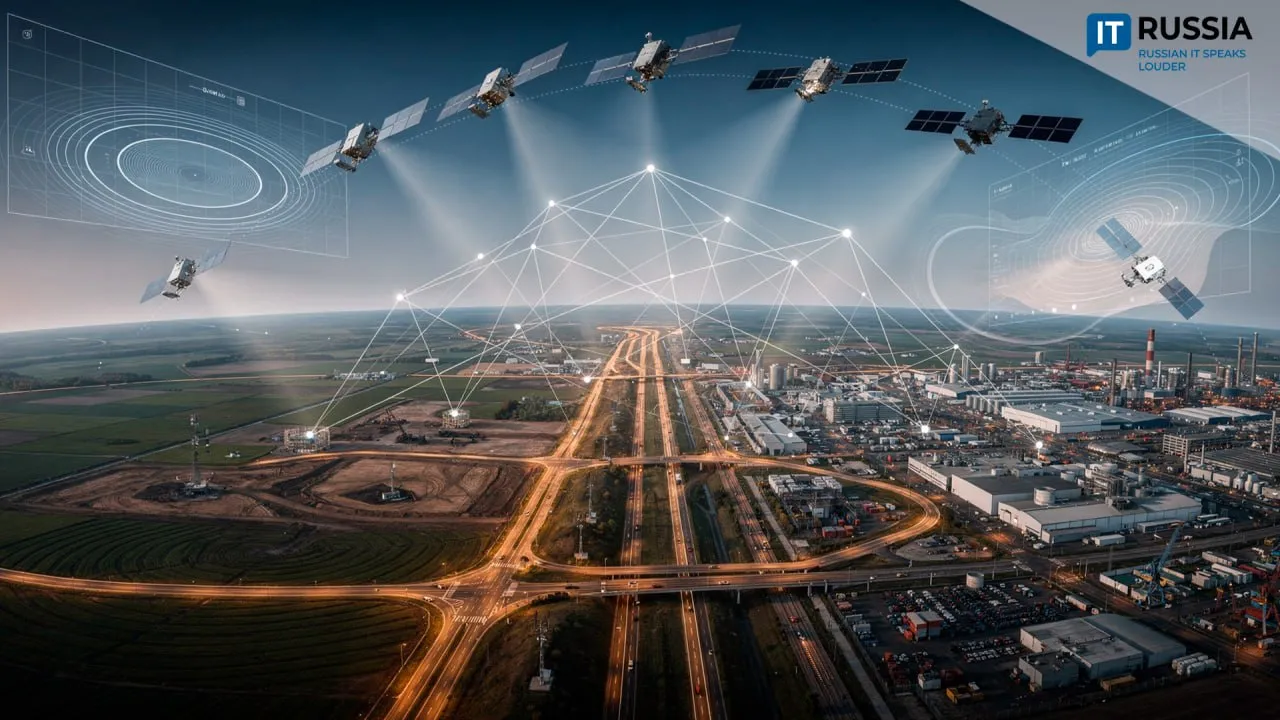
Satellite navigation systems are developing at pace in Russia.
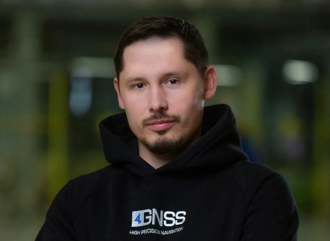
Precision farming, lean construction, robotic freight delivery, uninterrupted connectivity – modern Russian navigation systems are reshaping entire industries. Sergey Lebedev, Chief Executive Officer of navigation technology developer Orient Systems, spoke to IT-Russia about the evolution of domestic satellite technologies.
– How would you assess the development of satellite navigation systems in Russia today?
– The GLONASS system is undergoing active modernisation. This includes both the deployment of next-generation satellites and the rollout of complementary projects designed to improve signal availability and resistance to interference. Together, these efforts form the foundation for reliable high-precision positioning.
When it comes to the sector’s digital transformation, it is being driven by a combination of technologies: satellite signals, high-precision correction technologies (RTK, PPP, PPP-RTK), specialised software for field and industrial applications, and the direct integration of solutions into machinery and monitoring systems.
– Could you tell us about your own developments?
– Our company designs and deploys high-precision GNSS solutions and components – including receivers, OEM boards, modems, inertial systems, and software. These technologies are used in geodesy, agriculture, unmanned systems, mining, monitoring, hydrography, and the automation of specialised machinery.
They allow businesses to move beyond basic coordinate data towards managing full business processes, where high accuracy translates into tangible savings of time and money. We have solutions for precision farming as well as for operations in harsh environments, including inertial GNSS receivers designed for complex tasks.
For example, we developed a multi-band GNSS receiver for MTS as part of its corporate differential correction network. In simple terms, a standard receiver provides positioning accuracy within a few metres, while our device, using correction data from the MTS network, delivers centimetre-level accuracy. This is critical for high-precision positioning services in transport, construction, agriculture, and unmanned vehicle management, where even a couple of metres of error is unacceptable.
– Can high-precision GNSS be considered a form of basic infrastructure for the digital economy, similar to the internet or electricity?
– Absolutely. By its nature, it is a foundational layer of infrastructure. Accurate coordinates and synchronised time are becoming a universal technological layer required for automation, robotics, monitoring, and legally significant measurements. Without stable centimetre-level positioning, it is impossible to build reliable autonomous systems or efficient digital workflows on construction sites, farmland, quarries, or waterways.
– Where does the dividing line lie between standard GPS or GLONASS navigation and centimetre-level positioning, and when does that difference really matter?
– Mass-market navigation typically delivers accuracy at the metre or decimetre level. That is sufficient for navigation, but not for precision operations. Centimetre-level accuracy is achieved through phase measurements and specialised corrections. This enables automated vehicle guidance along predefined paths, repeatable operations, and quality control without constant operator intervention. The difference is critical in precision farming, where overlaps and gaps must be avoided, in construction, including grading and material placement, and in surveying work.
Modern solutions handle challenging conditions effectively through several approaches, primarily multi-system and multi-frequency operation. Using signals from multiple satellite systems, such as GLONASS, GPS, and BeiDou, across several frequencies improves observation geometry and reduces the impact of atmospheric interference.
Hybrid technologies are also used. Combining GNSS with inertial measurement units allows accuracy to be maintained during short-term signal loss. In practice, a reliable base-station network, resilient communication channels, and data quality monitoring systems are often more important than the raw technical specifications of an individual receiver.
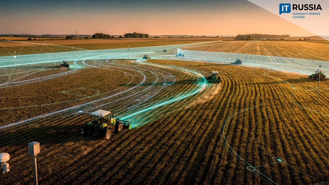
– We already see autonomous tractors and precision farming systems in use. How, in your view, is autonomy changing business models and agricultural professions?
– Farmers and agronomists are increasingly moving away from the role of vehicle operators and towards managing processes and data. Their work is shifting towards task planning, including maps and application rates, quality control of operations, and deviation analysis. For businesses, this means measurable quality and repeatable results, reducing losses caused by human error. That is why the market now values not just machinery, but integrated solutions with clear deployment timelines, ease of use, and reliable support.
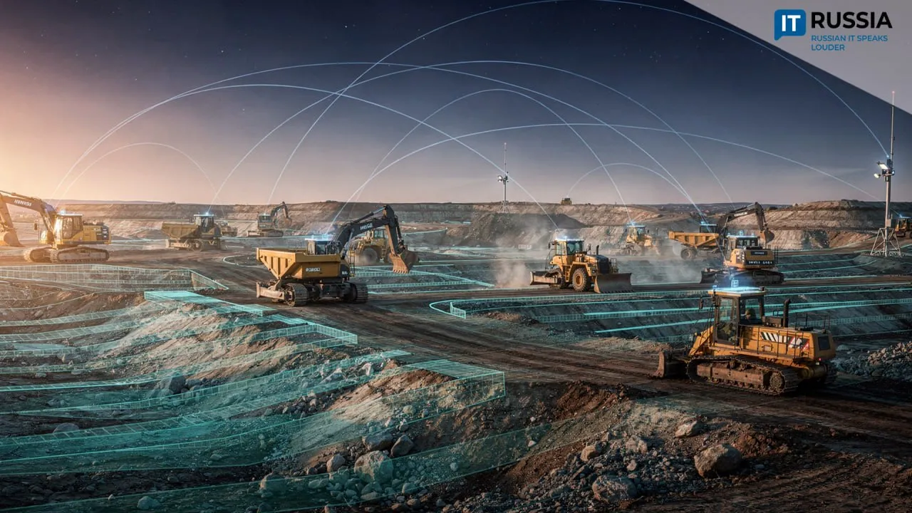
– How are satellite technologies changing the way construction work is done?
– Centimetre-level accuracy allows machinery to become a precise executor of a digital terrain model or project design. Equipment automatically follows a defined surface or trajectory, records volumes of completed work, and transmits data for oversight. This reduces rework, accelerates the “design – execution – acceptance” cycle, lowers dependence on operator skill levels, and improves schedule predictability. Technically, this is achieved through the integration of high-precision positioning, specialised software, and operational workflows.
– Looking five to seven years ahead, how will the role of humans in equipment control change in these industries, and what new professions are likely to emerge?
– Human roles will shift from manual control towards supervision, oversight, and strategic process planning. We expect growing demand for specialists such as engineers who integrate navigation systems into machinery, experts in geospatial data and digital control configuration, operators of monitoring centres for autonomous equipment fleets, and technical specialists responsible for servicing and calibrating navigation and inertial systems.
– What challenges do companies developing modern navigation systems face today?
– The key challenge is to offer the market not just standalone devices, but resilient systems that are ready to operate under real-world conditions. Customers need solutions with clear documentation, straightforward integration, predictable delivery timelines, and high-quality technical support.
The main opportunity lies in genuine import substitution, where industries adopt domestic solutions because of their competence, flexibility, ability to be tested in real-world scenarios, and rapid response to market demands. These factors directly align with the selection criteria identified by customers themselves.