

Russian Physicists Create a Probe That Could Eliminate Dangerous Manual Ice Work
Every spring, hundreds of people risk their lives by venturing onto the ice covering rivers, lakes and reservoirs. Fishermen, rescue workers, drivers and hydrological engineers all depend on a thin layer that can crack at any moment.
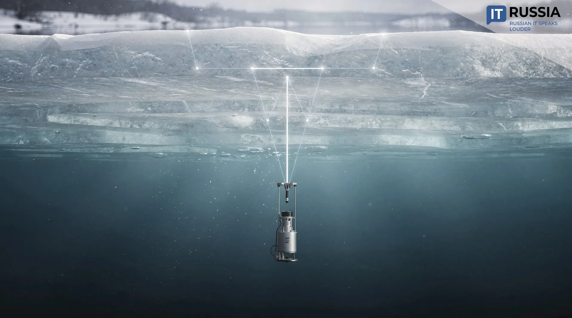
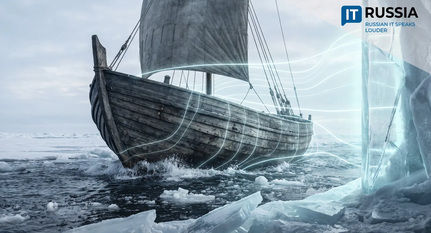
Drilling holes and collecting ice cores requires people to be on the surface, making the work particularly dangerous in spring. Scientists at the A. V. Gaponov-Grekhov Institute of Applied Physics of the Russian Academy of Sciences in Nizhny Novgorod have developed a high-tech method for measuring ice thickness. An underwater acoustic probe will remotely measure the thickness and condition of ice cover on rivers, lakes and reservoirs.
Safer Ice
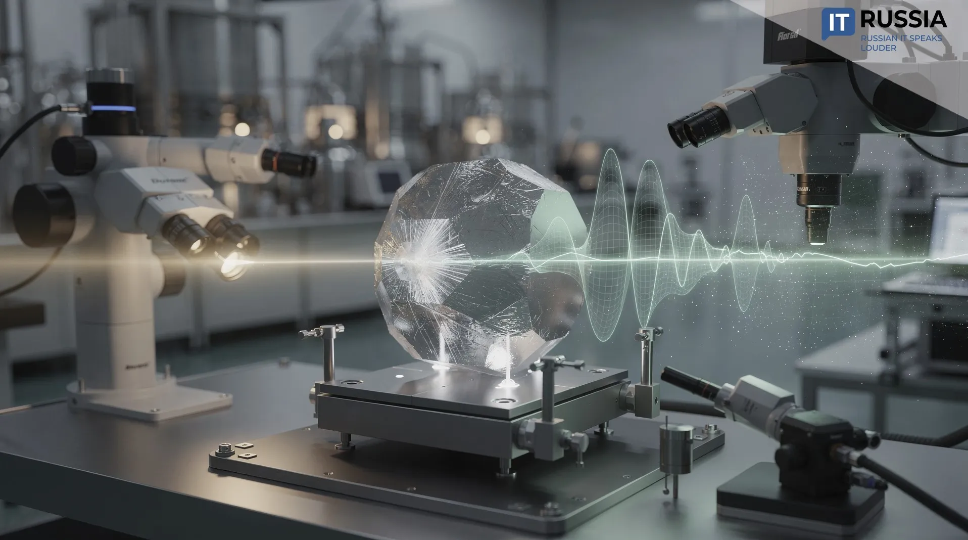
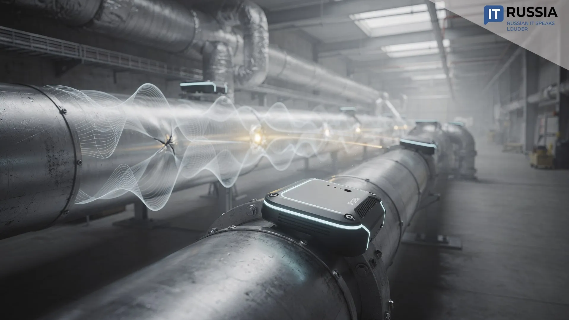
The device operates underwater, sending an acoustic signal upward while algorithms use characteristics of the reflected pulse to calculate ice parameters in real time. The underwater probe is a complete digital ecosystem that combines sensor equipment, data-collection systems, acoustic-signal processing algorithms and mathematical models for reconstructing ice characteristics. There are no holes to drill and no need to put people at risk – just digital technology for automated, continuous and remote monitoring.
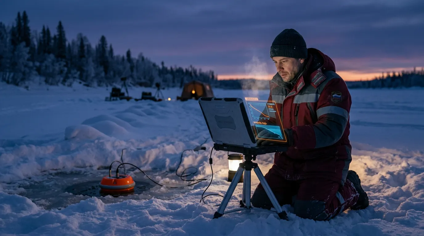
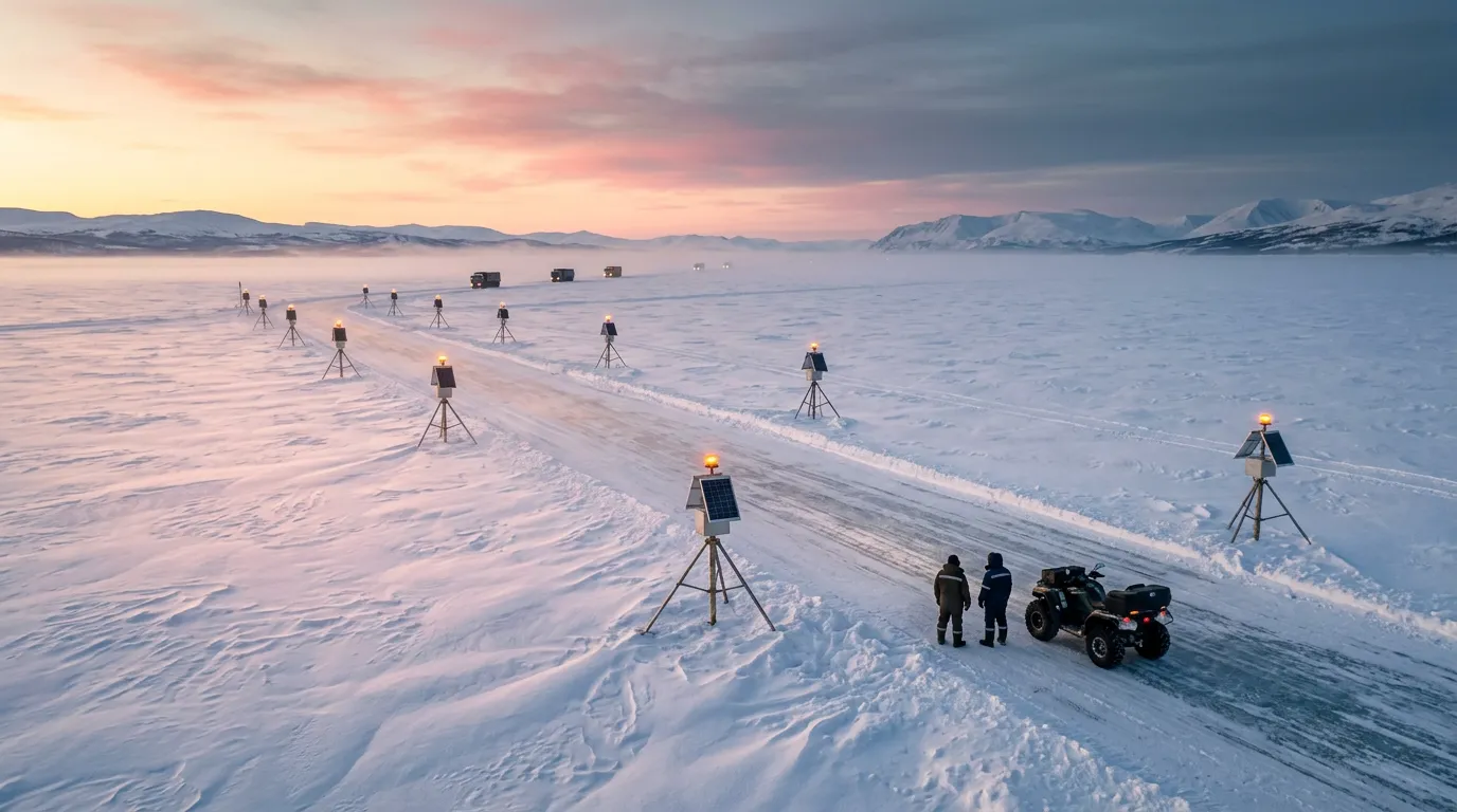
Timely data on ice conditions are needed to monitor ice crossings and winter roads, keep tourist routes safe, predict when rivers will break up and assess the risk of spring flooding. In Siberia, the Russian Far East and the North, where the ice season lasts for months, systems like this could help save lives while reducing the cost of manual surveys.
Digital Technology in the Arctic
Over the past several years, Russia has been actively digitizing Arctic monitoring. The effort is driven primarily by the development of the Northern Sea Route. This shipping corridor offers a faster and less expensive route between Asia and Europe, and interest in it continues to grow. Cargo traffic along the Northern Sea Route totaled 36 million metric tons in 2023 and reached a record nearly 37.9 million metric tons in 2024. By 2030, it could reach 109 million metric tons.
The Arctic and Antarctic Research Institute is working to extend the lead time and improve the accuracy of ice forecasts along the route. Its scientists are developing a new safety system for Arctic shipping. It includes a digital ice-information platform, AI-based recognition of hazardous ice formations and automated processing of imagery.
Satellites Arktika-M (Arctic-M) and Resurs-P (Resource-P), equipped with optical and infrared sensors, help create detailed ice-cover maps and determine ice types and movement. Arktika-M is the only system in the world that monitors the Arctic from an altitude of 40,000 kilometers, higher than GLONASS systems. According to Roscosmos (the Russian State Space Corporation), four more upgraded Arktika-M satellites will be placed in orbit by 2031.
The underwater probe will complement satellite data with information collected directly from within the water column, making the picture of ice conditions more three-dimensional and precise. Russian scientists are continuing to develop autonomous underwater monitoring technologies. One of the most prominent projects in this field is the MMT-3500 autonomous unmanned underwater vehicle. It explores the depths of Lake Baikal. Using the vehicle, scientists can build a more accurate picture of the lake ecosystem and its geological structures.
Beyond the Horizon
The technology combines physics, sensorics and big-data analysis and can do more than take measurements: it can also collect, transmit and process information. Potential customers include weather services, energy companies, transportation companies and regional governments. In the coming years, underwater probes are most likely to be integrated into comprehensive monitoring systems that combine sensor data with satellite imagery and analytical platforms. This would make it possible to build accurate digital models of ice conditions and manage infrastructure more effectively.
The underwater probe represents a shift from manual work to smart technology, from risk to safety and from scattered measurements to continuous digital monitoring.