Artificial Intelligence Is Helping Study Soils in Russia’s Arid Regions
The method enables analysis of soil fertility, degradation, and erosion in steppe areas and supports the development of yield-boosting farming techniques.
Scientists at the Ufa Federal Research Center of the Russian Academy of Sciences have used satellite imagery and artificial intelligence to study soils in Russia’s semi-arid Trans-Ural steppe zone.
To forecast key parameters of topsoil structure, the researchers tested multiple machine-learning approaches, combining environmental variables such as soil and climate data with remote-sensing information.
Adaptive Agriculture in Action
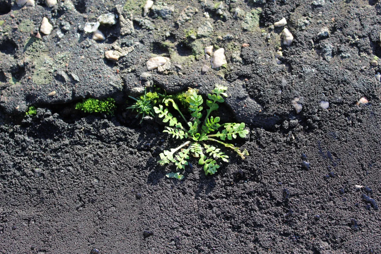
The team first collected 45 soil samples and then assessed how well the soil structure held up when exposed to water. Larger aggregates were found to break down during washing: their structure proved less resistant to moisture, surfaces silted up more quickly, water permeability declined, and vulnerability to erosion increased.
The researchers then attempted to map these measurements using machine learning and satellite data. They analyzed Landsat 8 imagery from three different dates, calculated spectral indices, and added climate variables. The most accurate results came from assessing soil water stability, specifically the rate at which soil breaks down when wetted.
Producing such maps is faster and more cost-effective than conducting comprehensive field surveys. The approach could prove valuable for land-use planning in arid regions.