First Digital Model of Underground St. Petersburg Created
The model is expected to support urban planning and infrastructure design.
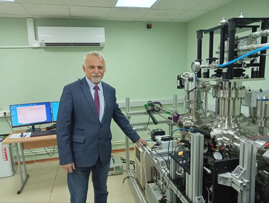
Authorities in St. Petersburg have completed the city’s first digital model of its underground space, the city government said. Over the past year, the contractor – the Karpinsky Institute – built the virtual map using archival geological survey data. Specialists can now conduct in-depth analysis of the subsurface environment in digital form.
Officials say the model is designed to support urban development planning and environmental initiatives. Plans also call for the creation of a full digital twin of the Northern Capital’s underground space.
Seeing the City From Another Angle
The digital model has been recommended for use by the Federal Agency for Subsoil Use. It can be integrated with other information systems for hydrogeological zoning and the design of underground infrastructure.
Earlier, local historian Alexander Treugolnikov presented virtual tours of “lost Petersburg.” The online excursions guide users through historic buildings that no longer exist or are currently closed to visitors. The tours are built from numerous panoramic images, creating an immersive effect. Digital technologies are helping residents see familiar cities in new ways.