

LiDAR Is Searching for Hidden Underground Threats in New Moscow
Researchers from the Russian Academy of Sciences’ Institute of Geoecology, Moscow State University of Civil Engineering, Lomonosov Moscow State University and Mosgorgeotrest have developed a method that can “look” underground for potentially dangerous depressions in the terrain.
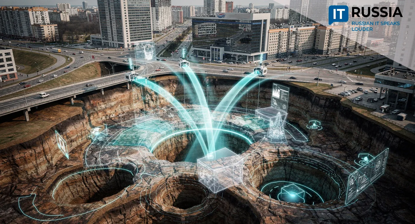
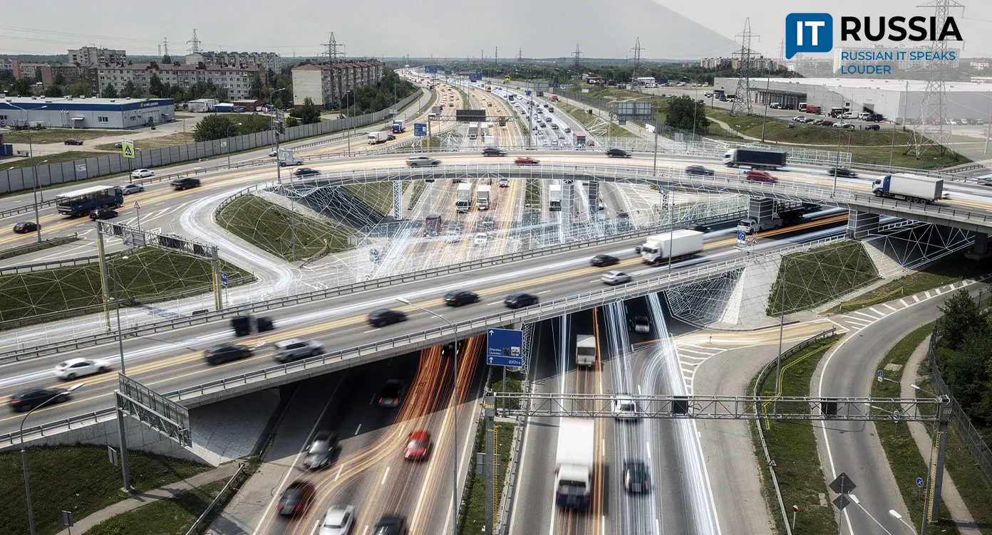
New Moscow is a landscape of neighborhoods under construction and modern highways. But the ground beneath those homes and roads has not been fully assessed, and some soils cannot withstand the loads placed on them. Beneath the Troitsky and Novomoskovsky administrative districts, abandoned underground stone mines add another problem, with tunnels stretching for miles and underground voids as large as 8,000 cubic meters. Together, these conditions pose a serious geological threat to the growing metropolis.
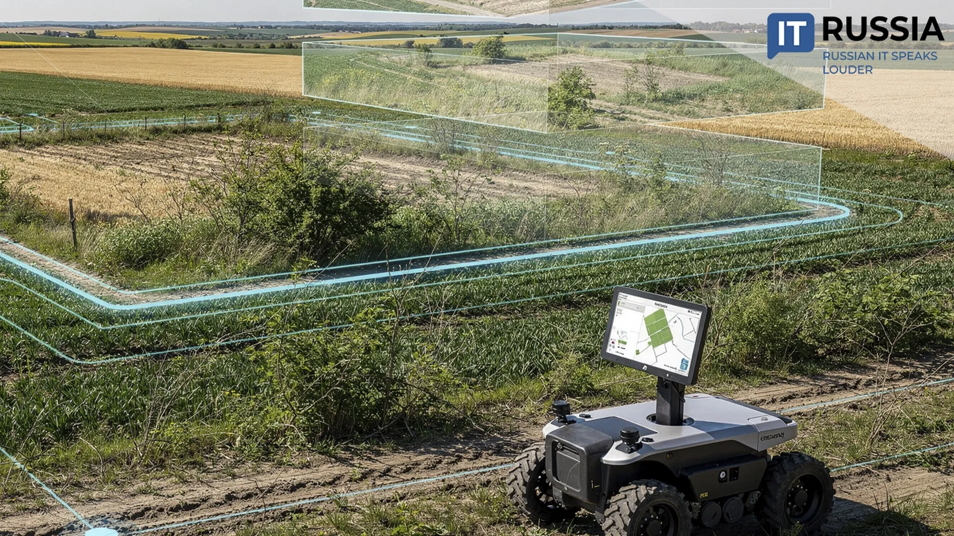
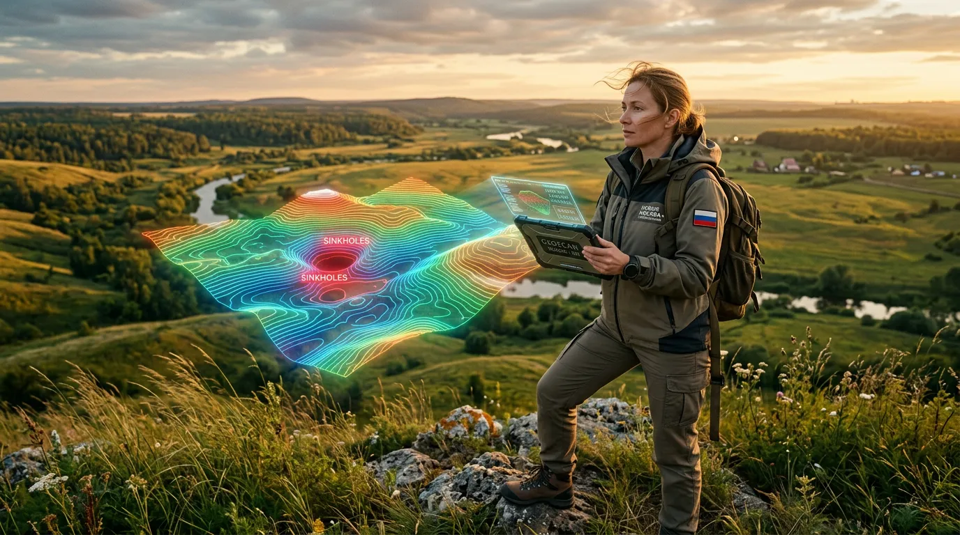
The response is an automated system for processing light detection and ranging, or LiDAR, data. Across an 8-square-kilometer test area in the floodplains of the Desna and Pakhra rivers, the system identified 392 localized terrain depressions more than 0.3 meters deep.
Beneath the Metropolis
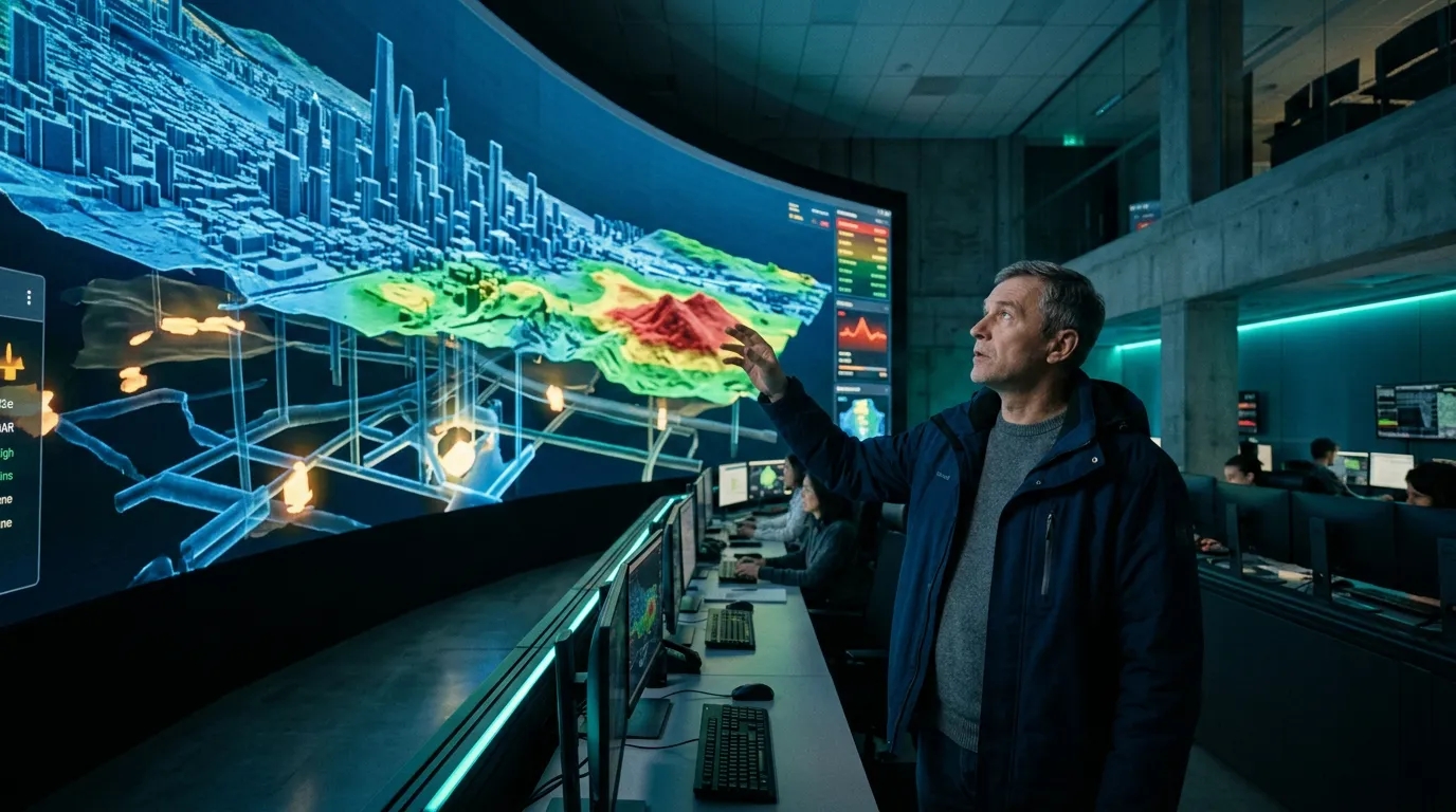
The study found that natural karst processes are not the main threat – researchers identified only six such features. Human activity accounts for the overwhelming majority of the depressions. Construction or archaeological work caused 234 of them, while another 152 formed as soil subsided above voids left by old underground mine workings. The voids in the Rybinskaya-1 quarry, for example, total 8,576 cubic meters. Researchers say such sites may be even more dangerous than natural karst cavities because they lie just a few meters below the surface and accumulate overlying soil, potentially deforming structures when environmental conditions change.
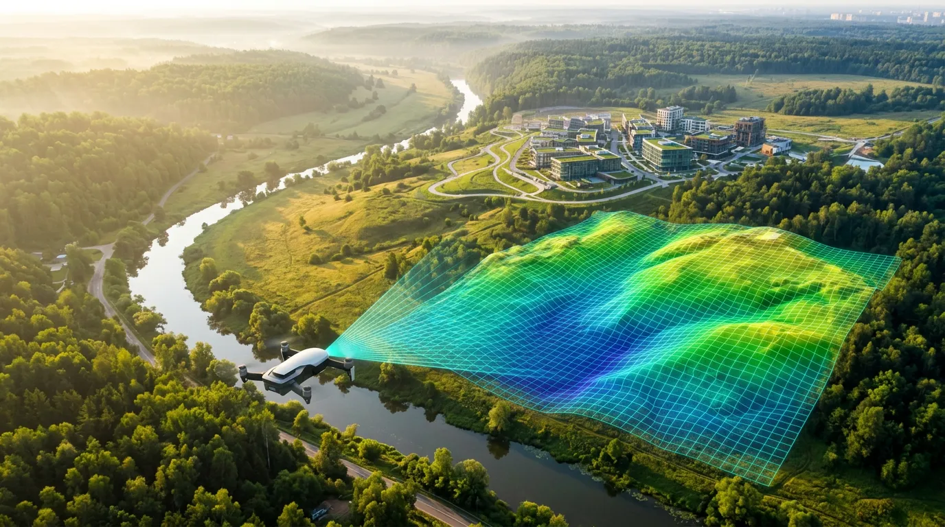
The new algorithm will automatically process large datasets, turning point clouds into digital terrain models at a resolution of 0.2 meters per pixel. Researchers plan to map New Moscow by risk level, combining LiDAR data with archival records and findings from field surveys. Ultimately, the goal is to fully integrate the system into the city’s digital twin.
The Ground Beneath the City
Digital twins are becoming an important tool for managing risk. Researchers at the Karpinsky Institute decided to “look” beneath St. Petersburg and created a 3D model of the underground space below the city. They digitized and combined information from nearly 10,000 boreholes, ranging from shallow geotechnical workings to ultradeep wells. The goal is practical: to give planners, engineers and builders objective information about what awaits them underground. The digital twin can help determine where to route a subway line or build a high-rise.
During the reconstruction of Moscow’s Luzhniki Stadium, researchers from the N.M. Gersevanov Research Institute of Bases and Underground Structures faced a combination of Jurassic clay deposits and the need to preserve the historic facade. Using the PLAXIS 3D software suite, they modeled the effects of construction work, improving the reliability of their forecasts while reducing foundation costs through detailed soil analysis.
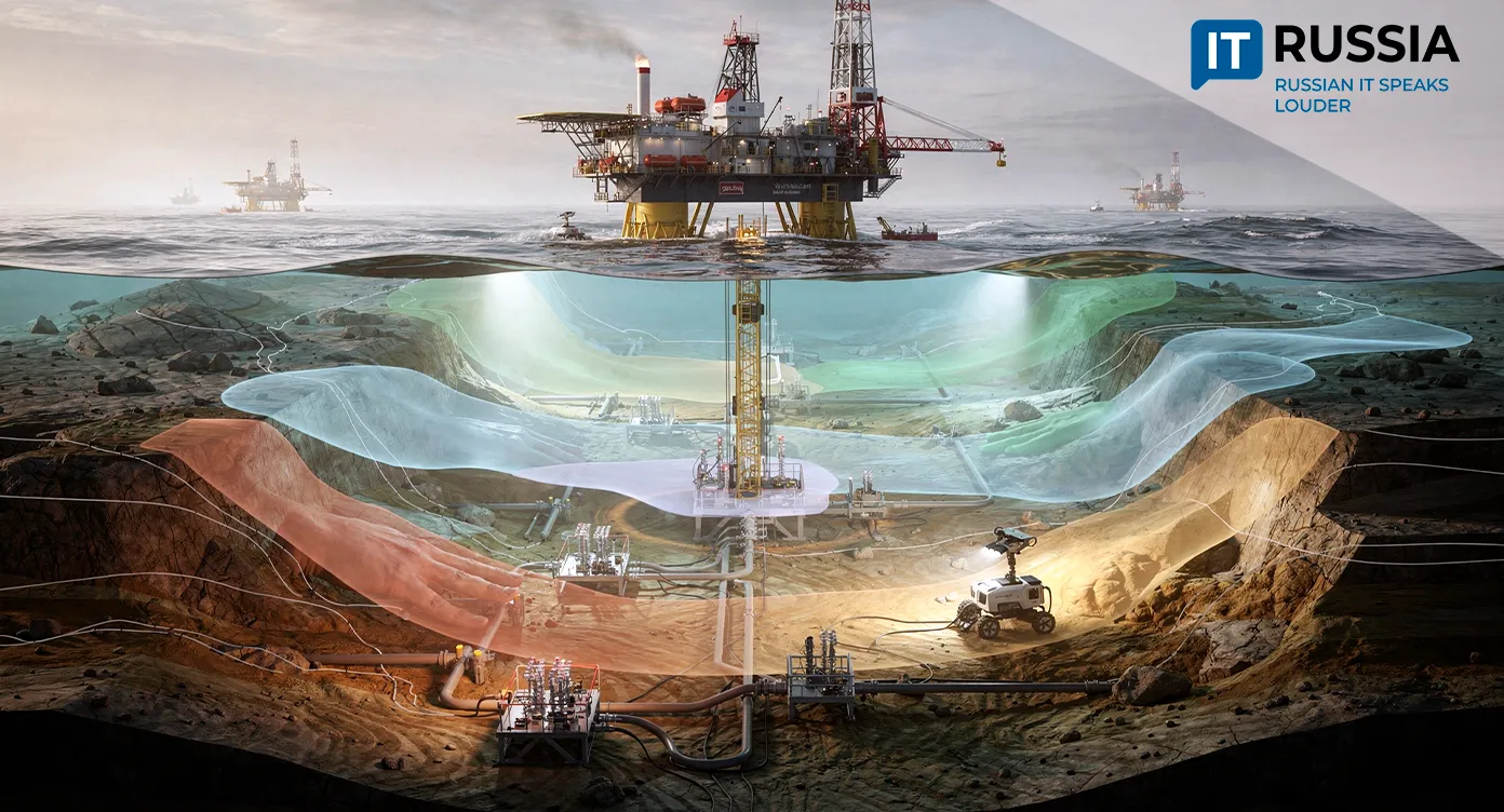
Researchers at Perm Polytechnic University have developed a 3D digital twin model of a well that predicts heat distribution during Arctic oil production with accuracy of up to 95%. The new model helps determine how to efficiently heat highly viscous oil with steam without damaging permafrost or increasing the risk of accidents.
Innopolis University has developed a platform for creating digital twins that can be configured for any city. It can manage municipal utility systems, support environmental monitoring and video surveillance, and model infrastructure loads before construction begins.
A Smarter, Safer City
The Moscow geologists’ system is a tool for predictive modeling. Data on karst risks and abandoned underground workings can be overlaid with transportation networks, utility infrastructure and development plans. A digital twin could help cities avoid past mistakes in which limited geological knowledge led to building deformation and accidents. Potentially dangerous engineering choices could be ruled out while projects are still at the concept stage.
Adapting LiDAR technology to a major metropolis with complex geology and dense development is a significant practical achievement. The system will automatically identify potentially hazardous areas. As Moscow continues to digitize city management, tools like this can help anticipate changing urban conditions and make the city safer for residents.