Russia Launches Smart System to Protect Land From Desertification
The new system uses satellite imagery and field data to forecast and counter soil degradation.
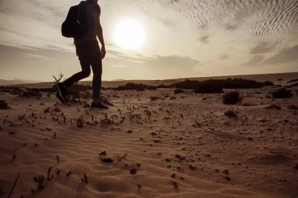
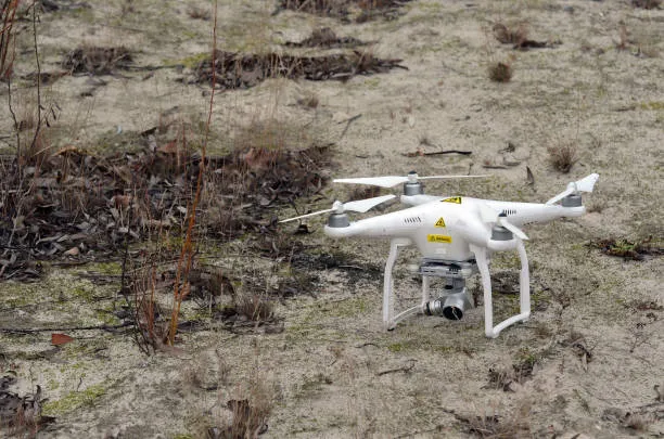
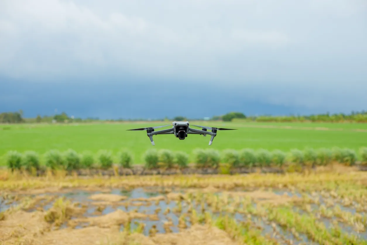
Russia has launched an information and analytics system designed to monitor land desertification. The platform processes satellite data and results from ground-based surveys, helping specialists assess risks and develop strategies to restore affected areas in arid regions. The development was reported by TASS, citing the press service of the Federal Scientific Center for Agroecology of the Russian Academy of Sciences.
Tools for Scientists
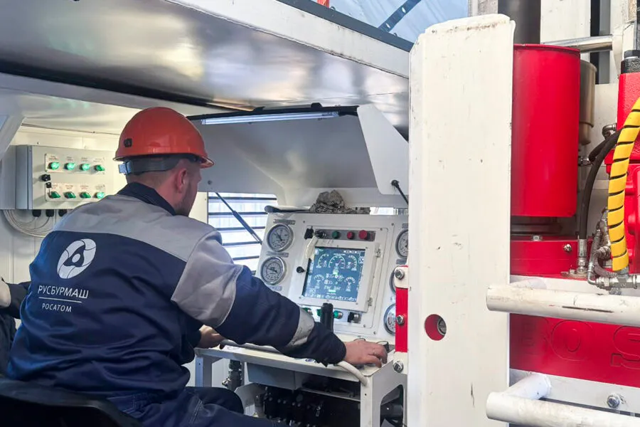
Developing a system to combat desertification was a state-level task. As a result, researchers now have tools for visualizing data, assessing the dynamics of soil degradation, and modeling different land-use scenarios.
The system integrates space-based monitoring with field research. This makes it possible to track changes in real time and generate forecasts, which is especially important for Russia’s regions with dry climates.
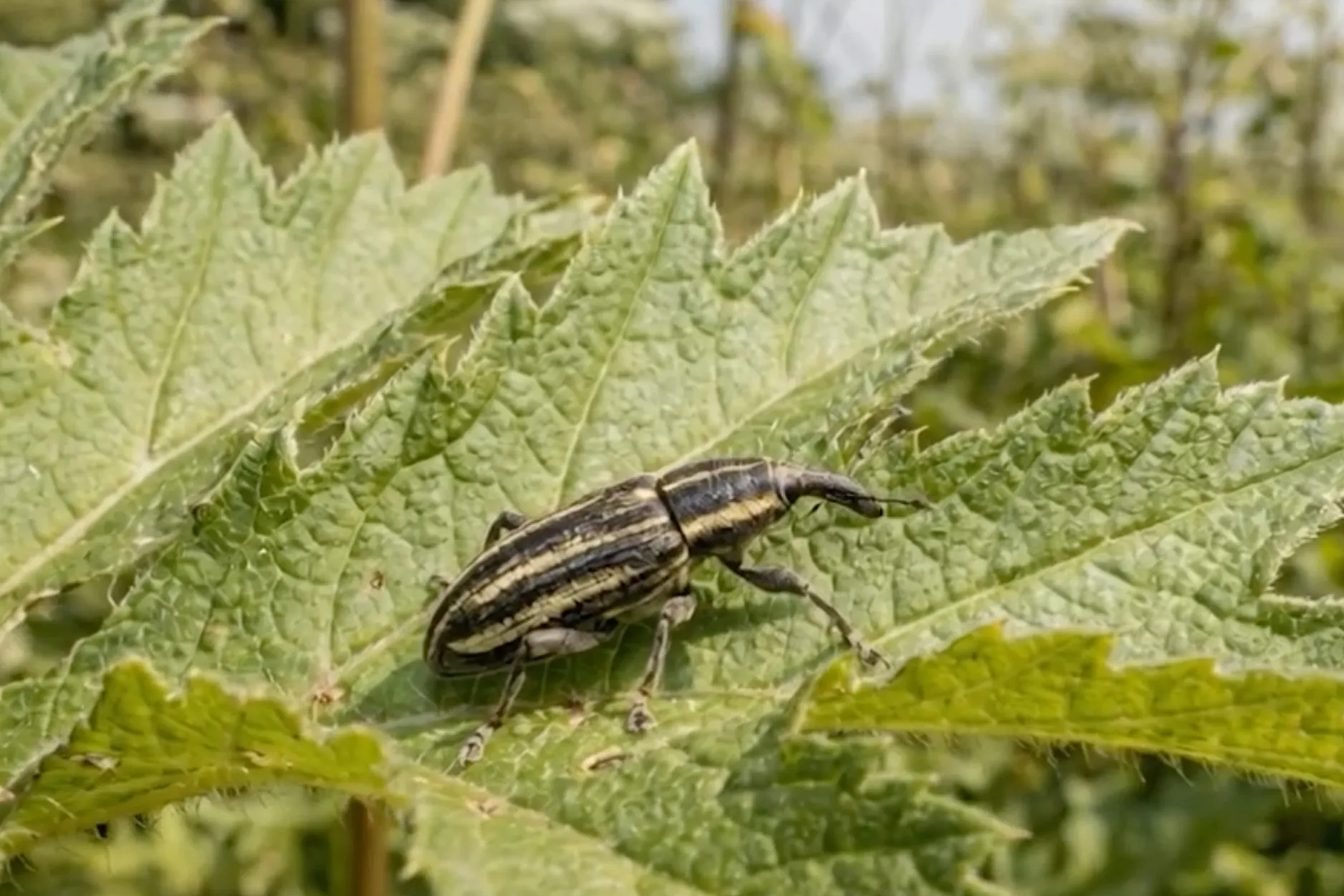
The platform is intended to optimize land use, make agriculture more sustainable, and reduce environmental risks. Through this kind of digital transformation, specialists are expected to make faster and more informed decisions when restoring degraded land.
Earlier, we reported that environmental issues are increasingly becoming part of educational programs in Russia – from schools to universities. Climate is no longer treated as an abstract problem, but as a factor shaping future professions and management decisions.