The Russian Far East Is Building a “Smart” Shield Against Forest Fires
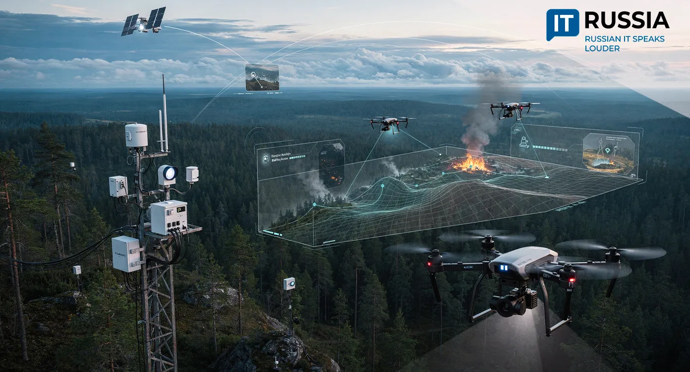
Russia’s Far East is launching development of an integrated intelligent monitoring system designed to detect wildfire hotspots within just 5 to 10 minutes and localize them within 30 to 60 minutes.
Forests in the Russian Far East account for nearly 50% of the country’s total forest area. Last year alone, the region recorded 2,353 forest fires across 4.2 million hectares. Although the number of fires fell by almost half compared with 2024, the threat remains severe.
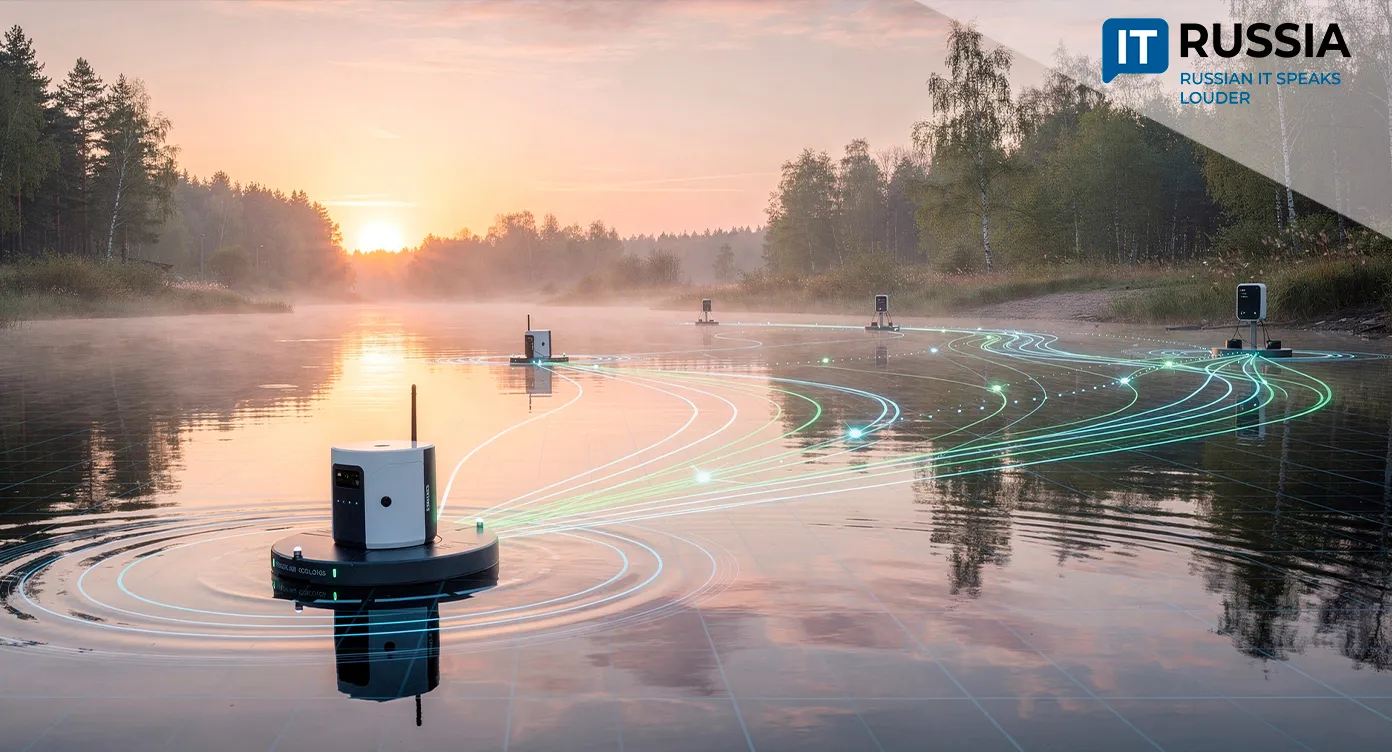
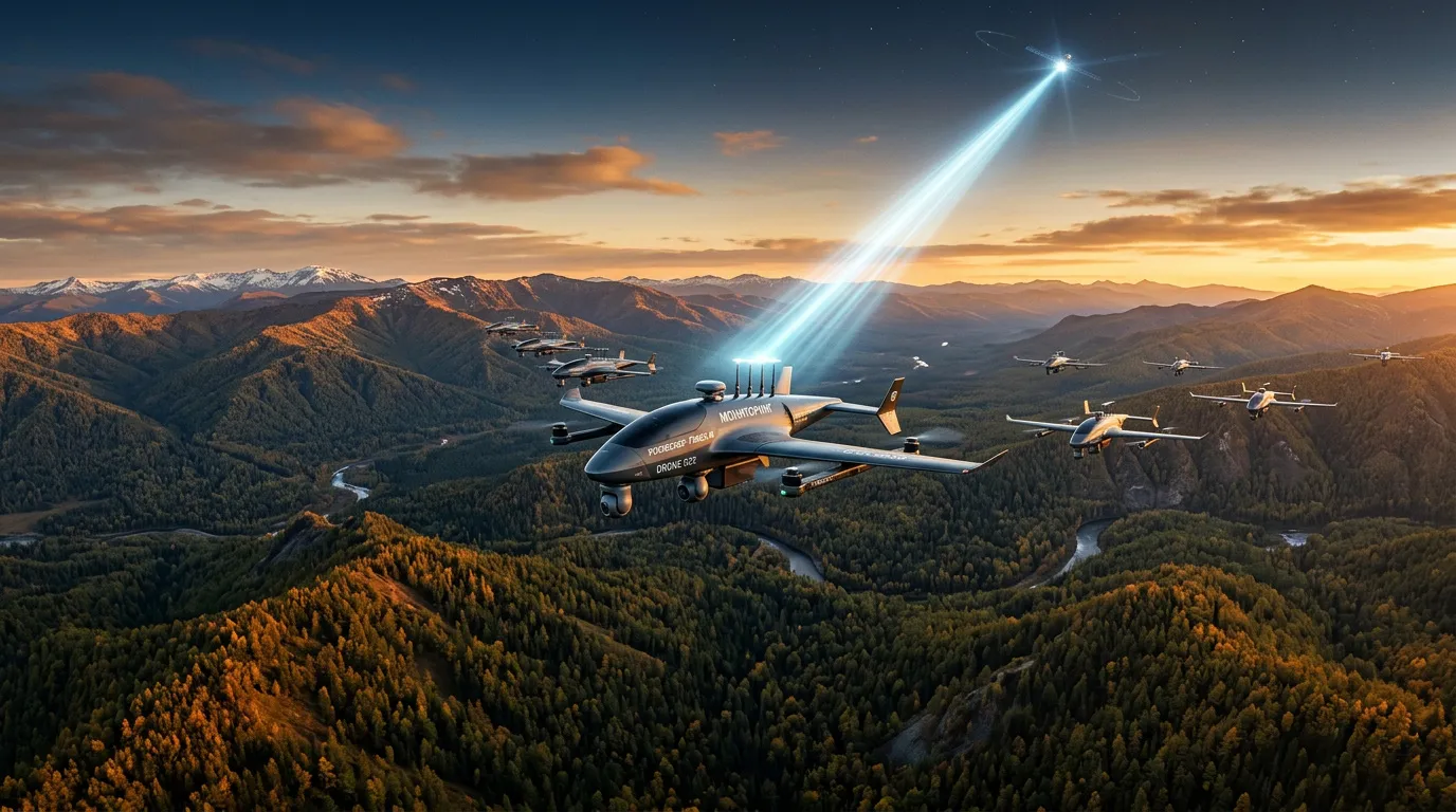
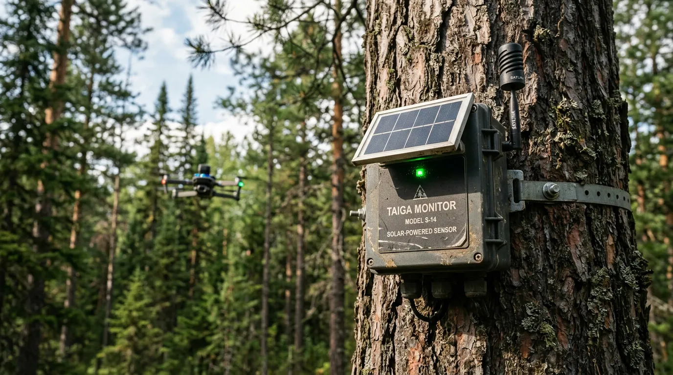
Given the region’s high wildfire risk, authorities continue deploying advanced technologies for early fire detection. A new prevention system is now being developed that will combine unmanned platforms, sensor networks, the Gonets satellite communications system, which operates within the Roskosmos structure, and artificial intelligence.
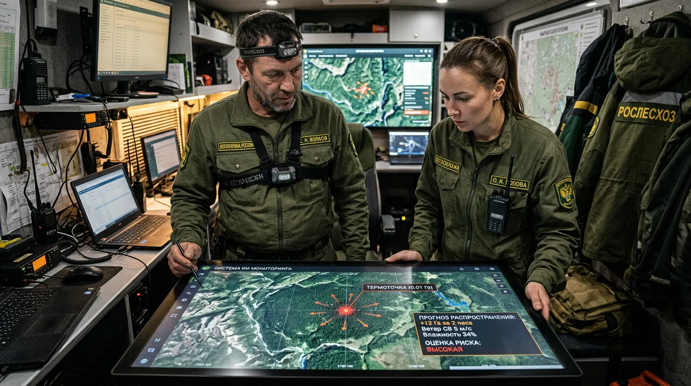
Officials at Rosleskhoz (Russian Federal Forestry Agency) have repeatedly stressed that the Far East and Siberia remain the most dangerous zones on Russia’s wildfire map. Fires often ignite in remote territories where flames can spread long before emergency crews arrive. The devices now being deployed to protect Far Eastern forests are designed to operate autonomously for extended periods without external power sources. Meanwhile, low-orbit satellites will provide stable communications channels for transmitting data.
Every Tool for One Problem
Remote monitoring of forest use already covers 300 million hectares. Of that area, 99 million hectares are under continuous observation.
“We continue expanding the territories under inspection every year. The share of continuous monitoring within the overall remote-monitoring area increased from 2% in 2016 to 33% in 2026,” said Anastasia Vinokurova, deputy head of Rosleskhoz.
ISDM-Rosleskhoz remains Russia’s primary tool for remotely detecting forest fires. Its defining feature is the integration of data from ground-based systems, aircraft, satellite observation, meteorological information and archival datasets.
With forests covering 48% of the country’s territory, Russia has long searched for more effective monitoring tools. One example is Lesookhranitel (Forest Guardian), a system that contains more than 3,300 cameras across over 70 regions. According to officials, the platform reduces the number of fires in monitored areas by at least 20%.
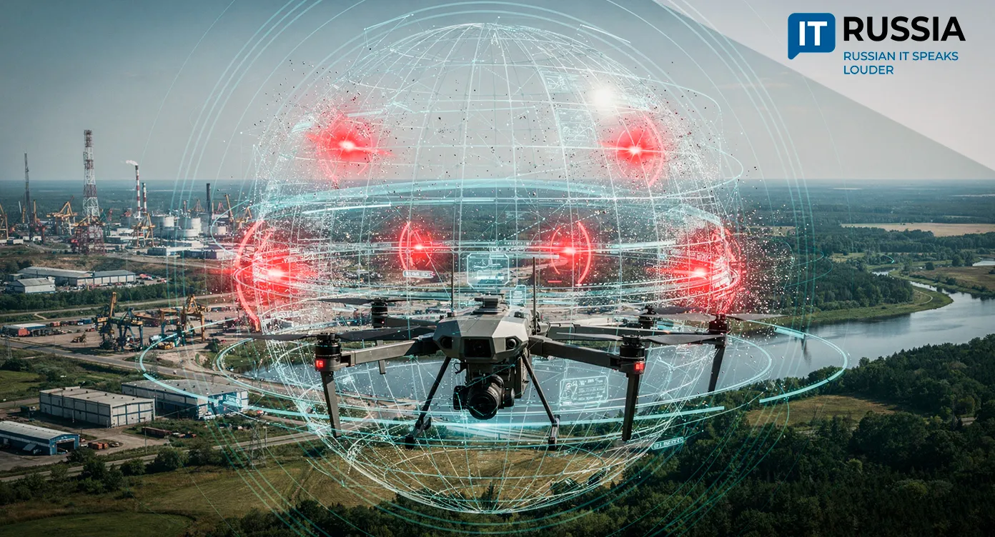
Another system, Lesnoy dozor (Forest Watch), is also being used to detect even the smallest signs of ignition. Forestry agencies in nearly every Russian region are now equipped with drones. More than 1,600 UAVs have entered forest-protection service over the past two years, and more than 5,100 drones are expected to be purchased by the end of 2030. Those UAVs are increasingly equipped with AI systems capable of identifying wildfire hotspots faster and more accurately.
Protecting the Country’s – and the Planet’s – Lungs
Across vast territories with unstable communications infrastructure, the new system could become a standard layer of forest protection. It is designed to complement the existing ISDM-Rosleskhoz satellite network with a much denser sensing layer: satellites can identify large fires, while UAVs and sensors can detect a spark before it grows into a major blaze. The platform is also intended to monitor biotic threats, allowing it to identify bark beetle infestations or forest diseases early, tasks that currently require labor-intensive manual inspection.
What distinguishes the new platform is its integrated design. A unified “organism” of drones and satellites will operate autonomously in remote wilderness environments. Earlier warnings could reduce the risk of large-scale fires and, with them, massive economic losses. Many countries face similar challenges across sparsely populated regions, giving the Russian platform potentially strong export prospects.