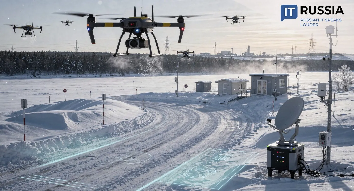
AI Steps In to Halt Desertification
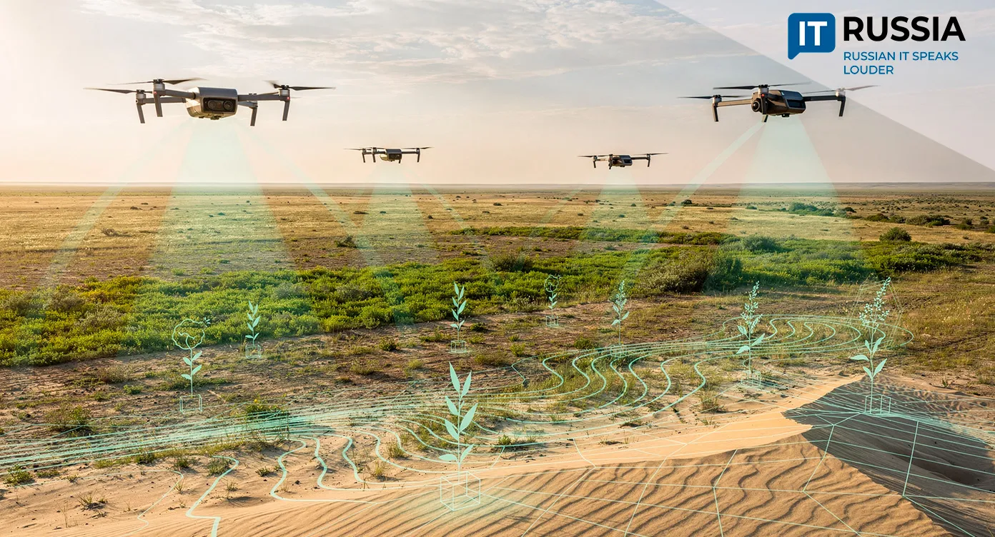
Russia has launched the Opustynivanie Monitoring (“Desertification and Its Monitoring”) information and analytics system, a digital platform designed to improve land resource management and restore degraded soils through AI-driven monitoring and satellite analysis.
Saving the Soil
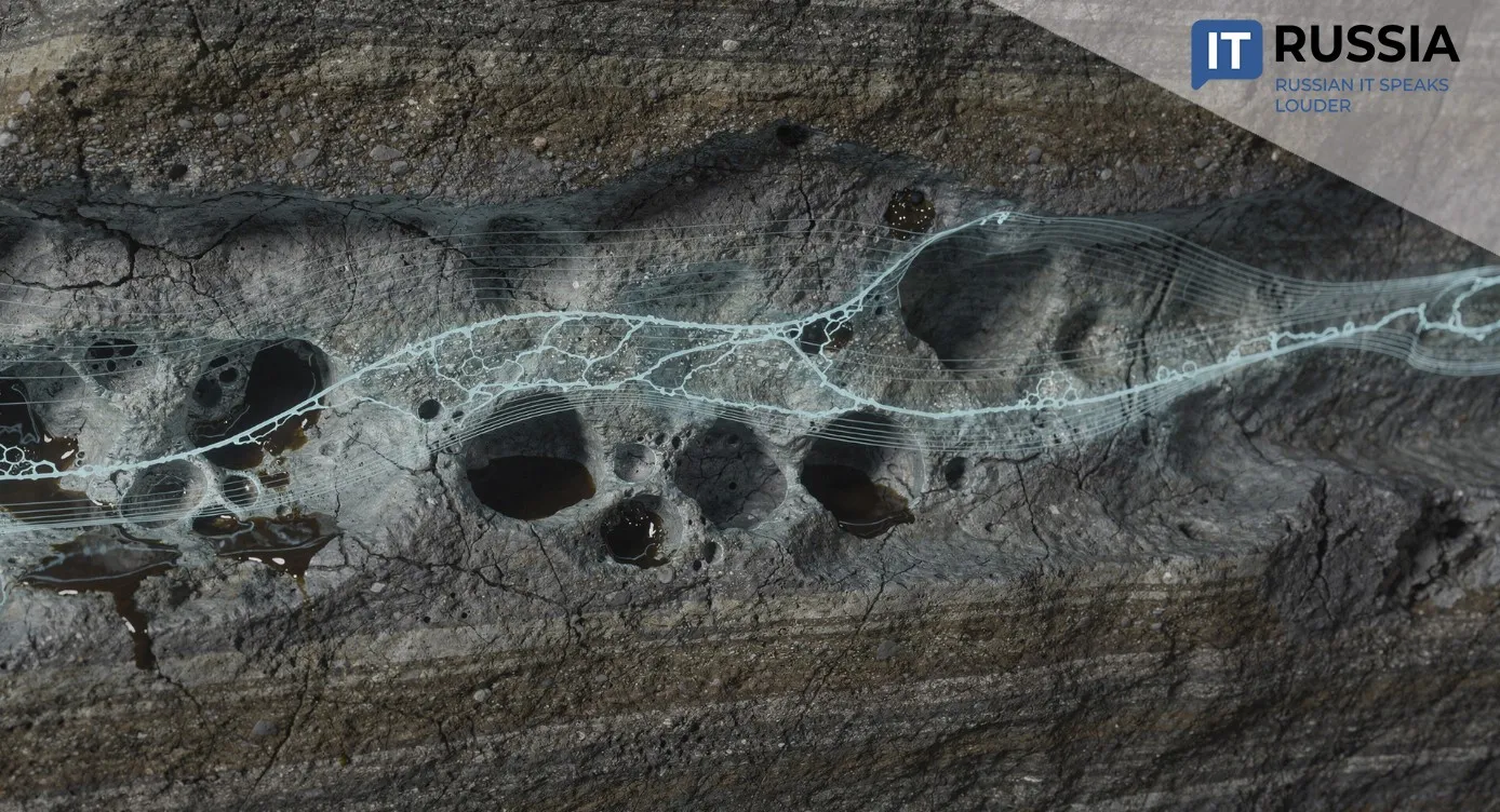
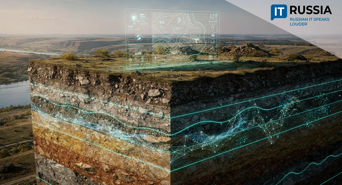
Desertification remains one of the oldest, most complex and globally significant environmental challenges. As land degrades, soil fertility declines, moisture levels drop and vegetation cover disappears. The issue affects more than 100 countries worldwide. By some estimates, up to 40% of the Earth’s land surface has already undergone degradation.
“In Russia, approximately 120 million hectares are subject to degradation and desertification – about 7% of the country’s territory,” said Anastasia Fedotova, Managing Director and Head of ESG at Sberbank.
“The regions most affected by desertification in the Russian Federation include the Republic of Kalmykia, the Rostov, Astrakhan and Volgograd regions, as well as the Republic of Dagestan. Today, desertification processes are also becoming a concern for other areas, including the Republic of Tuva and even Krasnoyarsk Krai,” noted Anna Fedotova, Doctor of Biological Sciences and Deputy Director for Research at the Federal Scientific Center of Agroecology of the Russian Academy of Sciences.
Effective monitoring and early detection are critical. The earlier signs of soil degradation are identified, the more effectively restoration measures can be designed and implemented.
To address these challenges, the Federal Scientific Center of Agroecology, Complex Land Reclamation and Protective Afforestation of the Russian Academy of Sciences was established to study and combat negative land processes.
One of the main barriers in desertification research has been the difficulty of collecting and systematizing data. Regular field surveys are conducted at designated monitoring sites, yet these datasets often include subjective factors. Developing effective mitigation strategies requires modern approaches to data aggregation, standardization and comparison.

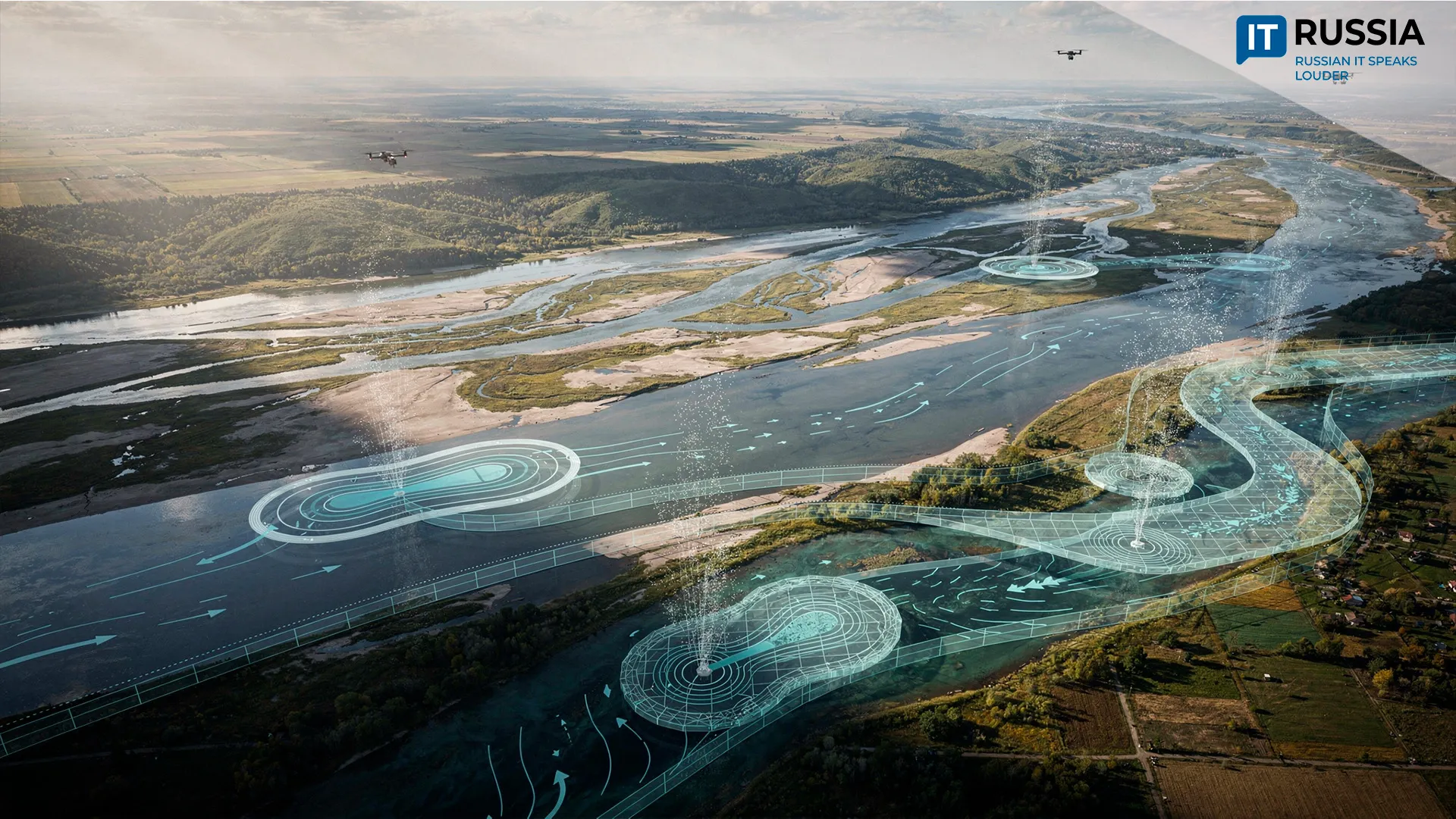
Monitoring and Geospatial Analysis
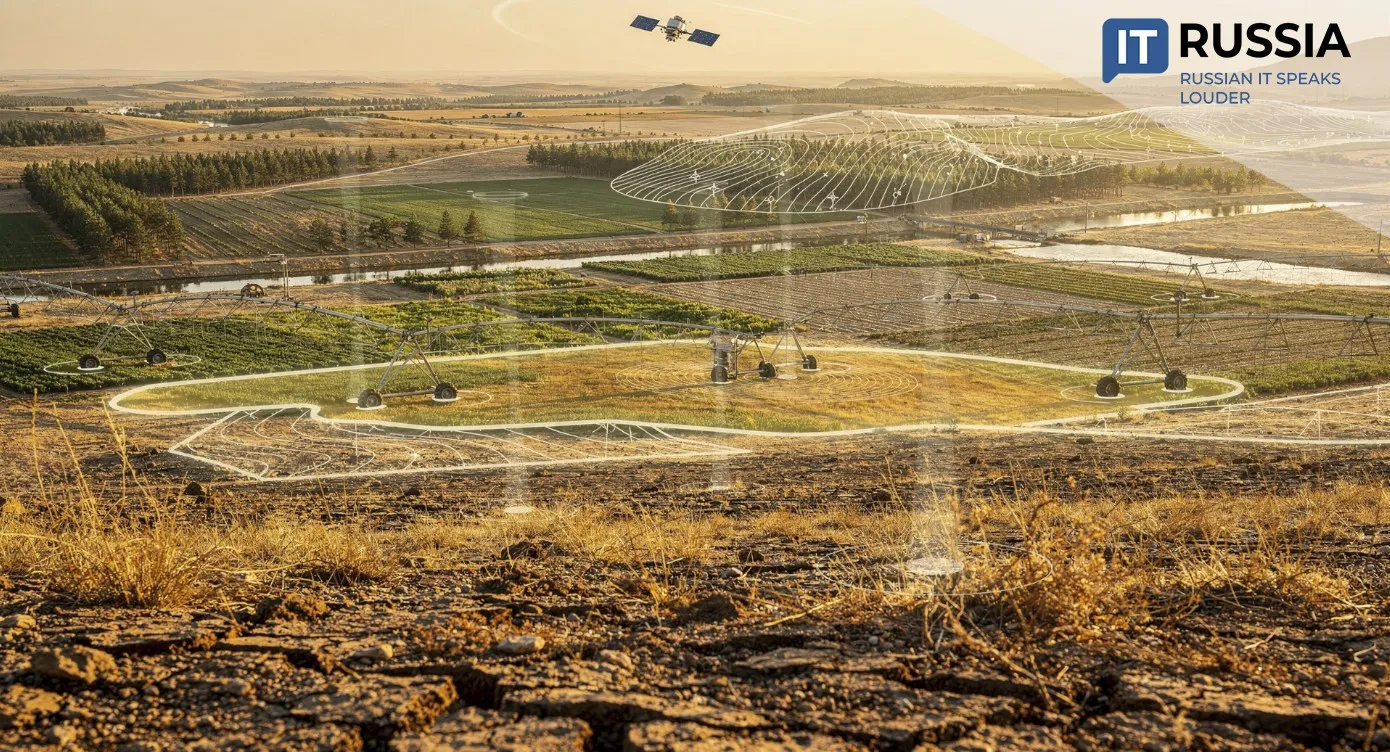
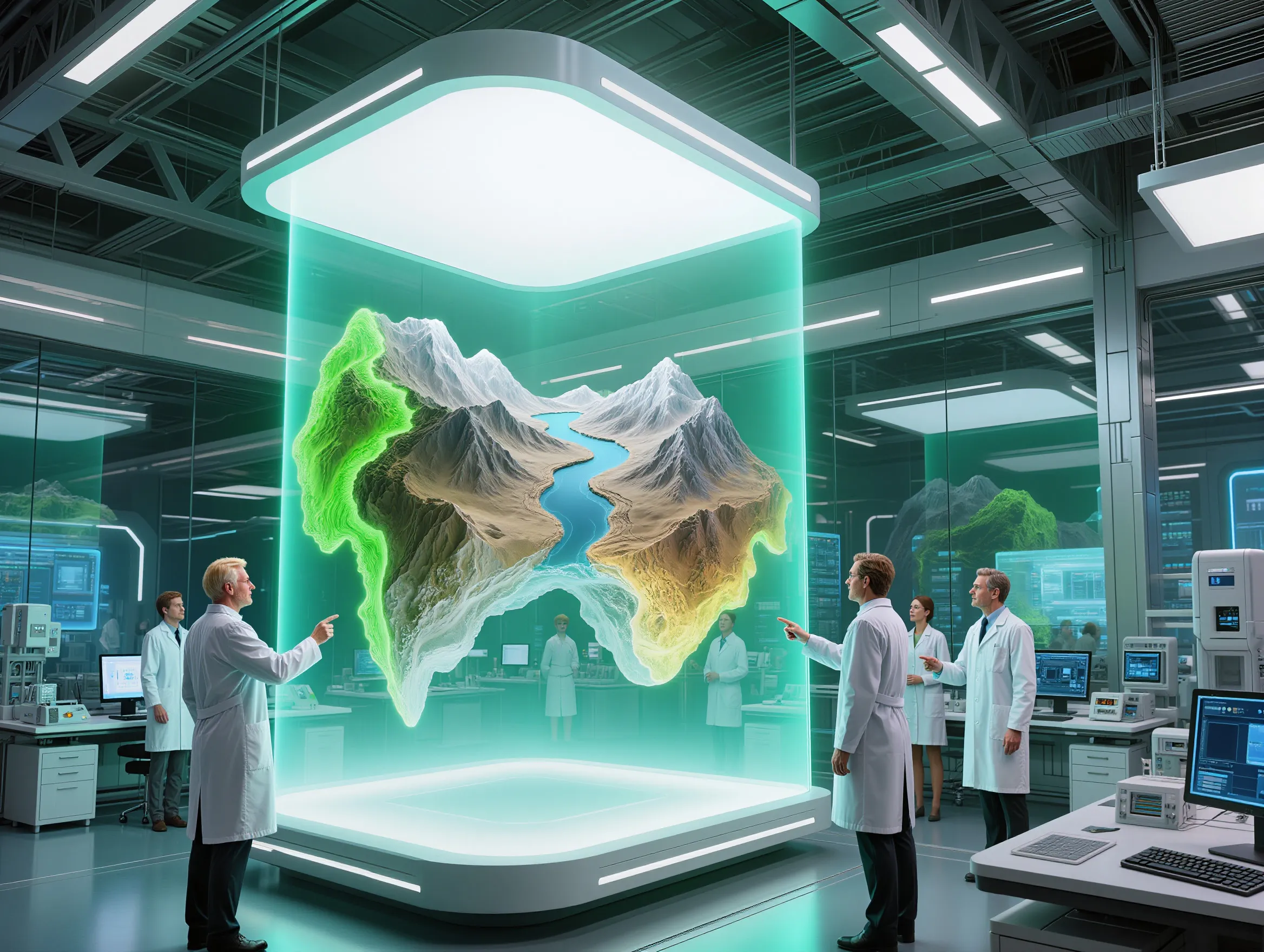
To create a robust tool for observing and analyzing desertification processes, the Federal Scientific Center of Agroecology decided to develop an information platform integrating monitoring, geospatial analytics and satellite imagery analysis. The result is the Opustynivanie Monitoring system.
The project has been developed jointly since 2022 by Terra Tech JSC, part of the Rossiyskie kosmicheskie sistemy holding of the Roscosmos State Corporation, and the Federal Scientific Center of Agroecology. The system was officially launched in 2026.
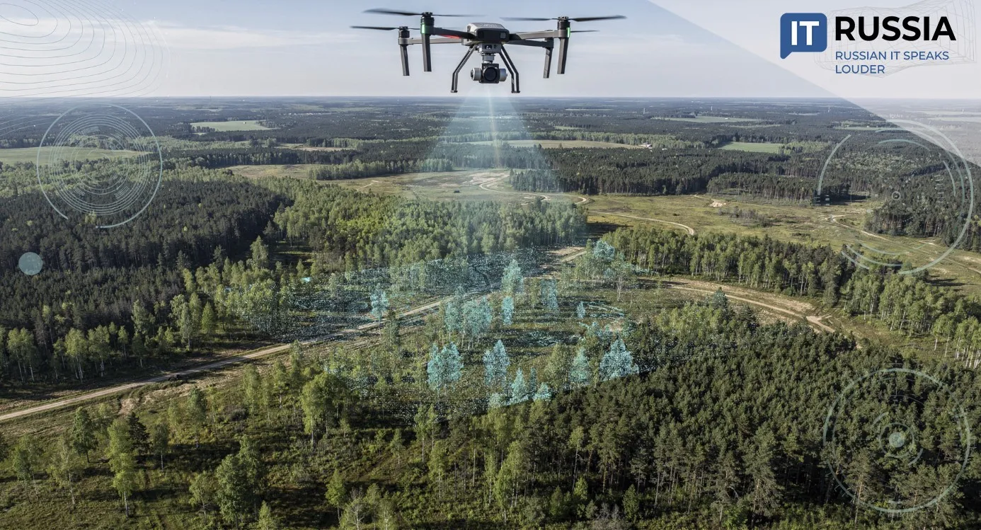
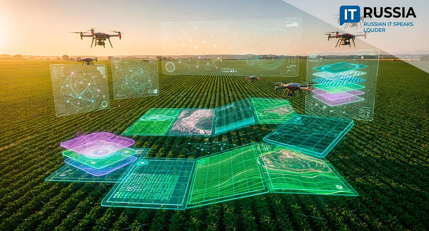
The platform aggregates satellite imagery and field research data, applying automated recognition based on U-Net neural network architecture. AI algorithms developed by Terra Tech process satellite images to reflect the actual condition of territories and land assets. The system identifies both natural and anthropogenic processes affecting the environment. It then performs analysis and visualization of land condition changes.
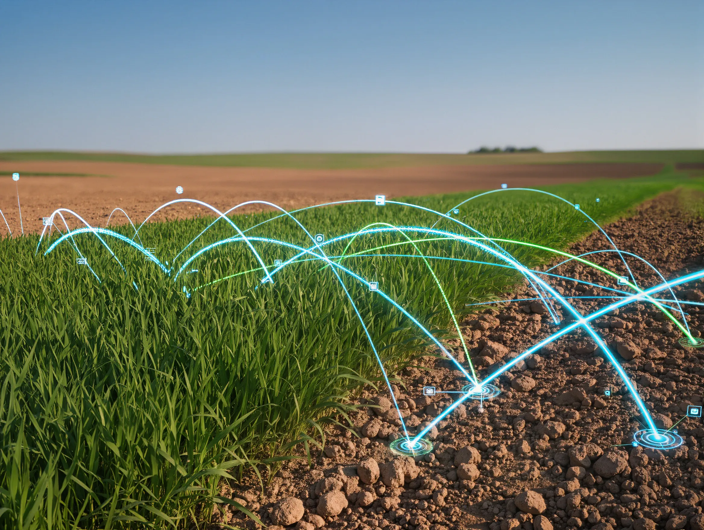
When generating desertification maps, the algorithm compares time-series satellite images and conducts spatial and temporal correlation of processes detected by the neural network. Recognition results are supplemented with analytical data derived from index-based imagery, cadastral materials and field reference data. Ultimately, the platform models soil and land dynamics over time. It enables collection, integration and comparison of information across vast territories over decades, while significantly reducing labor intensity in data gathering, processing and analysis.
Access to the Opustynivanie Monitoring system is managed by the Federal Scientific Center of Agroecology.
Preventive Analytics for a Global Challenge
The significance of the new platform is substantial. It enables higher-quality monitoring and analysis of arid regions in Russia and supports predictive analytics to anticipate risks to fertile land. This makes it possible to implement preventive measures or launch early interventions in regions at risk.
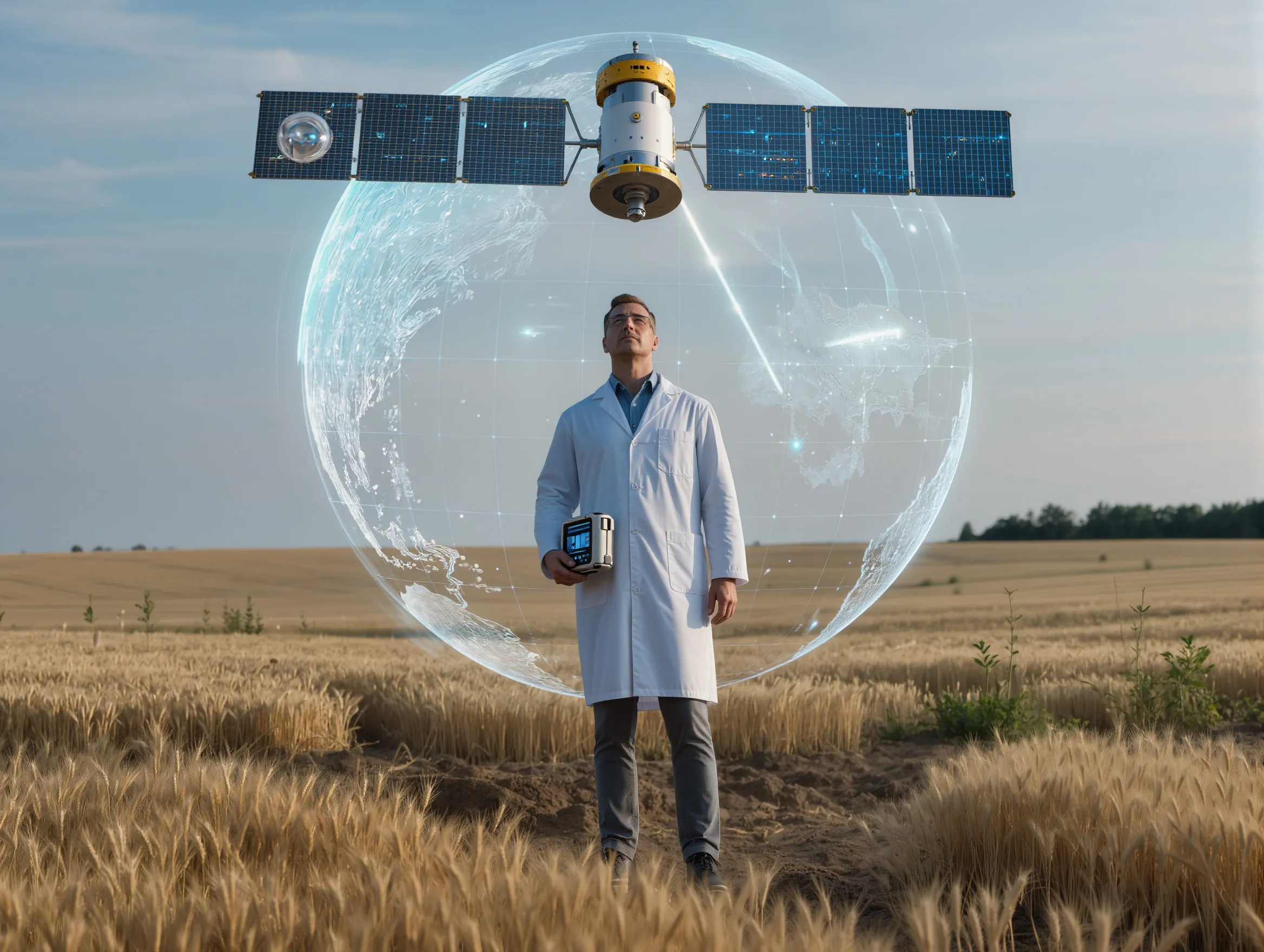
The scientific community also gains a valuable tool. Visualization of landscape change combined with AI analytics strengthens soil science research capabilities. It improves decision-making quality in agroecology and land management, directly supporting the development of Russian crop production and sustainable farming systems.
The Opustynivanie Monitoring system also has strong export potential. Russia’s extensive satellite constellation provides the capacity for deep soil and land analytics across virtually any territory worldwide. The platform could be integrated into international initiatives addressing desertification, climate adaptation and sustainable land use, including United Nations programs aimed at combating land degradation.