

River Depth Monitoring in Russia Enters the Digital Era
Russia's Federal Agency for Maritime and River Transport (Rosmorrechflot) is launching an independent digital audit system for dredging operations, a project that could reshape how channel depths are monitored across the country's vast inland waterway network.
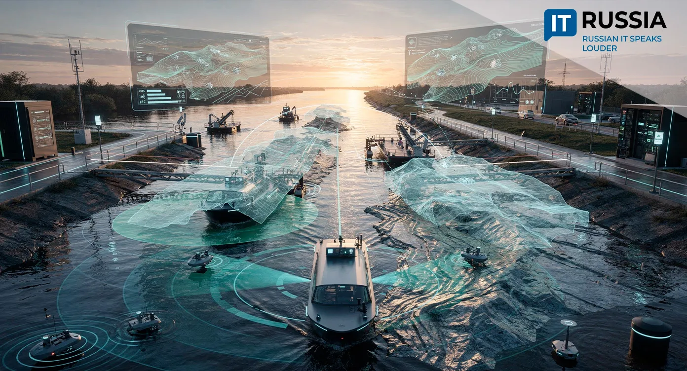
The project is being administered by Rechvodput (River Waterways Authority), with methodology development involving leading transportation universities, including the Russian University of Transport, Admiral Makarov State University of Maritime and Inland Shipping, and the Siberian and Volga State Universities of Water Transport. The initiative goes beyond introducing new technology. Its objective is to establish an objective, repeatable, and verifiable method for assessing both the quality and the volume of dredging work.
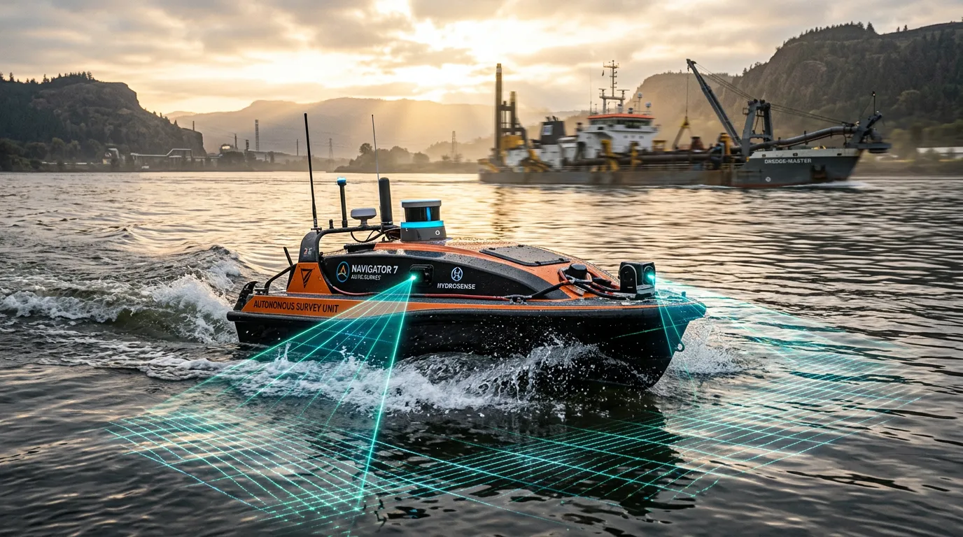
During field trials, engineering teams are comparing conventional riverbed surveys with data collected by uncrewed survey vessels. A pilot project on the Oka River evaluated measurement accuracy, survey duration, labor requirements, and fuel consumption. Those metrics are expected to form the basis of a unified digital audit methodology. While the project is focused on the inland waterway sector, its broader impact could be significant. Russia has the world's second-largest inland waterway network, spanning approximately 101,500 kilometers. In 2025, those waterways carried more than 90.6 million tonnes of cargo, including nearly 14.2 million tonnes of essential freight delivered to northern regions. As a result, dredging quality directly affects river and canal capacity, navigational safety, and supply chains serving remote communities.
From Pilot Project to National Standard
Once testing is complete, the results are expected to support the development of technical recommendations, updated operating regulations, and a regulatory framework for dredging and hydrographic operations. Looking ahead, the independent audit system could be expanded across Russia's inland waterway basins, bringing data together within a unified digital environment. That would allow the system to interact with monitoring technologies already in use, including AIS transponders, three-dimensional positioning systems, electronic navigational charts, and digital dredge monitoring platforms. In practice, operators would be able to compare design specifications, actual dredging performance, and the final hydrographic survey results within a single workflow.
Future development calls for applying artificial intelligence to process bathymetric survey data, automatically identify deviations, and generate three-dimensional bottom-relief models. Russia's Federal Agency for Water Resources (Rosvodresursy) already views this approach as one of the principal directions for digitalizing the country's water management sector.
The Path Toward Uncrewed Survey Vessels
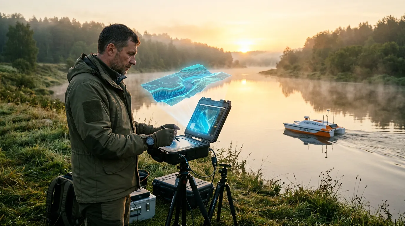
The idea of using uncrewed platforms for hydrographic surveys is not new, but it is now advancing to the level of a national methodology. In 2023, students at Southern Federal University developed an uncrewed survey vessel for hydroacoustic studies in shallow-water areas, with trials conducted in Taganrog Bay. In 2024, Kingisepp Machine Building Plant introduced its own modular hydrographic uncrewed survey vessel featuring an automated operator workstation and a transport-command module.
By 2025, AIS transponders, three-dimensional positioning systems, and electronic navigational charts were being used more extensively on Russia's inland waterways to monitor technical support fleets. During the same period, discussions began on establishing independent inspection teams. In 2026, Rosvodresursy formally identified uncrewed hydrographic systems and AI-based processing of survey data as priority areas for digital transformation of the water management sector. The Rosmorrechflot project builds directly on that foundation by moving individual technological developments into routine government oversight.
How Digital Depth Monitoring Could Change Operations
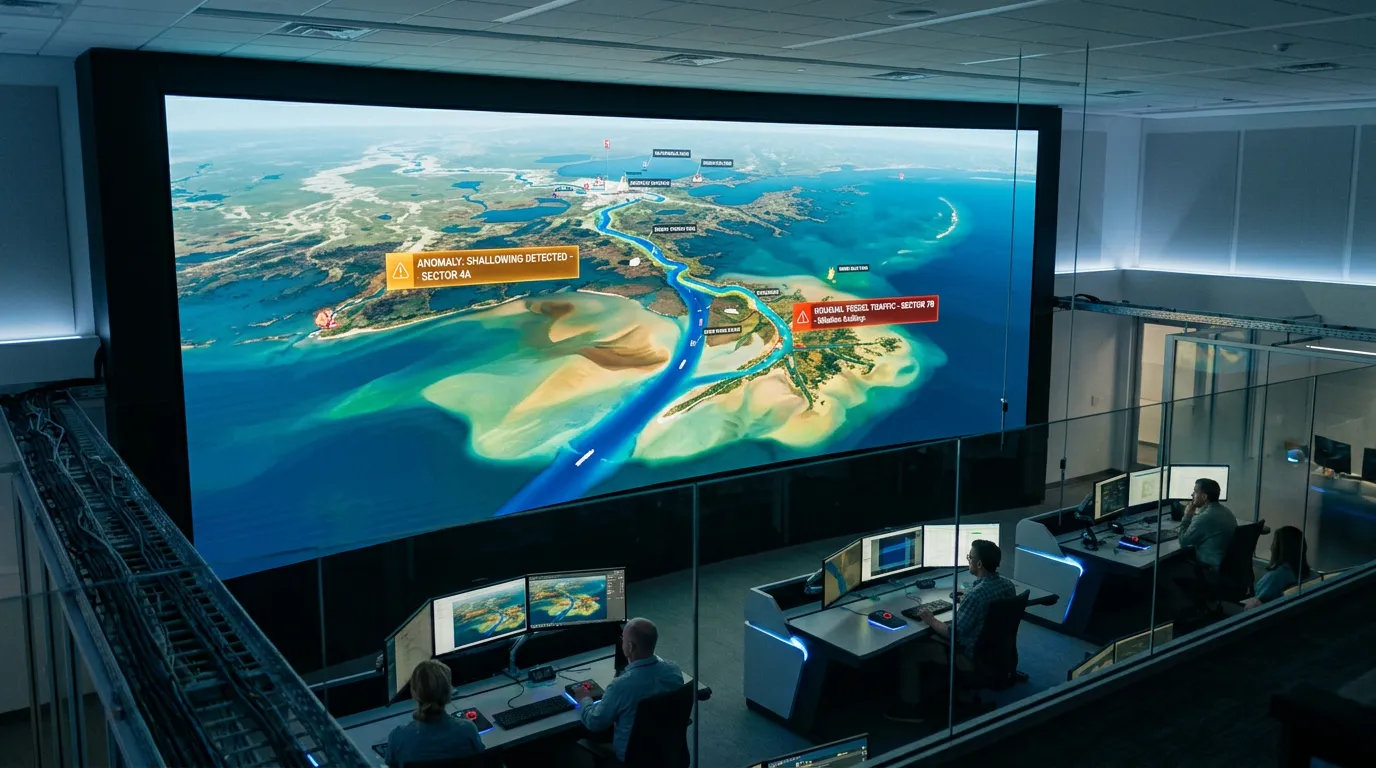
The project's primary value lies not in the uncrewed survey vessels themselves, but in creating a unified digital methodology for independently verifying the volume and quality of dredging work. If measurement accuracy is confirmed, the technology could eventually be deployed across Russia's entire inland waterway network, while data analysis could become largely automated. Even so, its full impact on the river transportation sector will depend on digital auditing becoming a mandatory element of oversight rather than remaining an auxiliary pilot initiative.
In that sense, the Rosmorrechflot project represents an effort to shift channel-depth verification away from subjective assessments and toward objective, transparent, and reproducible data. If successful, it could make Russia's rivers not only deeper, but also more predictable and efficient for vessels, freight operators, and transportation authorities.