

AI Could Help Save the Caspian Sea
The Caspian Sea is a unique body of water that holds about 90 percent of the world’s sturgeon stocks. But today, its ecosystem and fish populations are under pressure from a range of factors, from poaching to climate change. Scientists believe a digital twin of the Caspian Sea’s fisheries resources could help protect this natural treasure.
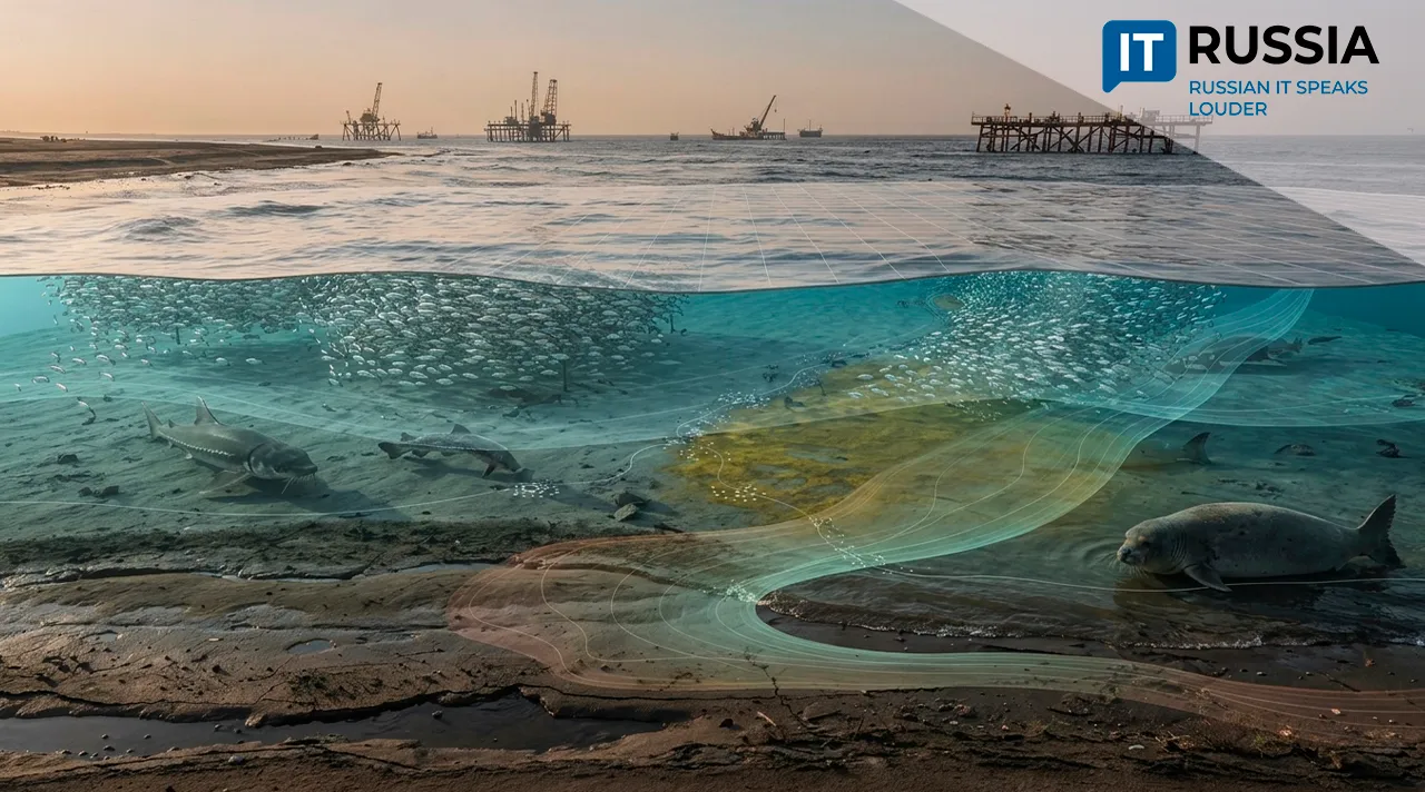
The initiative was presented at the “Caspian Without Borders: Science, Ecology and Digital Technologies for the Fisheries Industry” roundtable held as part of the International Fisheries Forum. The idea is to create a computer model that brings together data on populations of sturgeon, sprat and other fish species, along with information on environmental conditions and fishing activity. The AI-powered virtual model will forecast the state of these resources.
The Sea Inside a Computer
Over the past 30 years, the Caspian Sea has lost nearly 24,000 square kilometers of surface area, while its water level has fallen by two meters. The resulting shallowing is making conditions for natural fish reproduction more difficult. The blackspine herring and Caspian roach are among the species at particular risk. In 1990, for example, the catch of Caspian roach was nearly 18,000 metric tons, compared with just 300 metric tons in 2024. Scientists also forecast a possible decline in stocks of Caspian sprat, the sea’s most abundant fish species. Populations of pike-perch, pike and catfish are also expected to fall as they lose their food sources. Uncontrolled fishing makes the problem worse, and some fish species could disappear as a result.
A project to create a digital twin of the Caspian Sea was announced last year and is due to be completed by the end of this year. Using the virtual model, specialists will be able to see what is happening in the sea in real time and forecast the consequences of changes caused by natural phenomena or human activity. The digital twin could help not only with rapid responses to environmental threats such as oil spills or algal blooms, but also take fishing, shipping and conservation efforts to a new level.
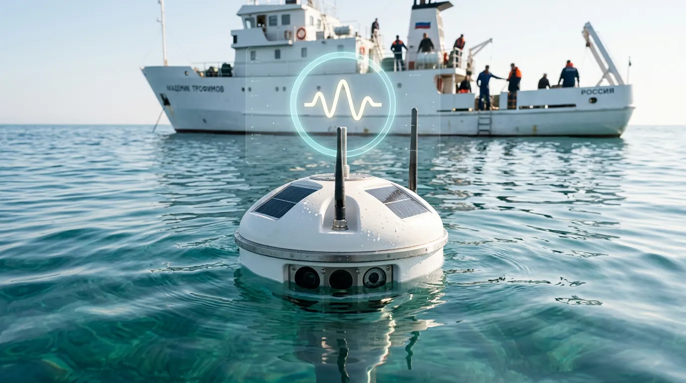
Scientists will track shallowing, changes in water temperature and algal blooms using satellite imagery. They will supplement that data with information from field expeditions and laboratory analyses. Drones are already being used to count Caspian seals and monitor illegal fishing, while AI is used to analyze the video they capture.
The key is that machine-learning algorithms can identify patterns and build predictive mathematical models. That makes it possible to do more than monitor the sea – researchers can also play out different scenarios. For example, they can examine how changes in fishing activity could affect sturgeon populations several years from now, or how construction of a new facility could affect water levels.
From the Volga to Lake Baikal
Russia’s bodies of water are gradually moving into the digital realm. In 2023, researchers developed a concept for a digital twin of the Volga, while projects aimed at protecting Lake Baikal got underway in 2024 and 2025. Scientists from 16 Russian research institutes are working on a large-scale model that will make it possible to forecast ecosystem changes and test protective measures, including ways to shield the lake from mudflows. The Selenga River is also being “cloned.” Its basin supplies nearly half of all water flowing into Lake Baikal, so any changes to the river channel affect the lake’s condition. The data collected will form the basis of models designed to forecast changes in river discharge through 2040.
The Amur River and its tributaries are also on the digital map. Its digital twin visualizes and models flood scenarios based on numerous factors, including precipitation, snow and ice melt, and soil conditions. The model can help authorities start protective measures in time while also strengthening oversight of water-protection zones by tracking illegal activity and assessing the risk of environmental degradation.
River, lake and marine ecosystems are changing, and fishing practices have to adapt to those new conditions. Last year, for example, the use of modern fishing gear such as trawls designed to operate at different depths increased the sprat catch by 755 metric tons, bringing it to 26,200 metric tons. The digital Lotsiya service can also indicate where and what fish to catch and identify the most promising fishing grounds. It was developed by the Center for Fisheries Monitoring and Communications. Trained on historical catch data, the model compares current conditions with successful fishing situations from previous years and identifies areas where fishing crews should search first.
One Digital Twin for Five Countries
Roshydromet provides a long-term observation database covering Russia’s seas, including real-time maps of sea-surface temperatures and ice conditions. In 2023 and 2024, the Ministry of Economic Development deployed 254 test sites as part of efforts to establish a national climate monitoring system. By 2030, that number is expected to reach 1,317. Russia is also developing unified platforms for managing water bodies that combine satellite monitoring, sensor data and AI algorithms.
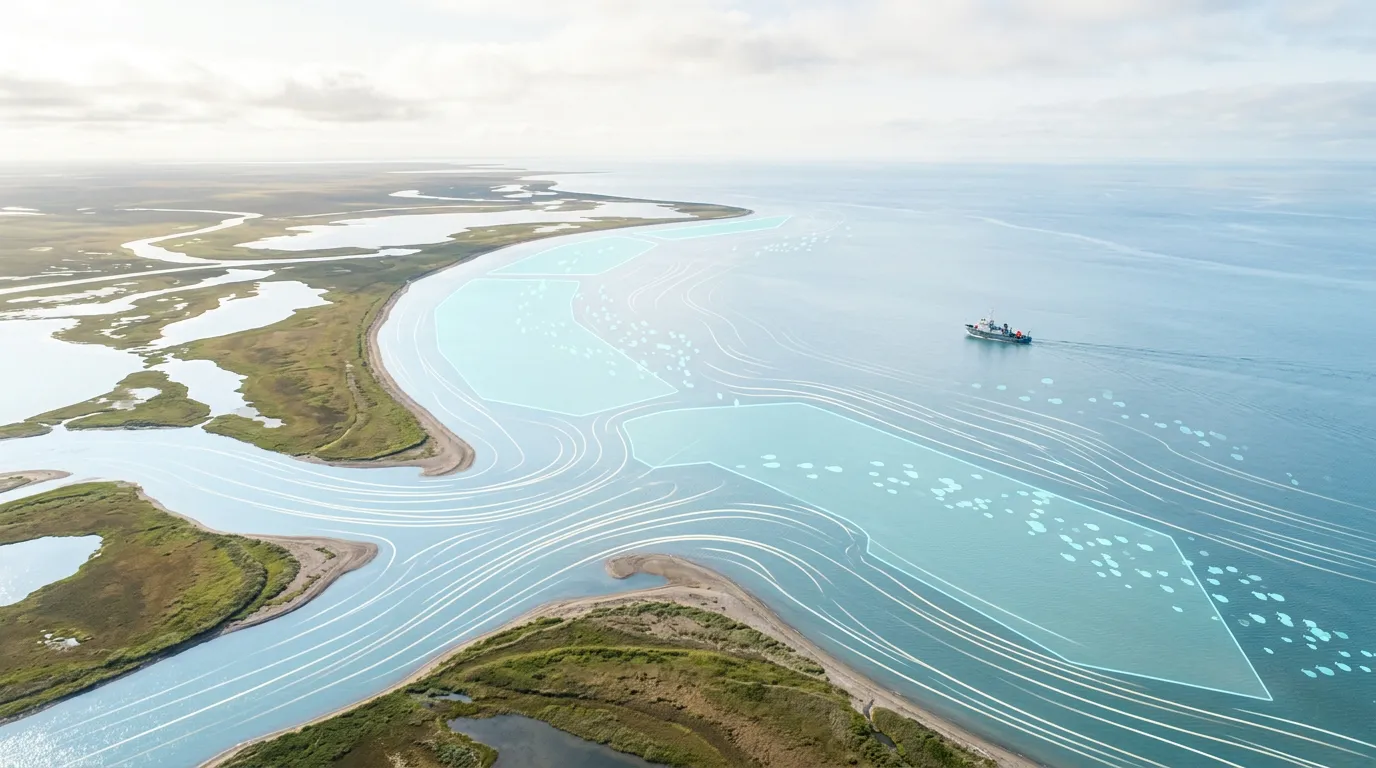
Five countries fish in the Caspian Sea, making a digital twin particularly important because it can help them coordinate decisions using a shared model rather than fragmented national datasets. It could help identify pollution sources and temperature anomalies more quickly and, in turn, help preserve commercially important fish species and maintain stable operations across the fishing industry.