Farming from Space: Russian Satellite Data Boosts Yields in Friendly Nations
As global agriculture faces increasing pressure, Russian space technologies are enabling real-time decision-making on farms across Eurasia, improving yields, conserving water, and enhancing climate resilience.
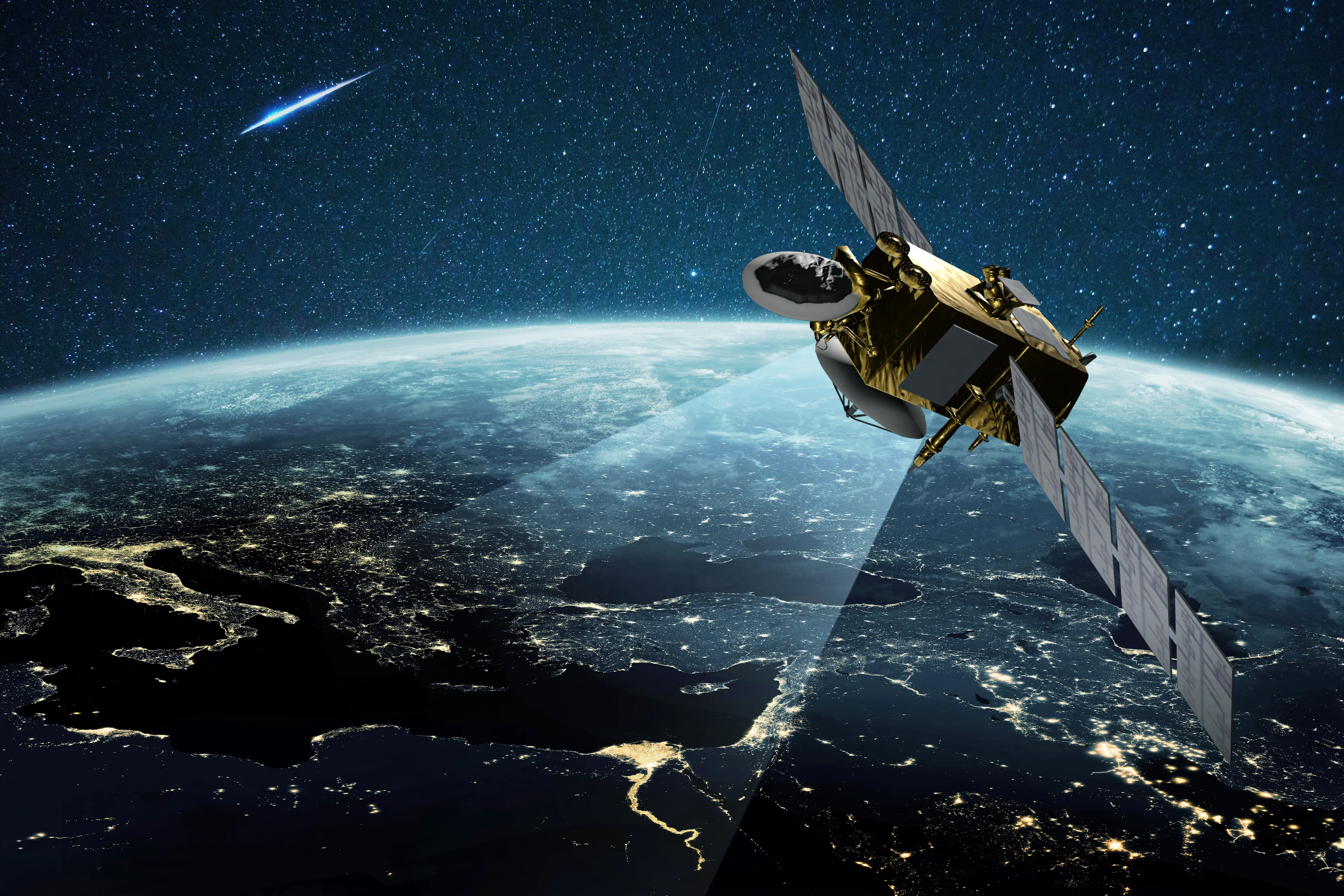
Satellite Eyes on the Field
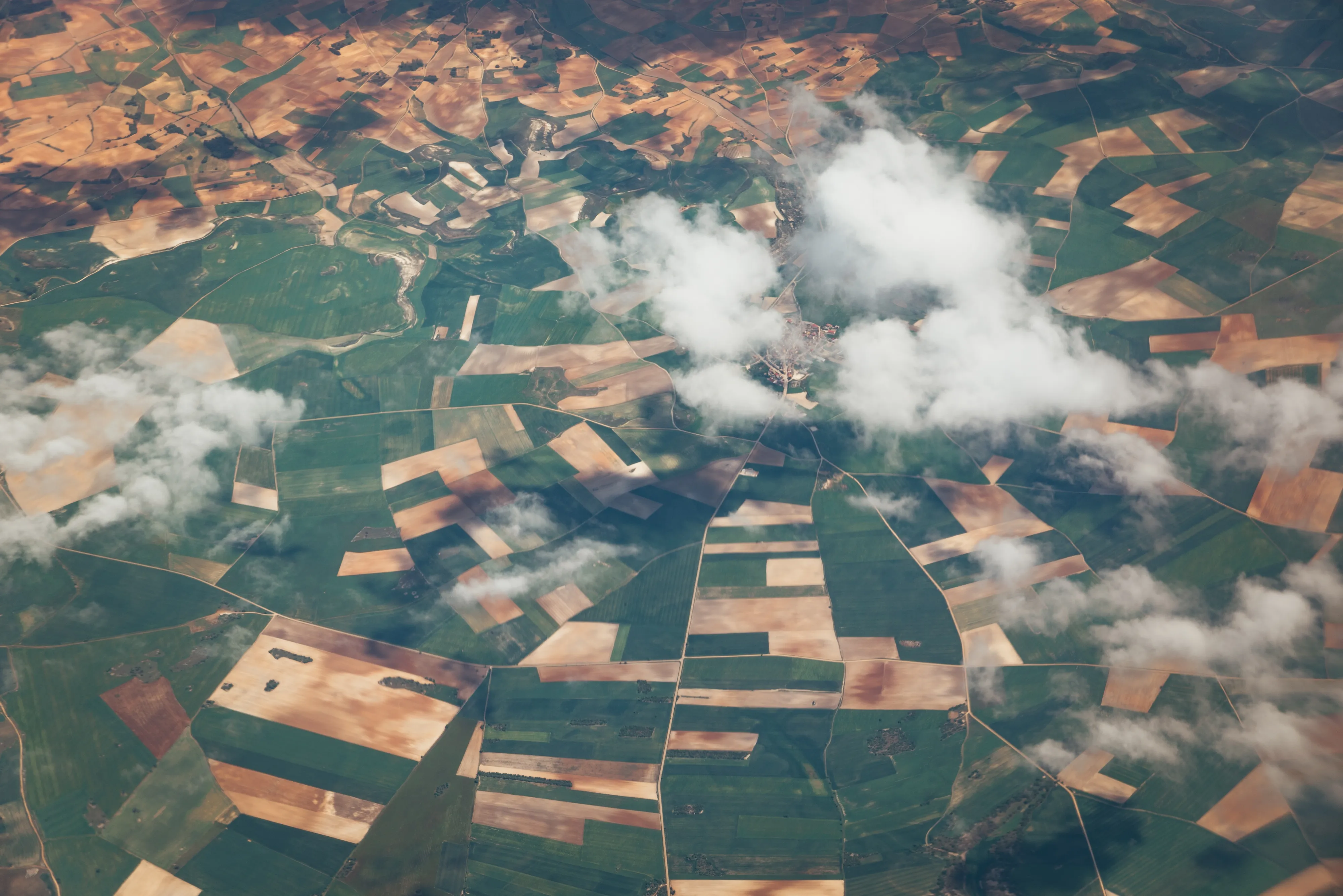
Russia’s Earth observation satellites have become a critical tool for digital agriculture. Using spectral analysis, farmers gain insights into soil composition, nutrient levels, and moisture distribution. These readings support more targeted fertilizer application and water usage, while helping identify plant stress, pest outbreaks, and disease early.
Meteorological satellites provide precise weather forecasts, allowing growers to plan seasonal operations, mitigate risks, and improve interactions with insurance providers. By monitoring soil health and land degradation, satellite-based data supports long-term sustainability in agricultural ecosystems.
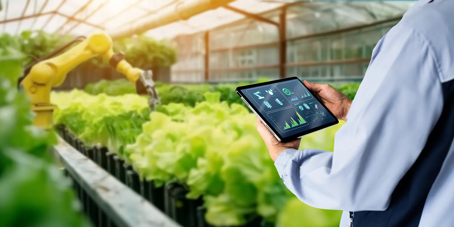
Precision Imaging with 30cm Resolution
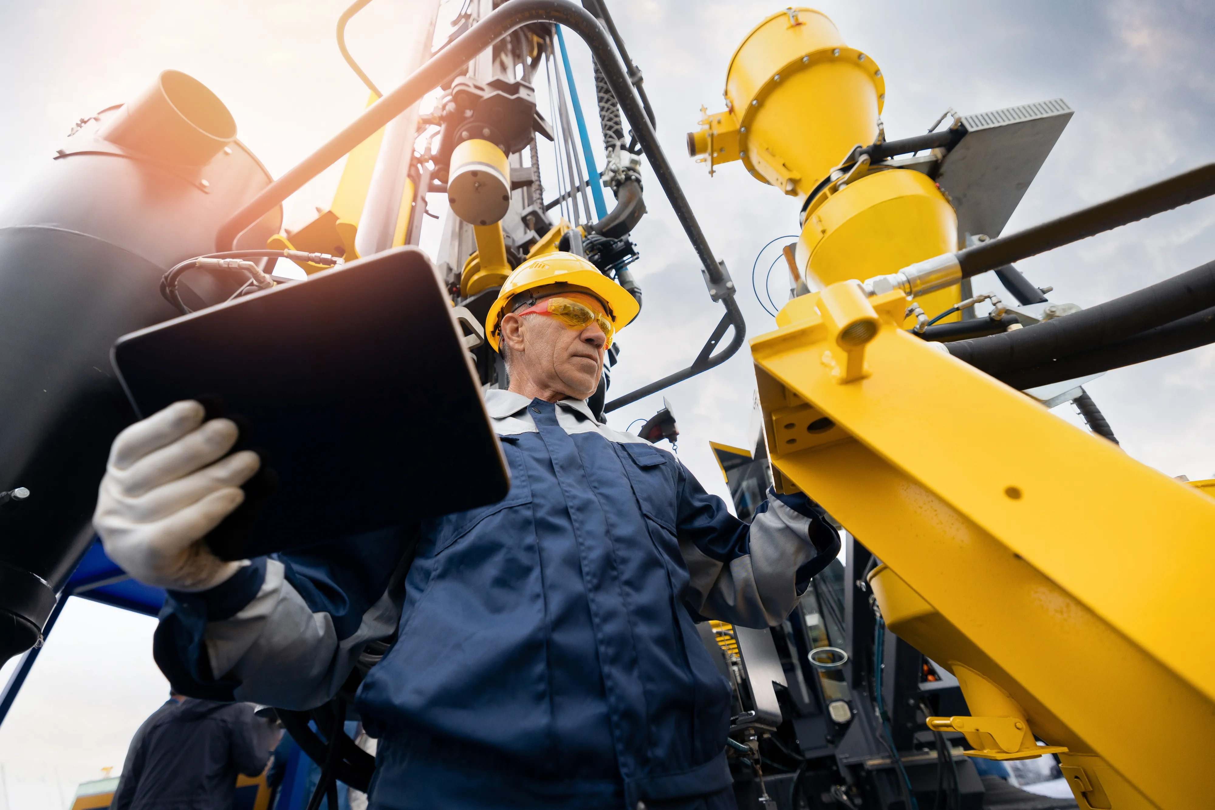
Russia, a global leader in aerospace, offers turnkey solutions for agtech clients—from high-resolution space imagery to business intelligence reports integrated with ERP systems.
Proxima, a certified provider of remote sensing data, delivers imagery from optical, hyperspectral, and radar satellites with up to 30-centimeter resolution. ScanEx, a leader in Earth observation, offers its CosmosAgro service for continuous crop condition monitoring and real-time detection of adverse events. Meanwhile, InfoBiS helps farms optimize planting and harvesting using real-time field control tools.
These services form the digital backbone of precision agriculture strategies in regions lacking ground infrastructure.
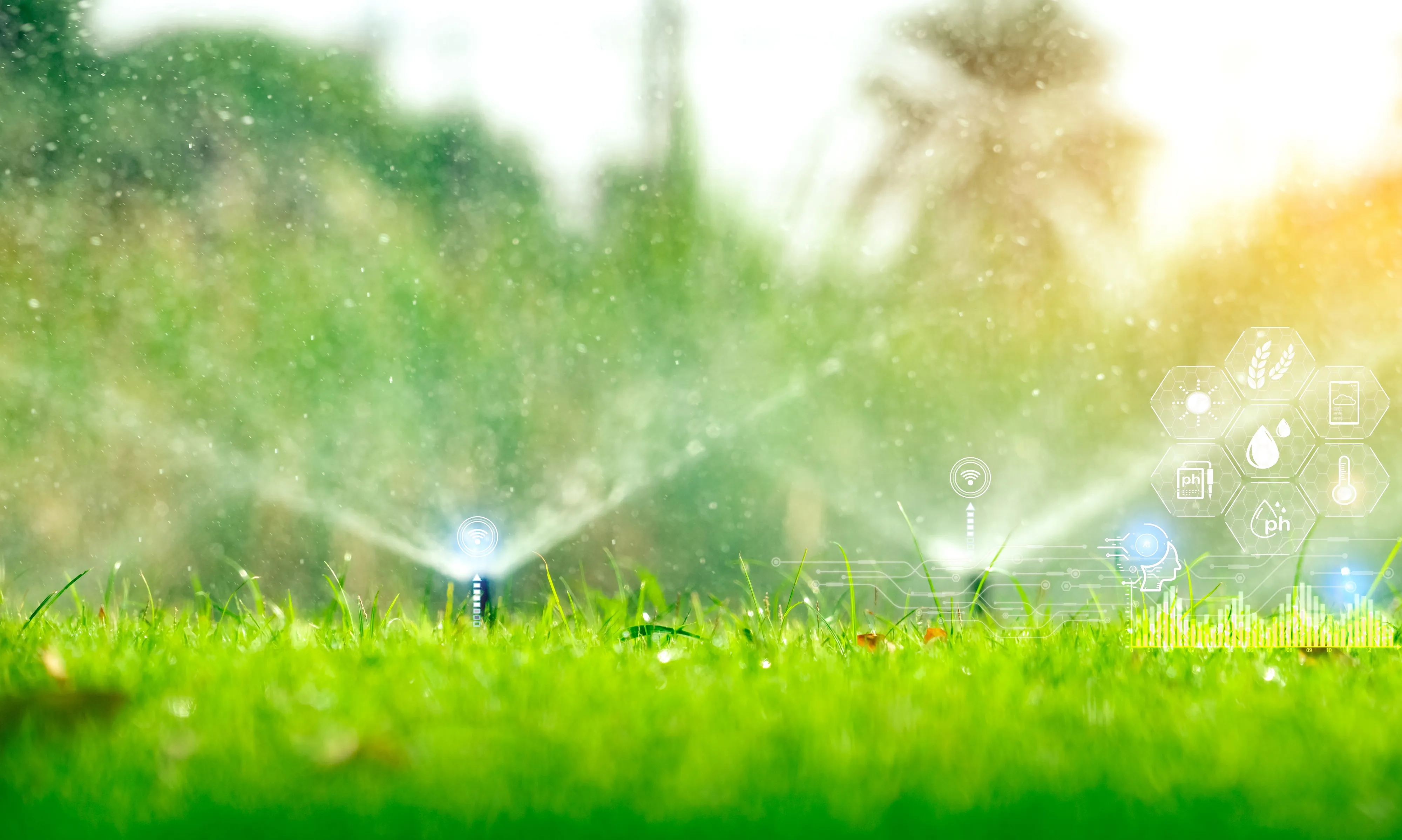
Smarter Water Use in Central Asia
In Uzbekistan, remote sensing supports national water management. Satellite-based irrigation monitoring—incorporating crop types and yield projections—produces digital maps that track water distribution and measure use efficiency.
Speaking at the 2025 Space Technology Conference in Baku, UzSpace Deputy Director Mukhiddin Ibragimov noted: “Facing growing pressure on water resources, we asked how to rebuild our irrigation system. Remote sensing began to provide the answers.”
The technology now operates in three regions across more than 5 million hectares. With 90% of Uzbekistan’s water consumption linked to agriculture and up to 40% lost to inefficiencies, satellite optimization could boost wheat yields by 30–40%—without increasing water withdrawal.
Global Agtech Partnerships
In spring 2024, Russian and Egyptian researchers collaborated to boost leek yields using vegetation indices from satellites. Their model, built from biophysical crop data, recommends optimal fertilization schedules and reduces the need for costly field surveys. It’s already adaptable to other crops.
This effort involved scientists from the Peoples’ Friendship University of Russia, Cairo University, and Egypt’s National Authority for Remote Sensing and Space Sciences.
In India, Russian satellites contributed to post-storm crop damage assessment. Following a 2018 hurricane, many farmers filed insurance claims. Russia’s CLASS system (Crop Loss Assessment Software System) helped verify losses using space imagery, meteorological data, ground sensors, and simulation models. The platform—including mobile tools—achieved 90% accuracy in estimating both damage and expected yield.
Such use cases make space-based consulting a cornerstone of future-proof, tech-driven agriculture worldwide.