Drones Help Russian Regulators Identify Abandoned Farmland
Inspectors from Rosselkhoznadzor’s Chelyabinsk region office plan to return more than 200 hectares of abandoned farmland to agricultural use after identifying the sites with UAVs and the Mobilny inspektor (Mobile Inspector) application.
Returning abandoned agricultural land to active farming is becoming an increasingly important state priority in Russia. In some cases, agricultural plots are purchased purely for speculative resale at higher prices. Other landowners use them as dumping grounds. As a result, valuable farmland often lays idle for years without any productive use.
Over time, abandoned land becomes overgrown with weeds, shrubs and trees, leading to soil degradation. Restoring fertility and returning the land to agricultural production requires reclamation work, which can demand substantial time and investment. UAVs and digital monitoring technologies help authorities identify such sites more quickly and return them to agricultural circulation. Under Russian law, regulators can seek court orders to confiscate neglected land from owners and place it up for auction.
Everything Is Visible From the Air
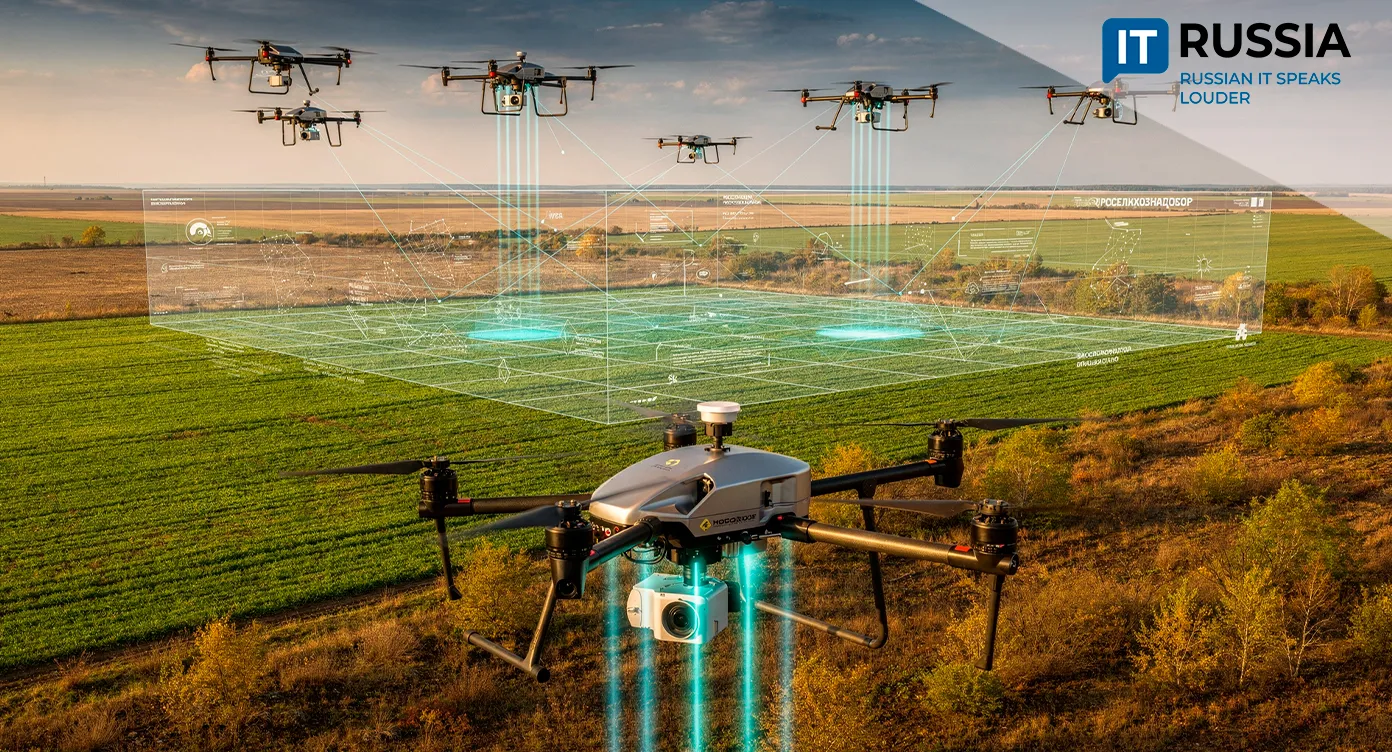
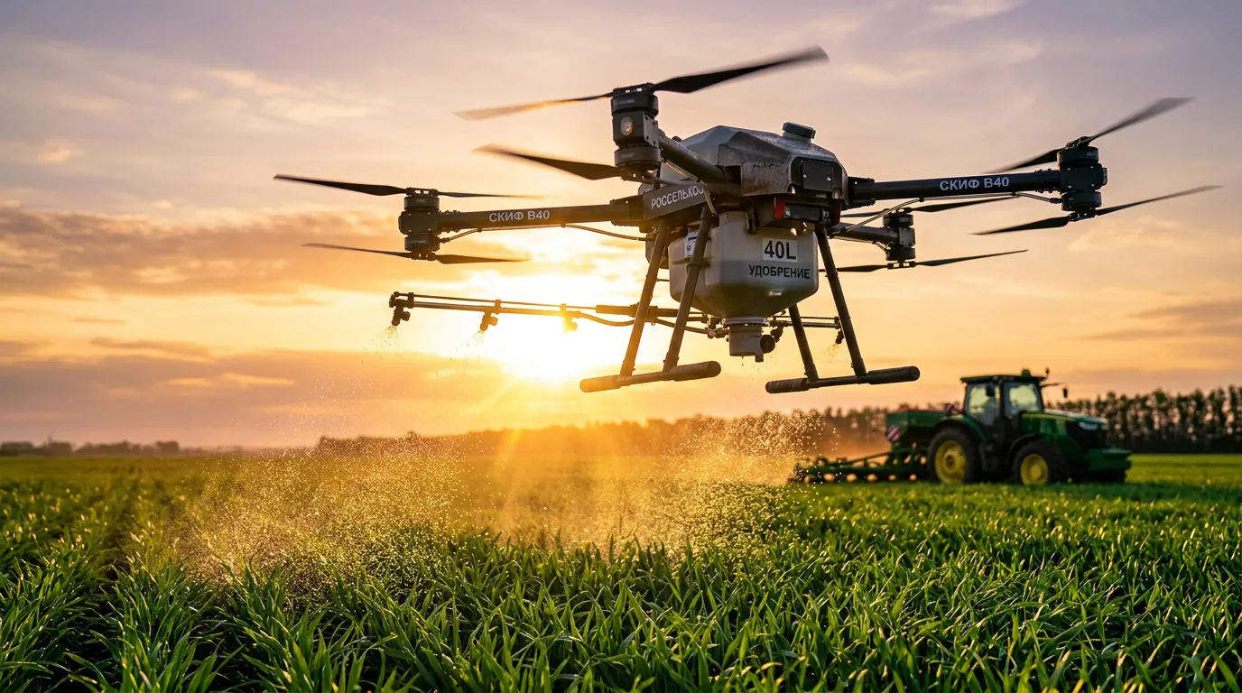
Rosselkhoznadzor inspectors are now actively using unmanned aerial systems to identify abandoned agricultural land. In Russia’s Chelyabinsk region in the southern Urals, agency specialists used a drone and the Mobilny inspektor digital application in 2026 to identify more than 200 hectares of overgrown farmland where no productive activity was taking place. The land had become covered with weeds, trees and shrubs and had effectively reverted to uncultivated terrain.
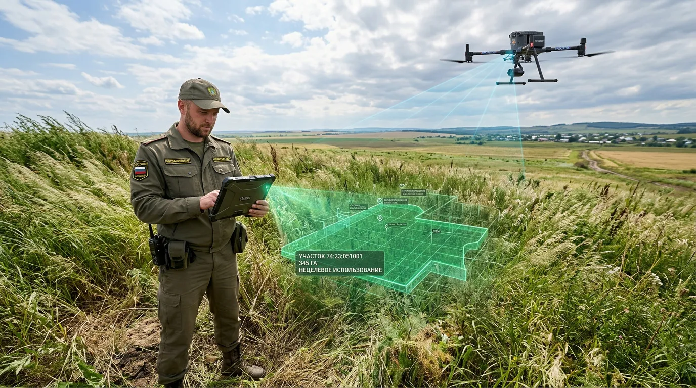
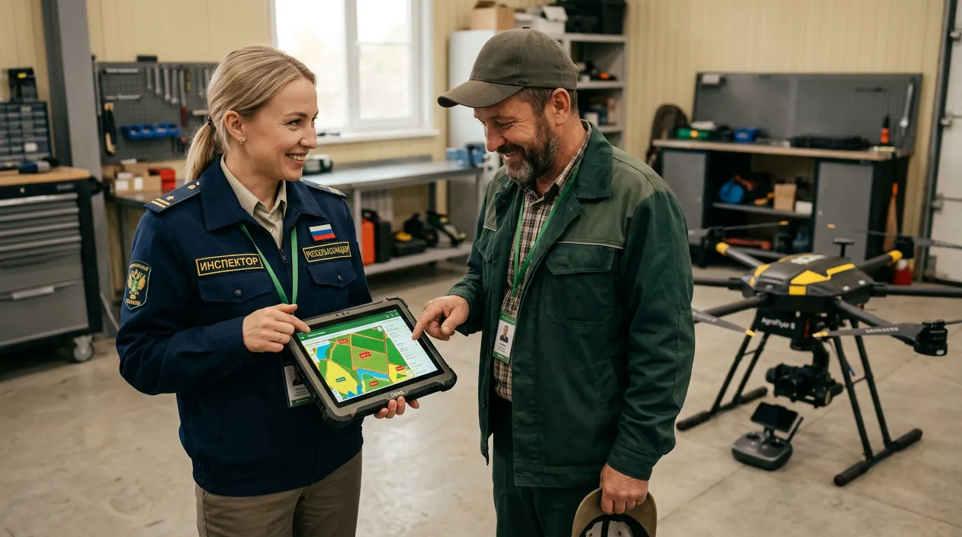
“During field inspections using an unmanned aerial system, inspectors examined 10 agricultural land plots located in the Kaslinsky municipal district. As a result, serious violations were identified,” said Natalya Sayfulina, press secretary for Rosselkhoznadzor’s Ural interregional administration.
Using the Mobilny inspektor application, Rosselkhoznadzor specialists also assessed agricultural land use in the Troitsky district covering a total area of 231.2 hectares. Inspectors found that a 26.8-hectare section had become overgrown with trees and invasive vegetation.
Owners of abandoned plots will receive official notices requiring them to remedy violations of land-use legislation and will be given time to comply. If the requirements are ignored, courts may decide whether to confiscate the land. Authorities are already carrying out that process actively. In 2025 alone, officials in the Chelyabinsk region confiscated 26 abandoned land plots covering 930 hectares. Preparatory legal work had continued for several years. Some of the confiscated land has already been sold and returned to productive use, while other parcels have been put up for auction.
Digital Oversight Expands
Rosselkhoznadzor is increasingly shifting from manual inspections toward remote monitoring supported by photo and video documentation as part of a broader digitalization trend in land oversight. The approach significantly improves operational efficiency because a single drone flight can inspect multiple sites. For example, surveying a 242-hectare area requires roughly 15 minutes, while ground inspections with manual video documentation can take several hours.
Under Russian law, the agency has the authority to inspect facilities subject to veterinary, phytosanitary or land-use oversight without requiring an inspector to be physically present at the site. In practice, the service uses UAVs to inspect areas and document violations through photo and video evidence both with and without landowners present.
Another advantage of UAVs is that they allow inspectors to conduct instrumental surveys immediately using cartometric methods. Before takeoff, specialists create a flight route configured around the required inspection parameters. After the survey flight, software automatically generates an orthophotomap. Combined with cadastral plans, the result is effectively a satellite-grade image of the territory, but produced more quickly and at significantly higher resolution.
A New Segment for Russian GovTech
In 2025, Rosselkhoznadzor carried out 3,138 field inspections using unmanned aerial systems. As a result, the agency issued 1,489 official warnings and 607 enforcement orders. Officials expect the number of drone-assisted inspections to increase further in 2026.
Digital technologies are therefore becoming a standard instrument for land oversight in Russia. UAVs, geodata platforms, photo and video recording systems, digital document workflows and mobile applications are increasingly operating as a unified system for tracking and managing valuable land resources. That trend is creating stable demand for applied IT solutions, including mobile applications for inspectors, geoinformation services, machine vision systems, automated photo and video classification tools, data storage platforms and land-use analytics systems.
More effective digital oversight is also helping authorities return idle land to economic use more quickly. At the same time, compliant agricultural producers are gaining new opportunities to access plots that had previously remained abandoned for years.