

Mapping Russia's Future Starts in the Irkutsk Region
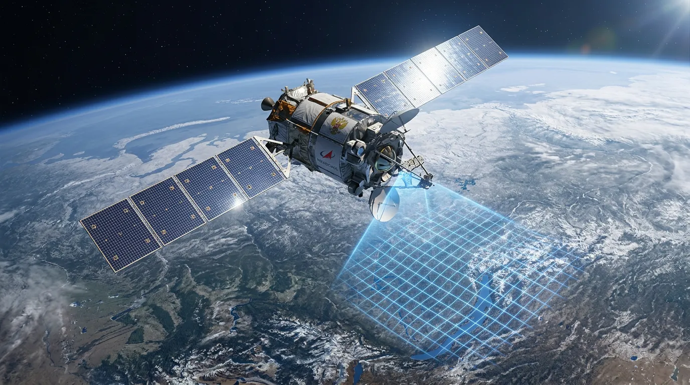
Rosreestr and Roskosmos have launched a pilot project to automate the monitoring of landscape changes. The initiative aims to combine satellite imagery, geospatial data, and artificial intelligence into a continuously updated digital model of the territory.
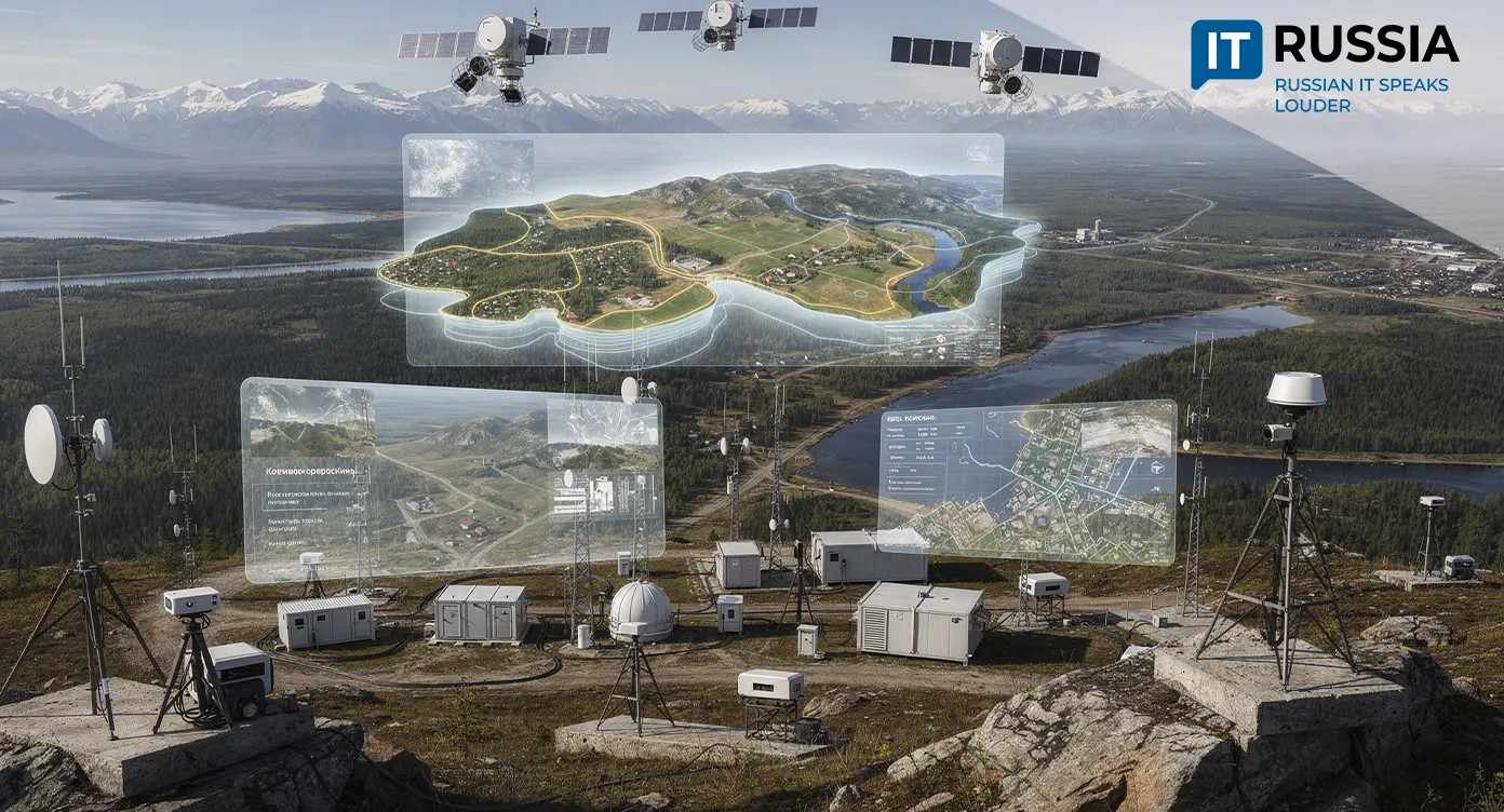
The Irkutsk Region has been selected as the testing ground for the project. It is one of Siberia's largest regions, spanning vast distances and including numerous remote, hard-to-reach areas where conventional land surveying is both logistically challenging and prohibitively expensive. Those conditions make it an ideal environment for validating next-generation mapping technologies.
Hundreds of Thousands of Kilometers at Scale
The Irkutsk pilot marks a major step toward building NSPD - Natsionalnaya sistema prostranstvennykh dannykh (National Spatial Data System). Back in 2021, the region became one of the first in Russia to complete a pilot program for the Unified Land and Real Estate Information Resource, effectively laying the groundwork for today's digital initiative.
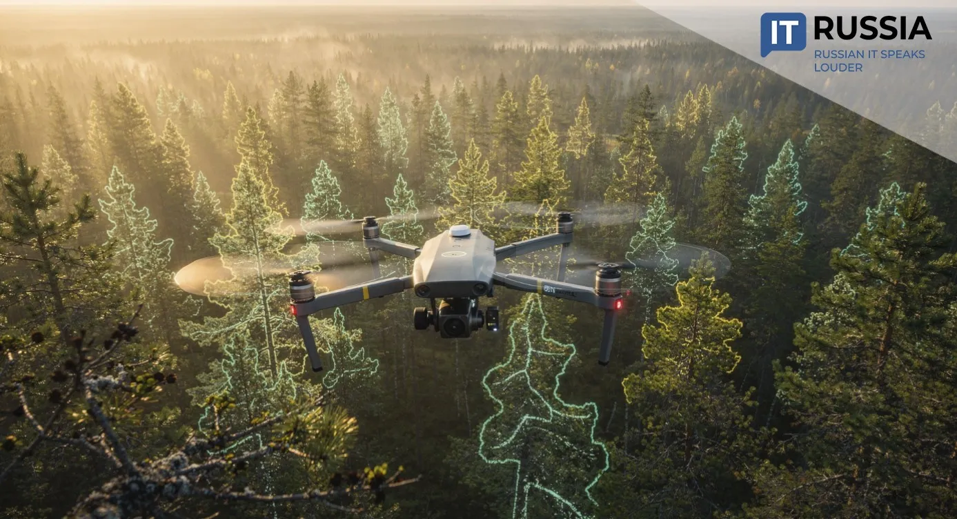
The platform will continuously correlate Earth observation data from satellites with information from government geospatial information systems and other spatial datasets. Artificial intelligence will serve as the core of this digital processing pipeline. Neural networks trained on millions of satellite images will automatically identify new buildings, roads, changes in land parcel boundaries, and other geographic features. As a result, the territory's digital twin will be updated on a regular basis.
A Smarter Cadastre
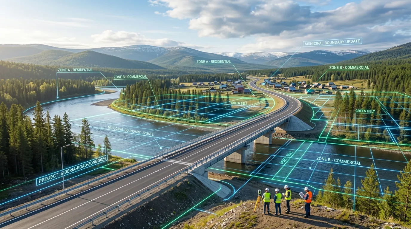
In 2021, Rosreestr launched Umnyy kadastr (Smart Cadastre), where neural networks were first used to compare registry records with satellite imagery in search of unregistered properties. The Irkutsk Region was among the earliest participants. In 2022, the UMKA project, which integrates registries, GIS platforms, and Earth observation data, demonstrated the effectiveness of multimodal datasets. In 2024, Roskosmos' Tsifrovaya Zemlya (Digital Earth) platform reported interim results after processing roughly 500 million square kilometers of imagery over five years. Then, in 2025, researchers at the Northern (Arctic) Federal University introduced a neural network system for georeferencing satellite imagery, addressing a longstanding positioning accuracy challenge.
The Russian system has been designed for conditions rarely encountered elsewhere in the world: vast, sparsely populated territories that are exceptionally difficult to access. Once the Irkutsk pilot is completed, the technology will be incorporated into the National Spatial Data System and deployed more broadly. The infrastructure for that expansion is already in place. By the end of 2025, 64 Russian regions had joined the NSPD platform, with additional regions continuing to connect.
Detecting Change Automatically
The system will automatically detect new roads, buildings, quarries, and logging sites, monitor whether land is being used for its intended purpose, update topographic maps, and significantly reduce the manual image analysis that currently takes months to complete. The next challenge is to ensure seamless integration with Russian satellite data. Looking ahead, Russia could offer international customers a turnkey package that combines a geospatial platform, AI-powered recognition algorithms, and registry management methodologies. That potential has already been highlighted through Rosreestr's international outreach, with the NSPD platform and the Umnyy kadastr service presented to specialists from China, India, Vietnam, and CIS countries.
In the near future, maps and real estate records are expected to be updated much more quickly, allowing cadastral errors to be identified sooner, the actual locations of buildings and land parcels to be verified more accurately, property disputes between neighboring landowners to be reduced, and the quality of public services to improve. The platform will also become a powerful tool for identifying unregistered properties and unused land that can be brought into economic use. Better visibility into where new roads or quarries are emerging will help urban planners make more informed decisions. As part of its 2027 plans, the Irkutsk Region aims to expand comprehensive cadastral work from 117 to 670 cadastral districts.