

Russian Microsatellite Delivers Higher-Resolution Crop Monitoring Than European Counterparts
Geoscan has confirmed that Lobachevsky, a microsatellite developed by Lobachevsky State University of Nizhny Novgorod, produces more detailed imagery of agricultural land than the satellite data sources most commonly used for crop monitoring.
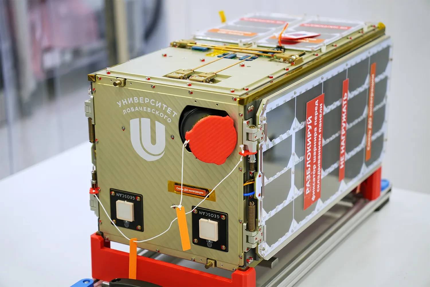
The team calculated the Normalized Difference Vegetation Index (NDVI) from the satellite's imagery to assess plant health and track crop development throughout the growing season. Lobachevsky captures imagery at a resolution of 4 meters per pixel, compared with approximately 10 meters per pixel for the European Sentinel satellites, which underpin many agricultural monitoring services.
The satellite's capabilities were demonstrated using imagery of farmland near Paris, where areas without vegetation and zones with varying levels of vegetation activity are clearly distinguishable.
According to Sirotinkin, the satellite's compact architecture makes it possible to deploy a full orbital constellation in a single launch, enabling frequent data updates and nationwide coverage.