Kamchatka Launches a System to Monitor the Ecological Health of Water Bodies
The new tool tracks how volcanic and hydrothermal activity affects water quality.
Researchers from the Institute of Volcanology and Seismology of the Far Eastern Branch of the Russian Academy of Sciences have developed a geographic information system (GIS) to monitor the ecological condition of Kamchatka’s freshwater bodies. The tool makes it possible to track how volcanic and hydrothermal activity influences water quality across the region, according to the press service of Kamchatka State University named after Vitus Bering.
For Experts and Local Residents
The system is called Ekologo-geokhimicheskaya kharakteristika poverkhnostnykh vod Kurilo-Kamchatskogo regiona (Ecological and Geochemical Characteristics of Surface Waters in the Kuril–Kamchatka Region). It is already operational and available online. The interactive map marks monitoring points, locations of thermal and cold mineral springs, as well as active and dormant volcanoes.
The new GIS is designed not only as a scientific instrument, but also for a broad audience. Specialists can use it to access detailed data for environmental assessments, while residents can check water quality at specific locations. By clicking on any monitoring point, users can view physical and chemical parameters of the water, its classification, and even photographs taken at sampling sites.
The system consolidates data from many years of research by the Laboratory of Postmagmatic Processes at the Institute of Volcanology and Seismology, covering not only Kamchatka but also the Kuril Islands. The scope of this research has expanded significantly over the past five years.
The Kamchatka River and Karymskoye Lake in Focus
Monitoring of the peninsula’s main waterway, the Kamchatka River, has been underway since 2021. Researchers have identified several problem areas and recorded exceedances of regulatory limits for vanadium, iron, aluminum, manganese, and arsenic. The highest concentrations were detected near the Klyuchevskaya group of volcanoes. The primary source of these elements entering the river system is groundwater.
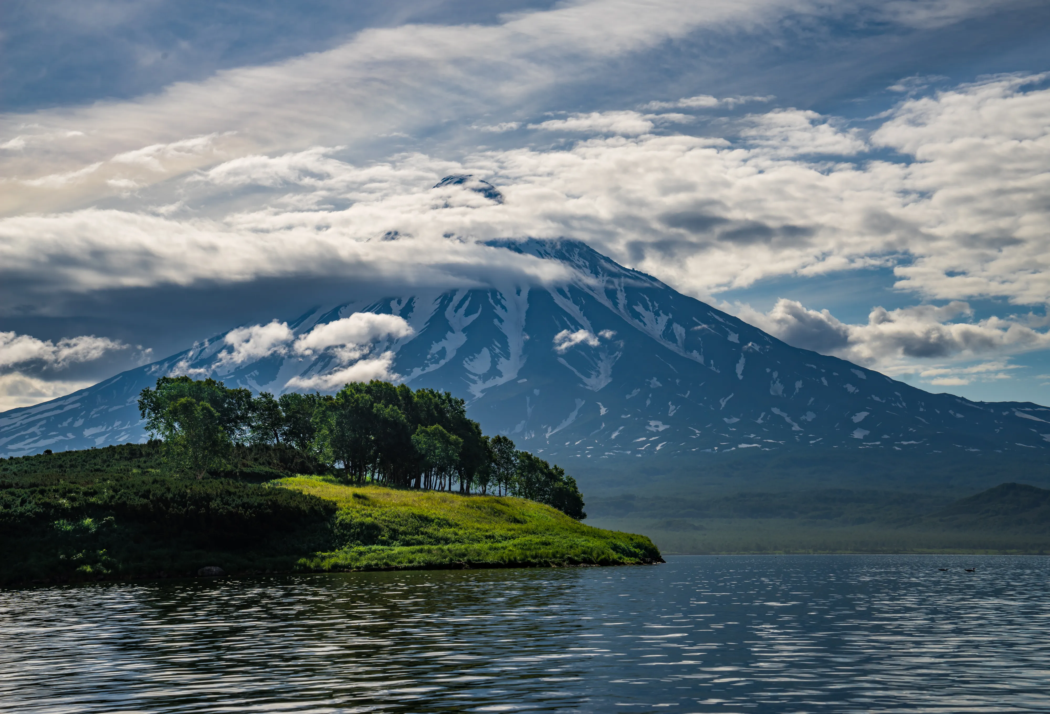
Scientists are also paying close attention to Karymskoye Lake, located near the active Karymsky volcano. After the simultaneous eruption of two major volcanoes in 1996, large amounts of various substances entered the lake. Nearly 30 years later, the lake’s water has still not returned to its original condition.
Earlier, we reported that the strongest earthquake in the past 70 years, a magnitude-8.8 event that struck off the coast of Kamchatka on July 30, 2025, prompted the need for new approaches to long-term safety. Sberbank, together with specialists from TekhKon and NITs Stroitelstvo RF (Research Center Construction in the Russian Federation), began developing a comprehensive digital model to assess the condition of affected buildings.