Russian Students Develop Agrometriks Predictive Analytics System
The technology is expected to boost crop yields by 10–20 percent.

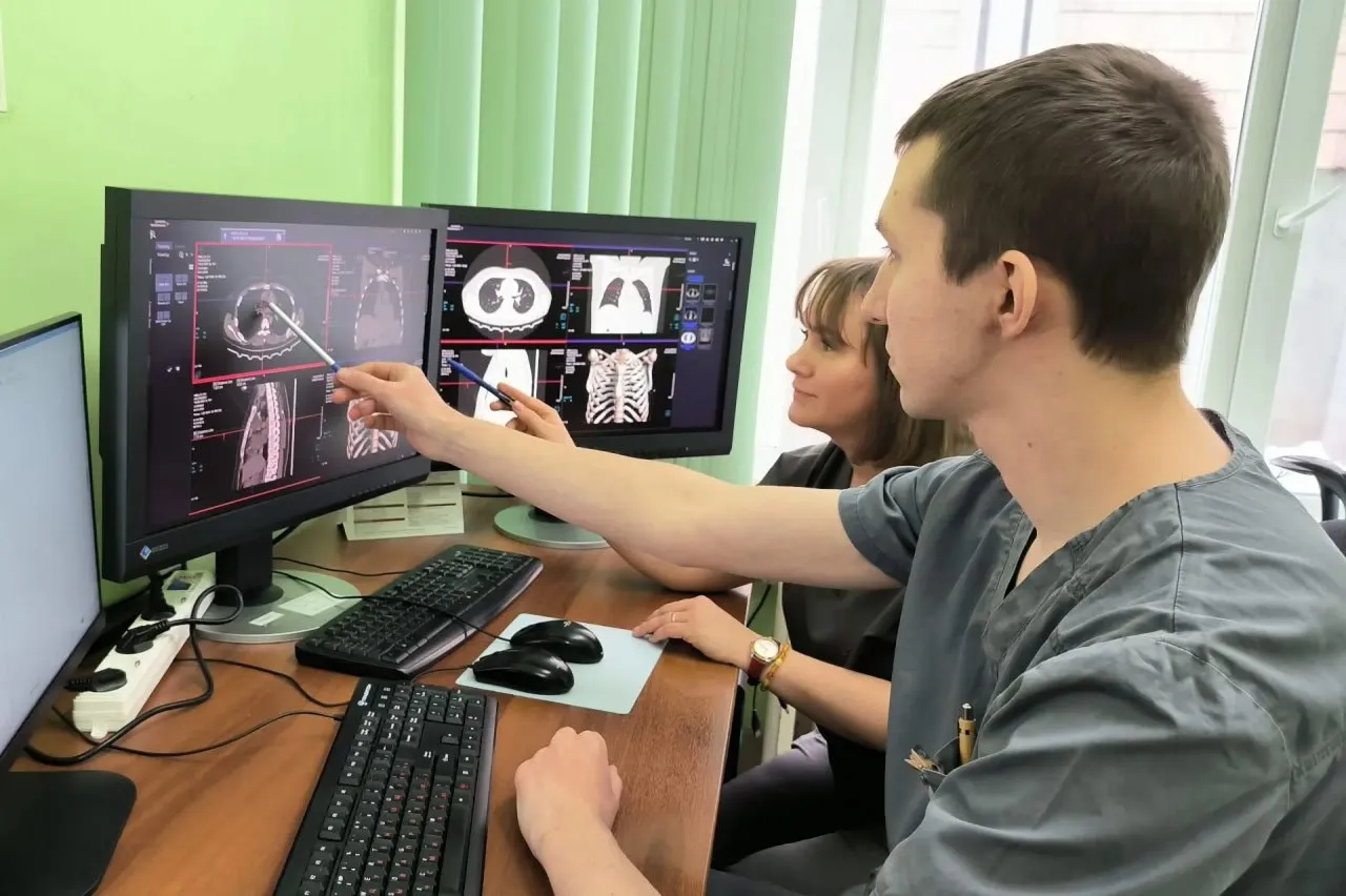
Students at the Moscow Aviation Institute have developed an advanced predictive analytics system for agriculture. The platform combines satellite imagery, weather-station data, and topographic information, enabling precise monitoring of crop conditions, yield forecasting, and strategic planning, the university’s press service told IT Russia.
Identifying Problems and Setting Priorities
The project is being developed by a student team from MAI’s Institute No. 3, Systems of Control, Informatics, and Electric Power Engineering, in partnership with soil scientists from Lomonosov Moscow State University. The work has been supported by grants from the Russian Science Foundation and the Foundation for Assistance to Innovation.
The new system is called Agrometriks. It is expected to help farmers cut costs by 15–25 percent, as fewer field visits will be required and resources can be allocated more precisely. At the same time, the developers say the technology could increase crop yields by 10–20 percent. The system enables early identification of risks and problem zones in fields, allowing farmers to take timely action and avoid losses. Fertilization, treatment, and irrigation can be tailored to the needs of each specific plot.
Forecast Maps From Space Imagery
The system is built on multispectral and radar satellite imagery, as well as data from local weather stations. Data collection, processing, and analysis are fully automated, eliminating the human factor and enabling faster, more reliable decision-making.
The developers have also created what they describe as Russia’s largest database of agrochemical soil surveys. It includes more than 6,000 soil samples collected in Primorsky Krai. The dataset is used to train the team’s own machine-learning models, which underpin the system’s forecast maps.
The project has already been commercialized. Industrial partners include the MGULAB testing center and the Center for Soil, Environmental, Agricultural, and Land Expertise. The team plans to further adapt the system to different climate zones, each with its own specific characteristics.
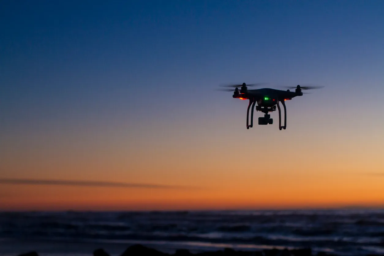
Earlier, we reported that the Federal Scientific Agroengineering Center VIM had developed a quadcopter capable of locating, assessing quality, and harvesting fruit from trees.