Drones: from Devices to Infrastructure
Geoscan (Geoskan) Group and Operator infrastruktury BAS (Unmanned Aviation Infrastructure Operator) have entered into a partnership aimed at developing ground-based communication infrastructure for unmanned aviation systems (UAS) and expanding their use in forestry, geodesy, and mapping.
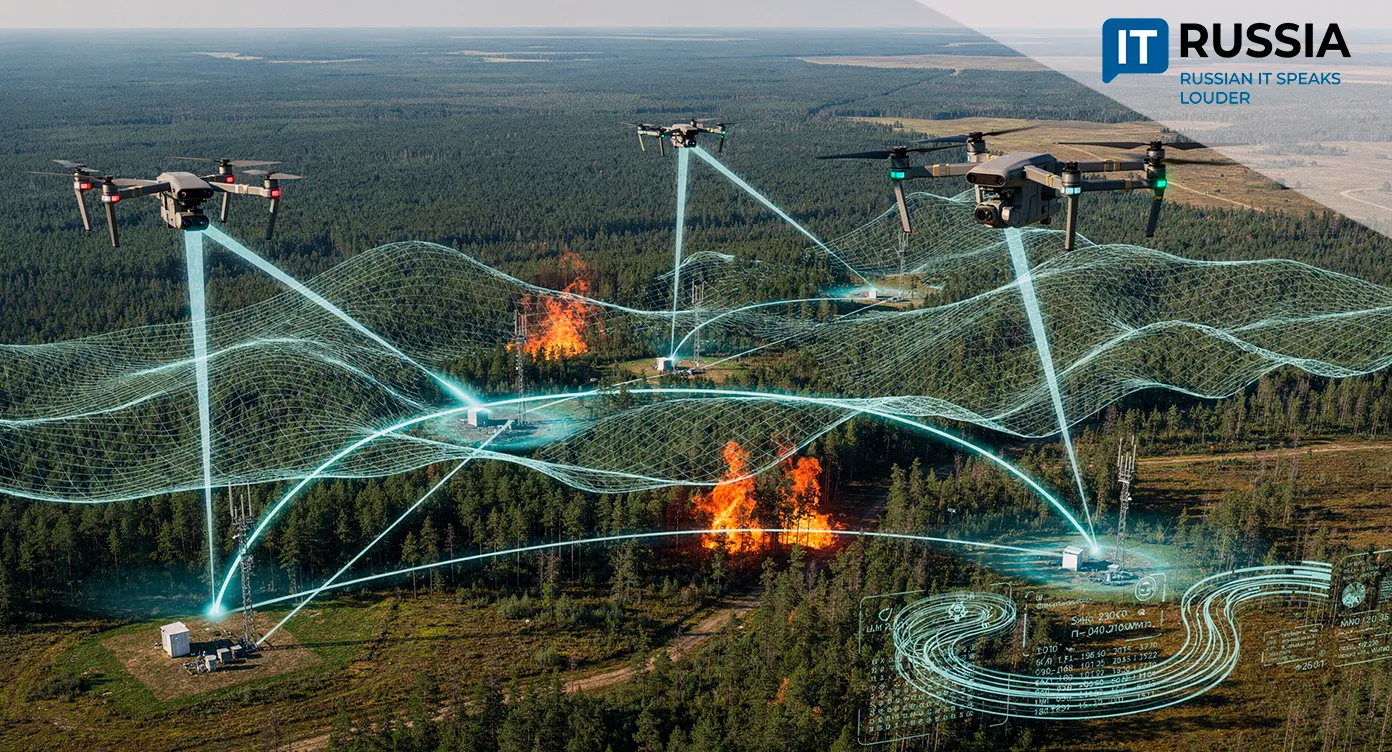
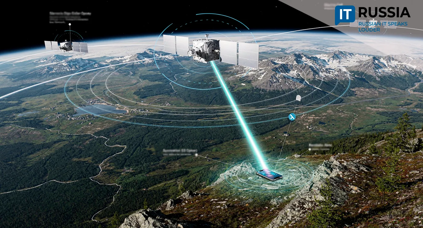
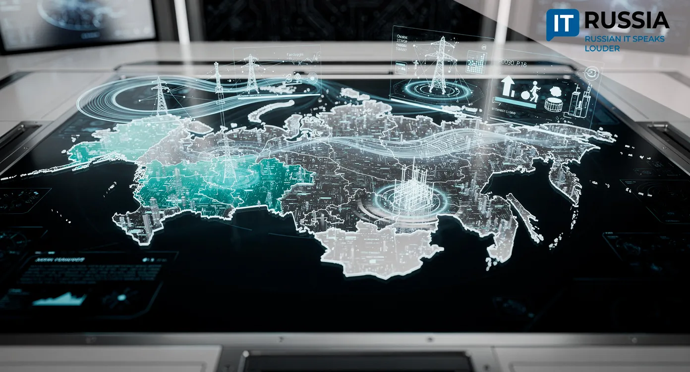
A central focus of the partnership between Geoscan and Operator infrastruktury BAS is developing technologies to support drone operations through ground communication networks. The project includes building relay networks, control systems, and data processing platforms, which is especially important for Russia’s vast and remote territories.
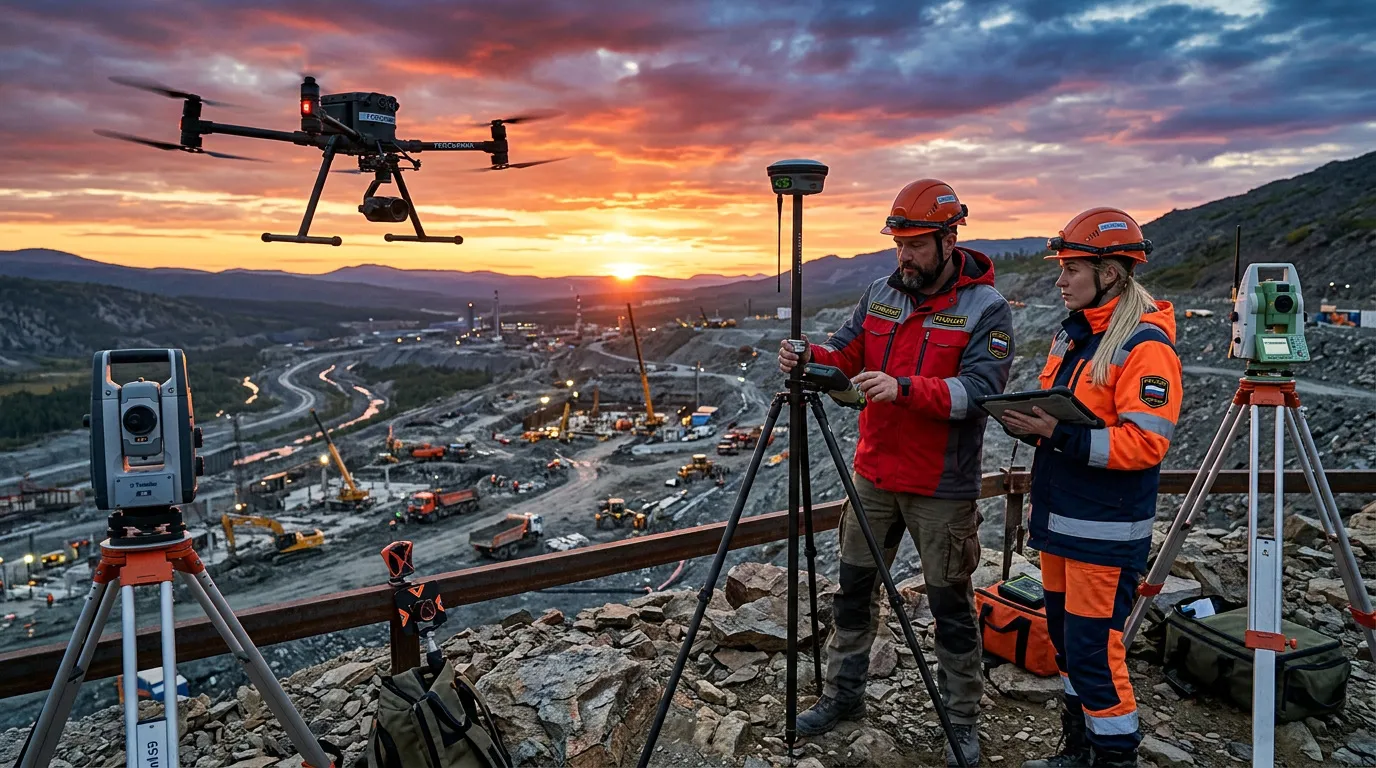
Priority areas include applying drone technologies in forestry for wildfire monitoring and forest inventory work, as well as increasing use of aerial imaging for geodesy and cartography.
This signals a shift in the drone market toward scaling, where the key factor is no longer just the aircraft but the infrastructure that supports its use. The partnership with Operator infrastruktury BAS is expected to deliver integrated solutions from flight operations to data processing.
Industry and Economic Impact
The agreement is in line with Russia’s national policy for developing unmanned aviation systems. Russia is implementing the Bespilotnye aviatsionnye sistemy (Unmanned Aviation Systems national project), while Rosaviatsiya has released a roadmap for building regional infrastructure to support drone operations. This marks a transition from manufacturing individual platforms to creating an operational environment in which drones can operate at scale and, importantly, with consistent performance.
The IT sector is shifting to integrated systems that combine connectivity, data, services, and safe operation. For citizens, this means faster wildfire detection, more accurate forest monitoring, and quicker access to geospatial data for construction, land management, and urban planning. The agreement supports development of a domestic market for drone-based services and improves management of remote areas.
Application and Export Potential
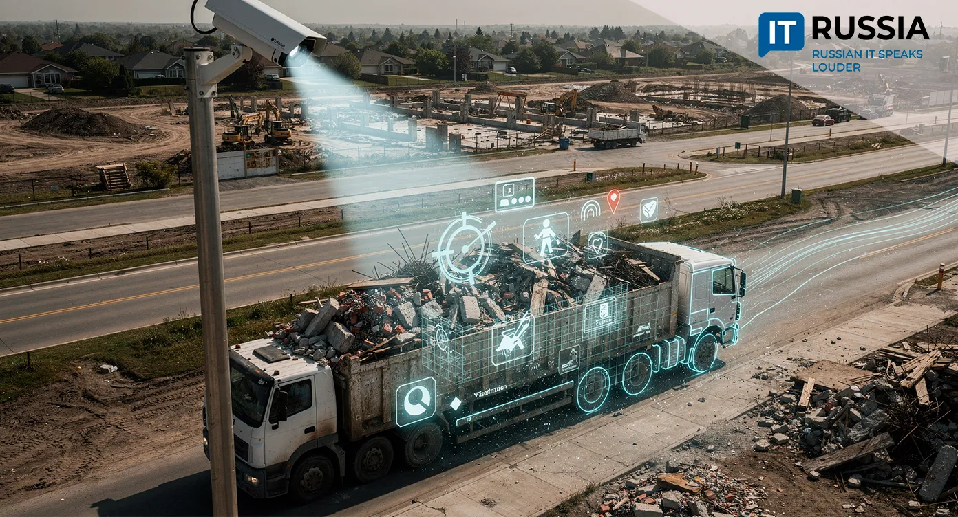
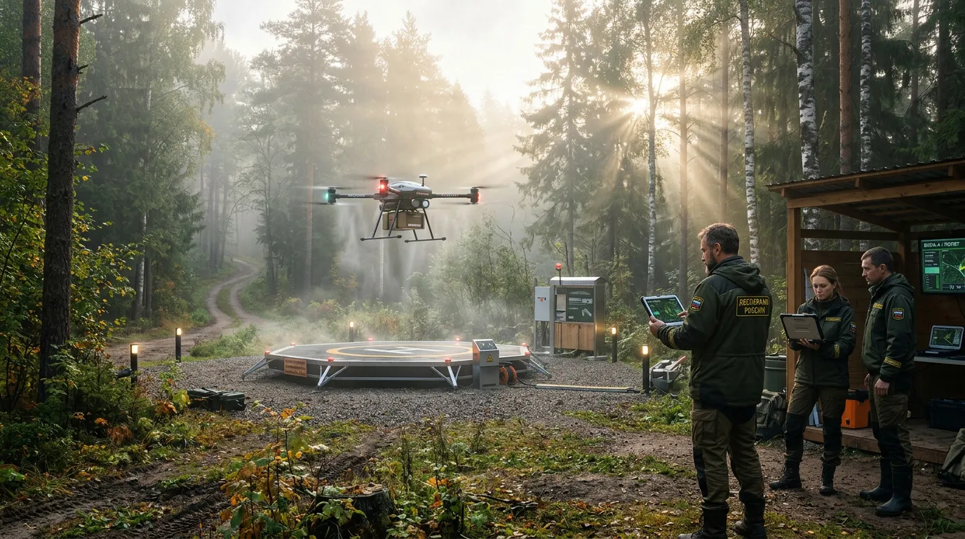
In forestry, the agreement will accelerate deployment of monitoring systems that can detect wildfires and identify ignition points at early stages, carry out reconnaissance, and detect hazardous zones such as windthrow areas and dry stands. In geodesy and cartography, infrastructure will support a shift from one-off aerial surveys to regular updates of spatial data. This shift is critical for construction, urban planning, cadastral systems, and land-use management.
The export potential is high. Russian companies can offer integrated solutions that combine hardware, connectivity, and data processing. This model is well suited to countries with large sparsely populated areas, developing resource projects, and limited ground accessibility.
Strategy Development
In 2023, a federal strategy for developing unmanned aviation systems through 2030, with a longer-term outlook to 2035, was approved. Since then, the sector has evolved from a collection of isolated projects into a coordinated element of state policy.
In 2024, Geoscan reported shipment of the first batch of drone ports with BVS Geoskan 801 systems under the national BAS programme. In 2025, Geoscan and Formoza-Soft introduced a Russian video monitoring system for wildfire detection, transmitting video, thermal imaging data, routes, and telemetry to the Lesookhranitel (Forest Protection System). In February 2025, the Ministry of Construction announced a new GOST R standard governing the use of drones in construction-related geodetic work.
Sector Maturity
The agreement between Geoscan and Operator infrastruktury BAS reflects a maturing market. Earlier, the focus was on aircraft; now attention is shifting toward operational infrastructure. This represents a more advanced stage of development that enables large-scale deployment of drones across the economy.
Between 2026 and 2027, market growth is expected to concentrate in segments where unmanned systems integrate into data infrastructure, including monitoring, geoservices, territorial control, construction, environmental management, and industrial surveying. For Russia, this supports technological sovereignty and spatial governance. It creates demand for software, communications, analytics, and systems integration, and opens opportunities to export integrated solutions.