Digital Navigation: Lake Onega Receives Its First Electronic Maps
Russia has completed one of the most ambitious freshwater mapping projects in its recent history: a full digital charting of Lake Onega, a critical natural reservoir and transport artery in the northwest.
The initiative marks an important milestone in sustainable water management, safer inland navigation, and the use of ecological monitoring tools based on advanced geospatial technologies.
From Orbit to the Lakebed
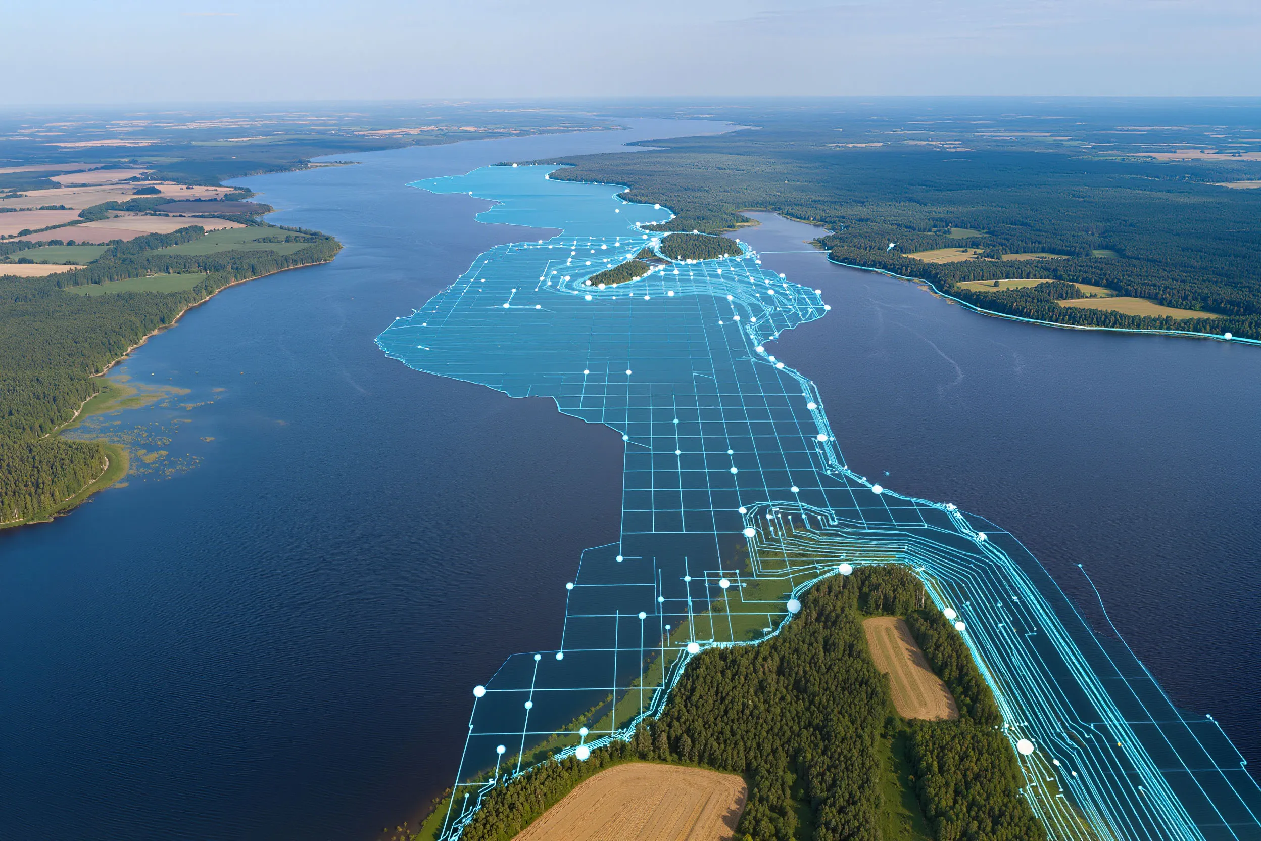
The scope and precision of the project are remarkable. Specialists surveyed 9,700 square kilometers of water surface, mapping the northern part of the lake first and the southern part afterward. To digitize the depths and underwater terrain, teams conducted hydrographic measurements of the lakebed. Shorelines and dozens of islands were captured in detail through satellite imagery. The result is a digital twin of the lake that displays real depths, navigation hazards, and underwater and surface objects with an exceptionally high level of accuracy.
Lake Onega is the second-largest freshwater reservoir in Europe and the third-largest lake in Russia, serving as a key segment of the transport network in the Russian Northwest. Until now, navigation here largely relied on paper charts created more than 40 years ago, long before the advent of satellite positioning.
A Turn Toward Digitalization
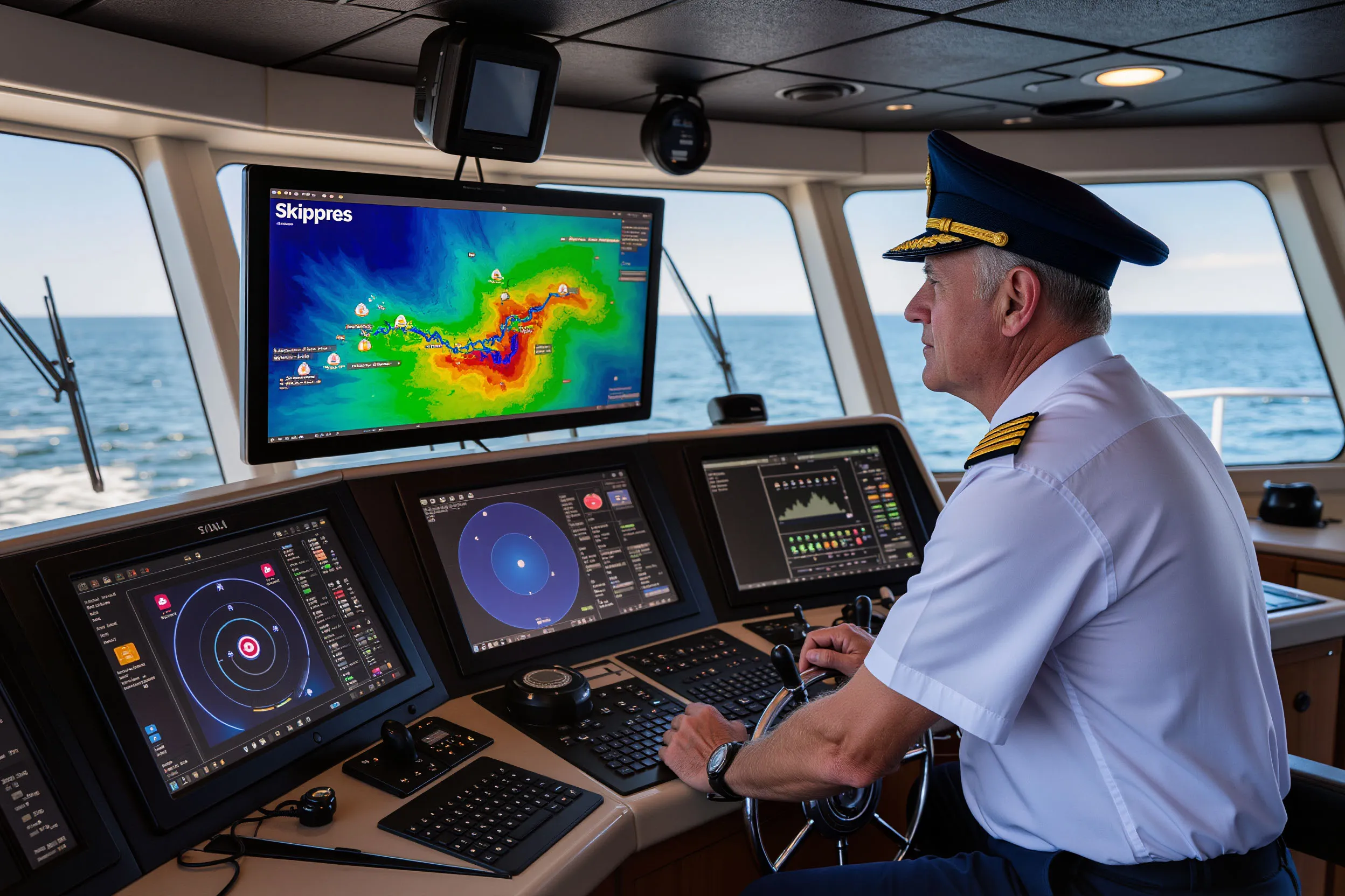
The introduction of modern electronic navigation charts (ENCs) fundamentally changes the landscape. These charts are designed for professional use by technical fleets, waterway authorities, vessel operators, and captains. Access is provided through the Russian navigation system Skipper, also developed by Sitronics, forming a full digital ecosystem. This shift directly reduces the risk of navigation accidents, groundings, and other incidents. It improves logistical efficiency, optimizes routing, and ultimately lowers operational costs while increasing the reliability of cargo transport.

Lake Onega was digitized as part of the “Karta-Ozero” (“Map-Lake”) project led by Russia’s Ministry of Transport. Under this program, Sitronics KT has already created ENCs for Lake Ladoga and for inland waterways totaling more than 70,000 kilometers. The next step is mapping other major Russian lakes, a move that could strengthen not only freight operations but also tourism, fisheries, and sustainable water-resource management.

A Flagship of Digital Navigation
Sitronics offers an integrated suite of tools — from depth-survey systems and satellite-based imaging technologies to the full Skipper charting platform — that can be adapted for international projects. These solutions are especially relevant for countries with developing river and lake infrastructures, where the demand for safe and efficient navigation is rapidly rising.
With this project, Sitronics secures its place as a flagship of digital inland navigation, while Russia acquires a modern toolset for managing and developing its vast water territories. In the long term, the accumulated expertise could evolve into a competitive export product for the global transport and environmental technology market.