Scientists at the Karpinsky Institute Build a 3D Model of St. Petersburg’s Subsurface
St. Petersburg’s history is so rich that researchers still expect many discoveries. Yet one layer has remained largely unexplored – until recently, the city’s geological data had never been assembled into a unified map.
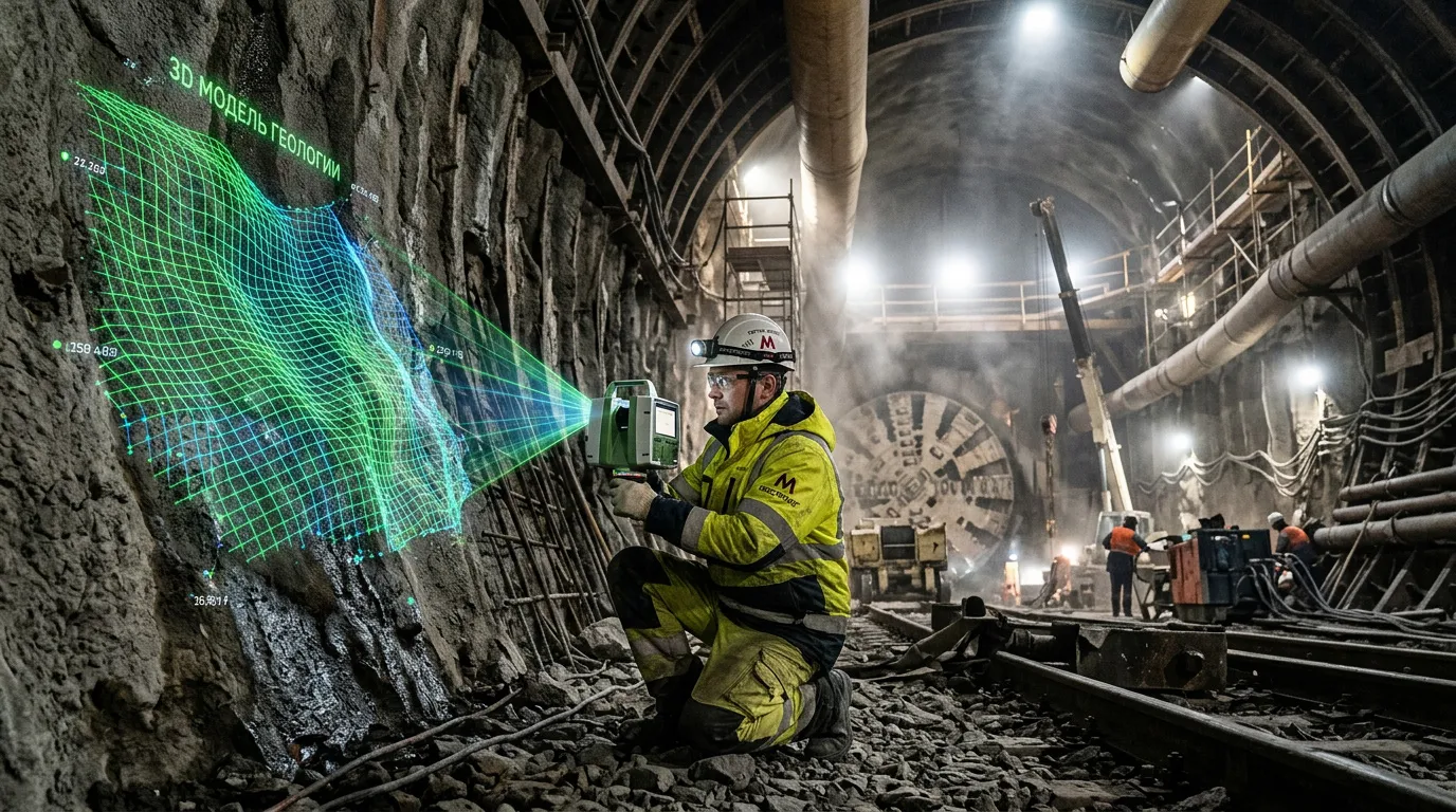
The project began two and a half years ago at the Karpinsky Institute, where scientists set out to look beneath the surface of the city on the Neva River.
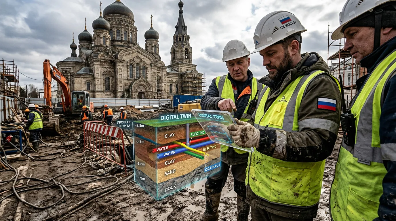
The goal is practical – to give designers, engineers, and builders objective data about what lies underground. Beneath the city is a kind of layered structure, where each stratum has precise coordinates, age, and physical properties.
Researchers digitized and integrated data from nearly 10,000 boreholes – from shallow engineering surveys to ultra-deep drilling records. Some of this information dates back to the 1930s.
The resulting digital twin can guide decisions on where to route a metro line or construct high-rise buildings. It is also designed to prevent incidents like the 1974 tunnel flooding between Lesnaya and Ploshchad Muzhestva stations, when quicksand-like soils inundated tunnels, caused ground collapses, and disrupted transport. The new system gives planners a unified and transparent tool to visualize subsurface layers at any point in the city.
Ground for Construction
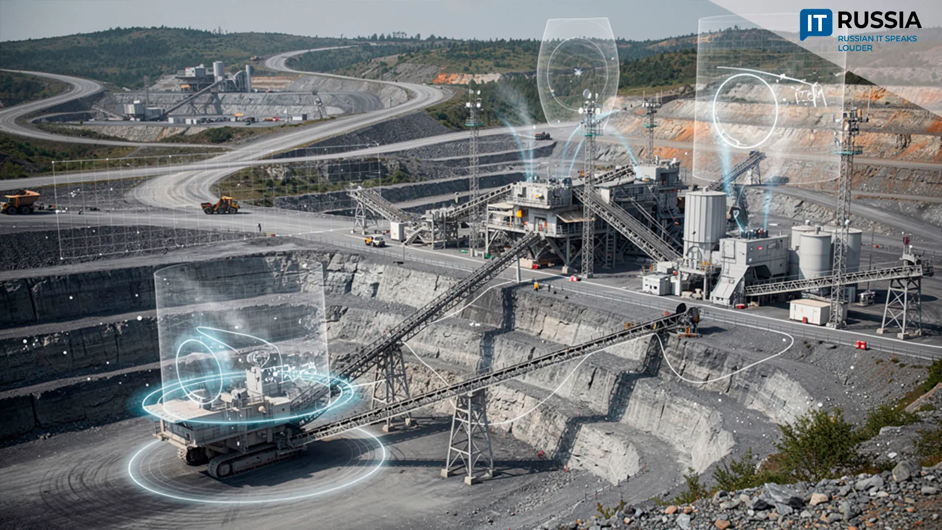
3D modeling methods have been steadily integrated into construction and resource extraction in recent years. During the reconstruction of Luzhniki Stadium, specialists from the Gersevanov Research Institute of Bases and Underground Structures encountered Jurassic clay deposits and the challenge of preserving the historic facade. Using PLAXIS 3D software, they simulated the impact of construction work, improving forecast reliability and reducing foundation costs through detailed soil analysis.
Scientists at Perm Polytechnic developed a 3D digital twin of a well that predicts heat distribution during Arctic oil extraction with up to 95% accuracy. The model helps determine how to efficiently heat high-viscosity oil with steam without destabilizing permafrost or increasing accident risks.
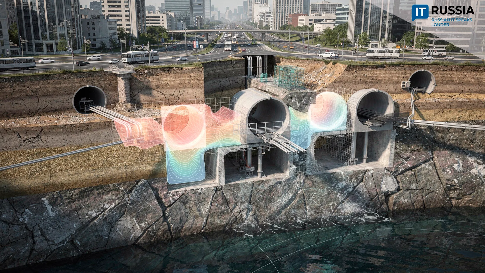
The St. Petersburg model is based on data covering the entire metropolitan area. According to its developers, projects long considered theoretical – such as underground highways – are now becoming technically feasible.
Further Expansion
The city’s subsurface digital twin is expected to help avoid past mistakes, when limited geological knowledge led to structural deformations and accidents. Each new construction project and each new borehole will feed additional data into the system, steadily improving prediction accuracy. At the concept stage, unsafe or impractical engineering decisions can be filtered out early.
The model has already been recommended for implementation by the scientific and technical council of Rosnedra. Plans for 2026 include integrating it into urban geoinformation systems and expanding it into a full-scale digital twin with hydrogeological and engineering modules.