Land and Real Estate Services in Kemerovo Region Are to Go Digital
Digital tools for land management already allow users in many Russian regions to find suitable land plots quickly and with minimal effort. Over time, this model could be offered internationally as a proven, efficient solution.

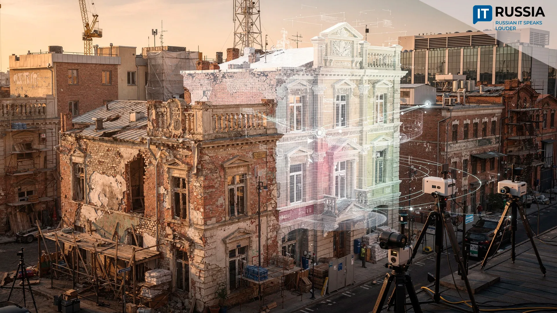
The Kemerovo Region is among the areas where, in 2026, authorities are piloting a new mechanism for delivering state and municipal services related to land and real estate through a unified digital platform – Natsionalnaya sistema prostranstvennykh dannykh (National Spatial Data System, NSPD).
The pilot currently covers 12 services, ranging from preliminary approval of land allocation and permits for land use to reclassification of land categories, establishment of easements, and approval of land plot layouts. Users can select a plot through the NSPD portal, move to Gosuslugi (Public Services portal), submit a request, and receive a response in their personal account.
This rollout is part of a broader federal effort to modernize land and property administration. The government approved NSPD in 2021, and by early 2026, 64 regions had connected to the platform, with 11 more expected to join by the end of the year. As these services move online, agencies reduce paperwork and in-person visits, speed up land discovery, and make application workflows clearer. The result benefits residents, businesses, and government agencies alike.

A Showcase of Domestic Capabilities
The mechanism is primarily designed for domestic use, with full rollout of NSPD-based services for public administration expected by the end of 2028. At that point, land and property processes are set to operate entirely in digital form. The number of available services may grow, along with the number of participating regions. Beyond convenience, the platform is expected to improve how authorities manage land and territorial development.
The underlying model – a platform-based approach to governance, integration of GIS systems with state registries, and end-to-end digital services – could later be offered to partner countries as an exportable solution. In that sense, NSPD serves as a showcase of Russia’s technical capabilities in spatial data management.
Putting All Land Into Digital Form
In 2021, the government approved the Natsionalnaya sistema prostranstvennykh dannykh (National Spatial Data System program), which became the foundation for consolidating fragmented spatial, cadastral, and property data into a single digital platform. As of 2024, the Zemlya dlya stroiki (Land for Construction project) had identified nearly 155,000 hectares for residential development, while the Zemlya dlya turizma (Land for Tourism project) had mapped nearly 1,600 sites covering 32,500 hectares.

These efforts marked an earlier phase of the current transformation: first, authorities digitized land discovery and recordkeeping, and now they are moving related services into a unified digital user journey.
Since March 1, 2025, legal entities have been required to submit documents to Rosreestr in electronic form. Digital services continue to expand across all land categories.
Digital Services Become Tangible for Citizens
In the coming years, NSPD is expected to evolve from a data repository into a full-service environment supporting a wide range of government services and territorial development tools. If regional integration proceeds without major disruptions, the number of services will likely grow, and NSPD will become more deeply embedded in regional and municipal information systems. Use cases for residents, developers, investors, and public authorities are set to expand steadily.
As a result, digital land and real estate management is becoming a tangible, user-facing service for citizens across the country.