A Full Digital Twin of a 17th-Century Map of Siberia Has Been Created
Researchers at LETI have produced a three-dimensional digital copy of the historic document “Drawing of Siberia From the Chinese Borders.” The unique map can now be preserved from the destructive effects of time.
What the Map Is and Why It Matters
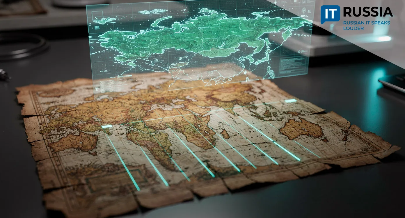
The “Drawing of Siberia From the Chinese Borders,” created by Semyon Remezov in 1698, is a hand-drawn map marking rivers, roads, terrain and cities across a vast territory – from the Urals to the Arctic and the Far East. It functions as a visual encyclopedia of how Siberia was understood at the end of the 17th century.
The original is made on cotton fabric and has visibly aged over three centuries. The material is fragile, pigments have faded, and cracks and deformations have appeared. Any unnecessary contact accelerates deterioration, which means working with the document requires extreme care.
Why 3D Laser Scanning Was Needed
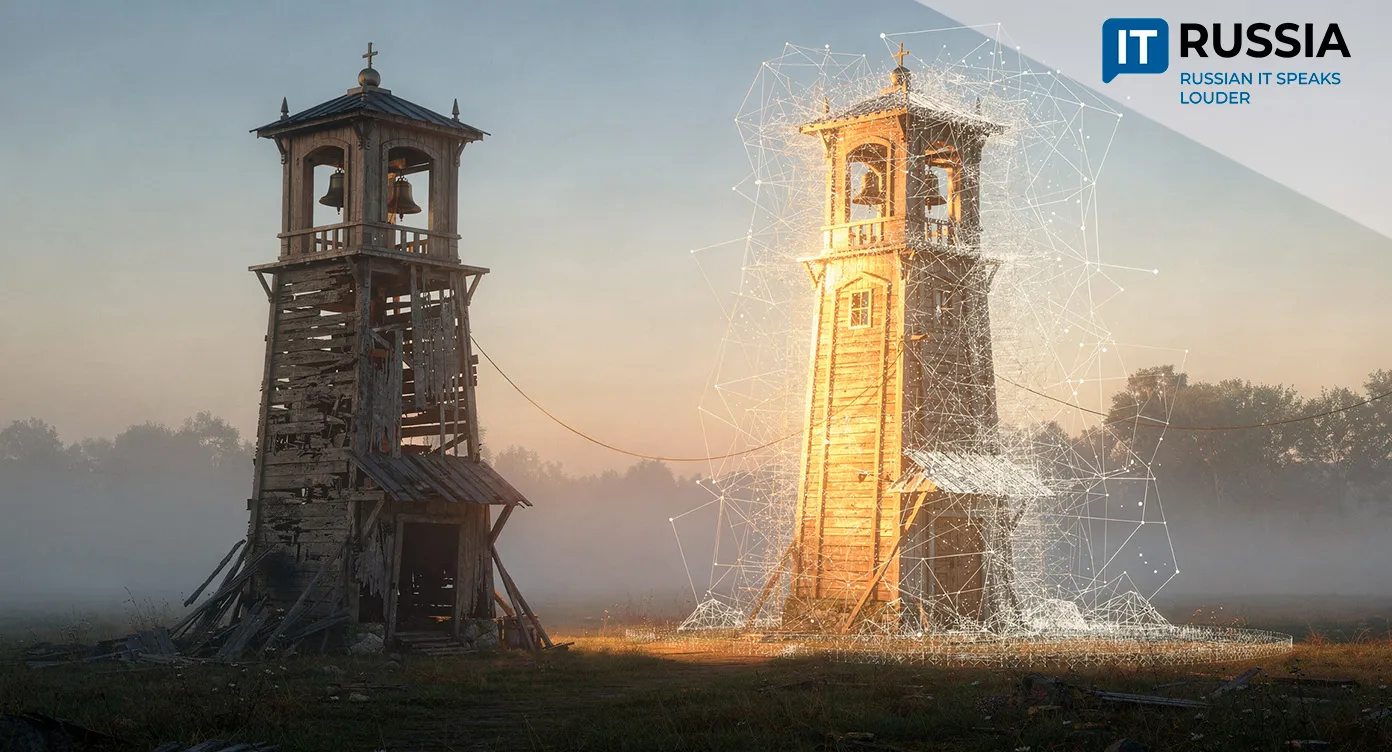
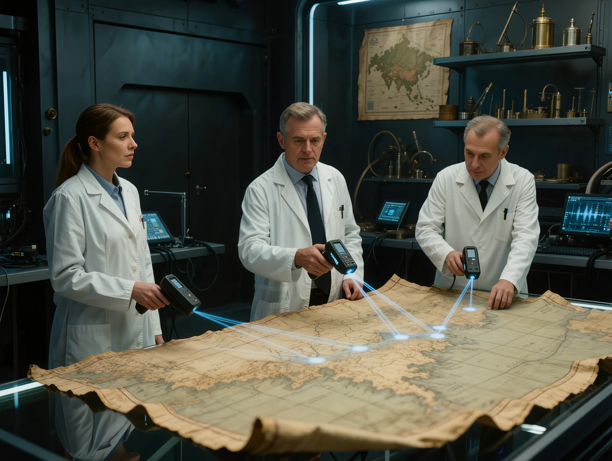
A team from Saint Petersburg Electrotechnical University LETI uses laser 3D scanning to capture an exact snapshot of the map’s current condition. A laser beam scans the surface millimeter by millimeter, recording micro-relief – folds, bulges, cracks and distortions of the fabric base.
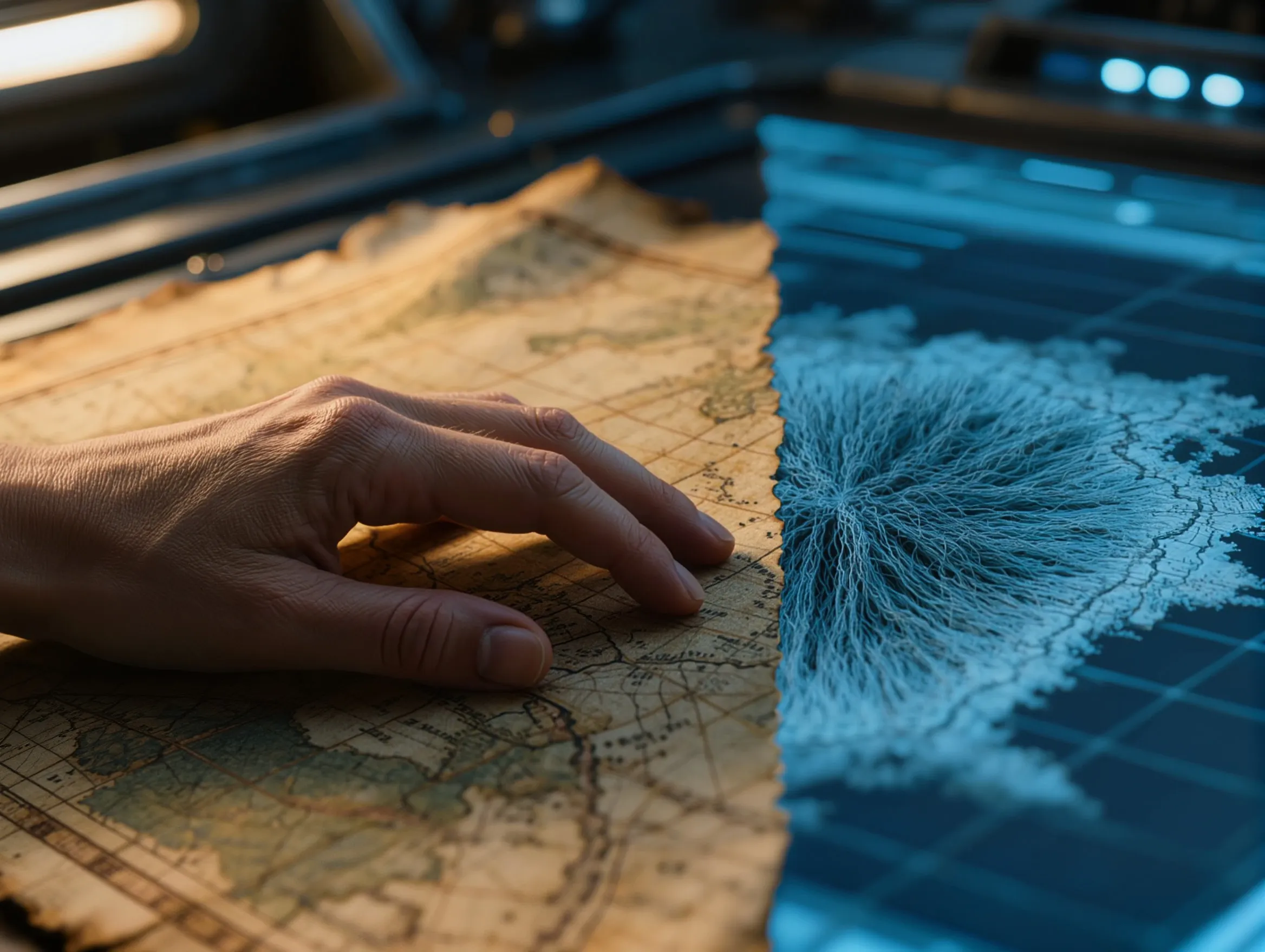
These measurements are used to build a three-dimensional digital model. Unlike a standard photograph, it reflects not only color but also shape, thickness and the smallest surface irregularities. That matters because fabric deformation is often the earliest sign of structural damage.

How the Digital Copy Helps Conservators
The goal is not to replace the original but to give conservators a new observation tool. Periodic rescanning makes it possible to compare 3D models over time and detect even minimal changes – where the fabric begins to sag or new microcracks appear.
Such monitoring allows preservation measures to be planned in advance. Conservators can reinforce the backing, adjust storage conditions or fine-tune microclimate controls without waiting for visible damage. Decisions are based on precise measurements rather than visual inspection alone.
For museums, this approach marks a shift from reactive, one-off restoration toward continuous condition checks of valuable artifacts.

From a Single Map to a Digital Archive
The Remezov map project shows how modern technology can be integrated into heritage preservation. Laser 3D scanning is already widely used worldwide to document architectural monuments, sculptures and archaeological sites. Now the same approach is being applied to fragile cartographic materials.
Digital models can be embedded in virtual exhibitions and online archives. Researchers and educators gain access to an exact copy of a rare artifact without risking the original. Details can be magnified, inscriptions examined and the map compared with modern geographic data.
Over time, projects like this could form the basis of a national digital archive of cartographic heritage. That would make it possible to study the history of Russia’s territorial development without overloading museum collections with physical access.
Russian Researchers Within a Global Heritage-Digitization Trend
Interest in digital heritage preservation is growing worldwide. International initiatives such as CyArk create 3D copies of landmark monuments. Russian projects that use laser scanning on architectural structures, including the Shukhov Tower, have already demonstrated the technology’s effectiveness for complex forms.
In the coming years, the range of objects scanned with laser 3D technology is likely to expand – from other maps and atlases to historic manuscripts and paintings where the micro-relief of the paint layer matters. As datasets accumulate, specialized software may emerge to analyze changes over time.