Russia Charts Its Own Path Through Navigation Blind Spots
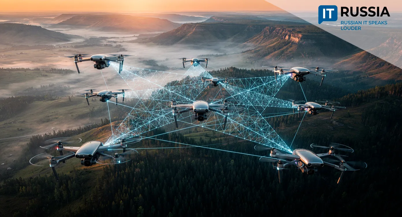
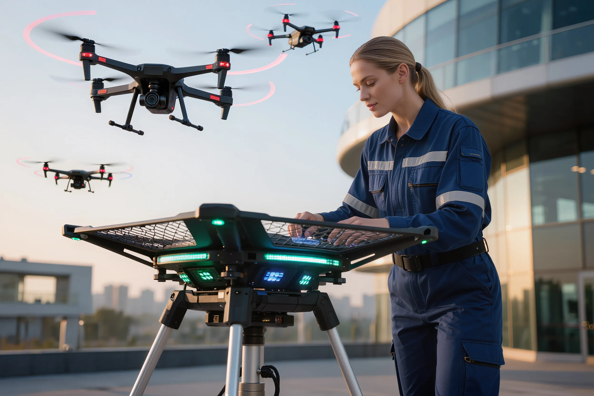
Russia is preparing to test an adaptive mesh network for autonomous drone navigation – a solution that allows unmanned aerial vehicles to orient themselves in environments where GPS and GLONASS satellite systems are ineffective or unavailable.
How the Technology Works
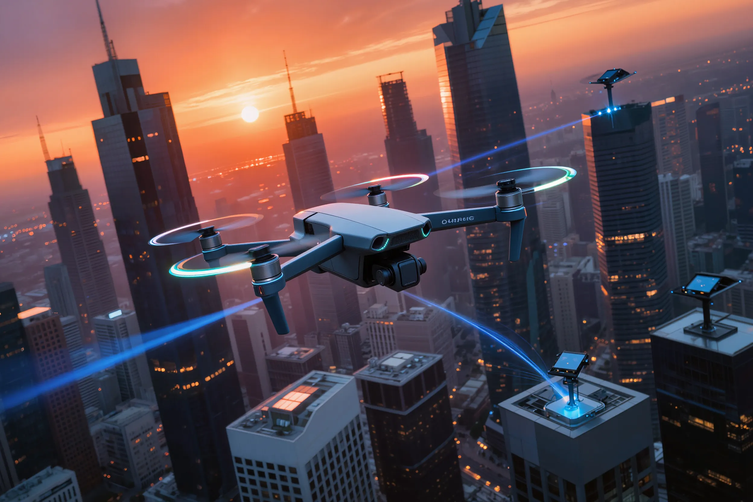
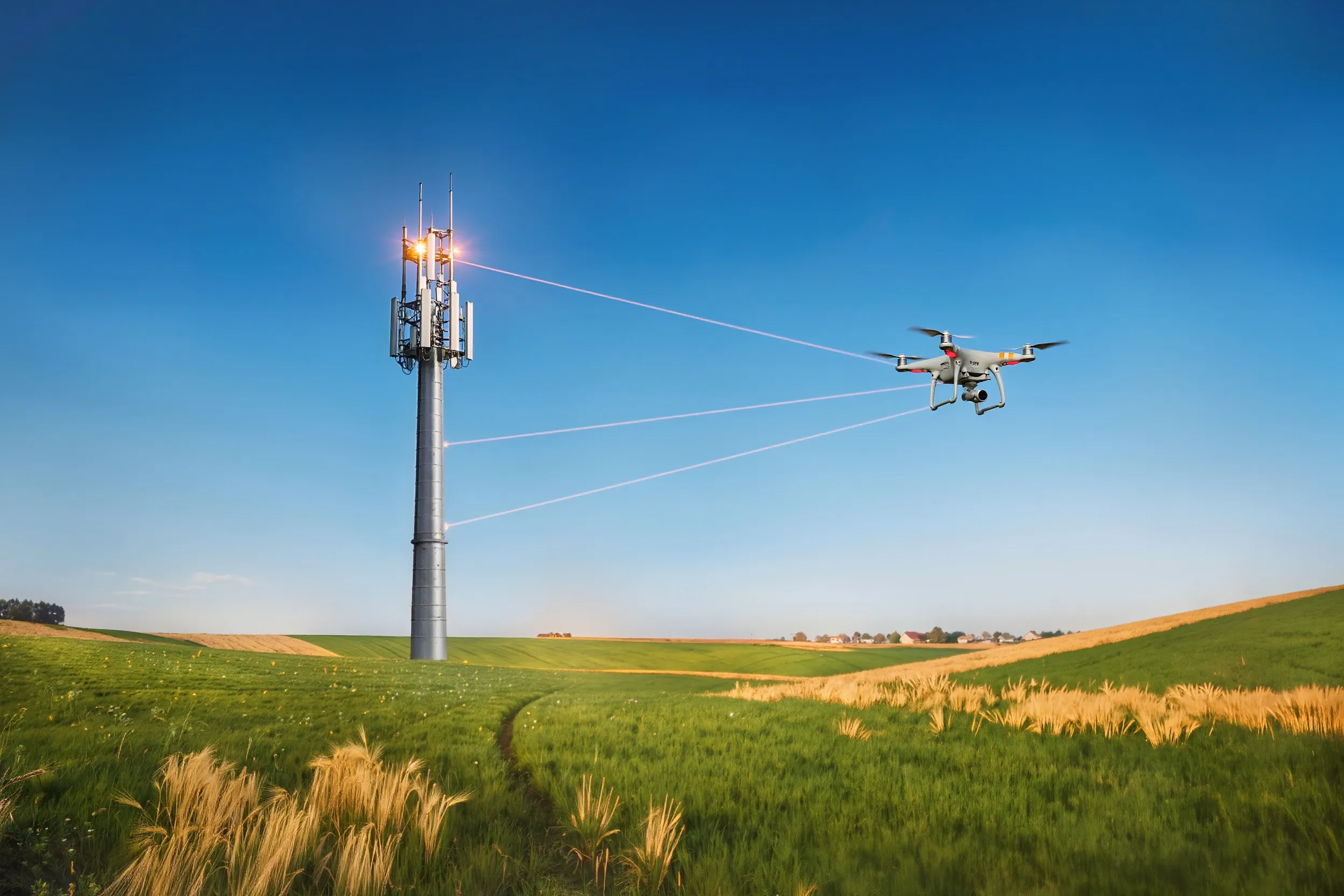
The core of the innovation lies in a distributed wireless network in which ground stations and onboard drone modules exchange data directly, without relying on satellites. The system builds routes and provides positioning autonomously, operating in a decentralized manner with a high level of communications resilience.
The importance of this technology is difficult to overstate. First, it reduces dependence on satellite navigation systems, which is critical in environments affected by interference or deliberate signal jamming. Second, it enables reliable UAV operations in challenging conditions such as dense urban areas, mountainous terrain, and remote rural regions. For Russia, this represents a step toward technological sovereignty in navigation and communications for unmanned systems, a field that matters for civilian, industrial, and defense applications alike.
For end users, the technology promises greater service reliability. Drones will be able to perform missions without the risk of losing orientation, while automated systems become less vulnerable to external disruptions.
Where the Mesh Network Leads
Within Russia, the technology fits into the concept of a seamless digital sky, a unified infrastructure for UAVs, piloted aviation, and other aerial platforms. This could accelerate drone adoption across key sectors: logistics, enabling deliveries to hard-to-reach areas; infrastructure monitoring, including power lines, pipelines, and roads; agriculture, supporting precision farming and targeted field treatment; and emergency services, where drones can assist with search and rescue, disaster assessment, and medical supply delivery.
At the international level, the solution has strong export potential. It is particularly relevant for countries with vast remote territories such as Canada, Australia, and Brazil. In addition, satellite-independent navigation is of interest to the defense sector, where data security is a priority.
Reaching global markets, however, will require bringing the technology to an industrial standard, completing certification under international safety regulations, and adapting solutions to local requirements and infrastructure.
What Came Before
Over the past five years, Russia has made visible progress in developing alternative navigation technologies. One example is the Ariadna system, which has completed trials and is expected to enter pilot use this year. It delivers positioning accuracy down to the centimeter without GPS or GLONASS, making it a strong candidate for integration with mesh networks.
The seamless digital sky concept, discussed with the participation of the National Technology Initiative, also lays the groundwork for a unified UAV management infrastructure. It is not merely a collection of technologies but a strategic framework for the safe and efficient use of airspace.
Globally, similar developments are advancing as well. In the United States and Europe, investment is growing in autonomous navigation networks for defense applications, while DARPA programs and commercial initiatives explore ways for drones to operate without GPS. By pursuing a mesh network, Russia follows this global trend while emphasizing domestic solutions tailored to its specific operational needs.

What Comes Next
The mesh network project for UAVs is not a localized experiment but part of a broader technological strategy. It reflects Russia’s effort to reduce reliance on foreign navigation systems and strengthen its position in unmanned technologies.
Test trials and pilot deployments are expected in 2026–2027. At the next stage, between 2028 and 2030, a commercial rollout based on domestic platforms becomes possible. A key milestone will be integration of the mesh network with other systems, including Ariadna and solutions for smart cities, logistics, and agriculture.
Over time, the technology could become the foundation for new services: autonomous cargo transport along complex routes, real-time monitoring of environmental and industrial assets, and the creation of high-precision digital maps of hard-to-access territories.
In this sense, the UAV mesh network is not only a response to current challenges but also a bid for leadership in the future digital sky. Russia is betting on autonomy, security, and scalability, and early steps suggest the direction has been chosen deliberately.